
A hike on the small island of Kalamos, east of Lefkada and close to the mainland. The trail ascends to the tiny church of Agia Paraskevi high on a pass between the two main mountains of the island. There are breath-taking views from the top.
Ferries to Kalamos from Lefkada Town or from Mytikas on the mainland. It is possible to hire a boat for you or a skipper to cross from Mytikas.
Accommodation and tavernas on Kalamos.
The hike starts from Kalamos main port on the south-east side of the island. The port is usually busy with visiting yachts and flotillas vying for space to moor for the night. There are shops to stock up with water and cheese pies for your hike.
Set off up the road leading up into the town from the port. After 30m turn left up a steep path.


After two bends fork right, and then take the first narrow road going right. After a short distance you join another road where the route straight on is marked “no through way” – a path goes left straight up the hill between two houses. After the houses go right along the road.
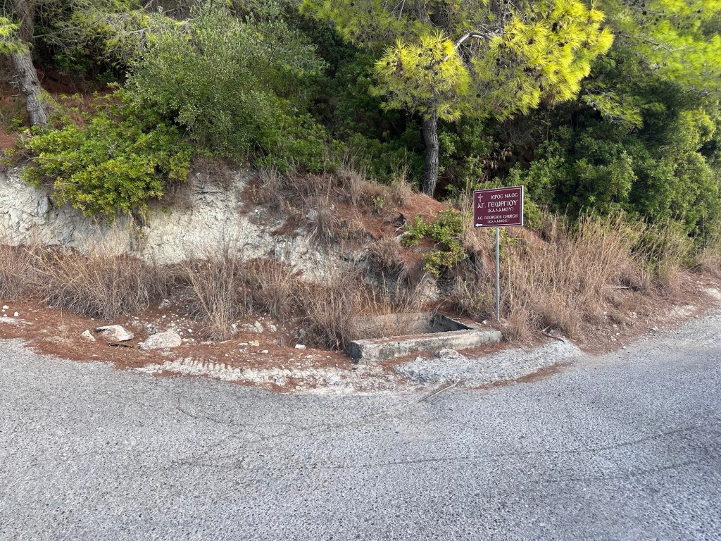
The road heads along to coast slowly climbing. After 800m there is a road going sharp left back up the hill signposted to Ag Georgios church – take that road. After 400m a track goes sharp right also signposted to the church. After 300m you pass the church keeping to the right onto the track as it starts to ascend the mountain.

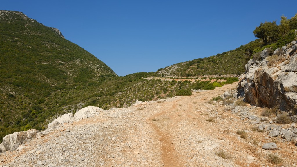
You now climb up through olive groves then pine forest getting higher and higher. The track turns to the right and then left as it zig-zags up the hill. You are heading for the top of the pass between the mountains up ahead.

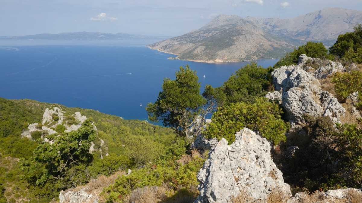
At the top the track goes a short way to the right where is the tiny church of Panagia Agia Paraskevi. There are a few benches outside and it is a very pretty spot to sit and eat those cheese pies. You get views in both directions to the south and north.
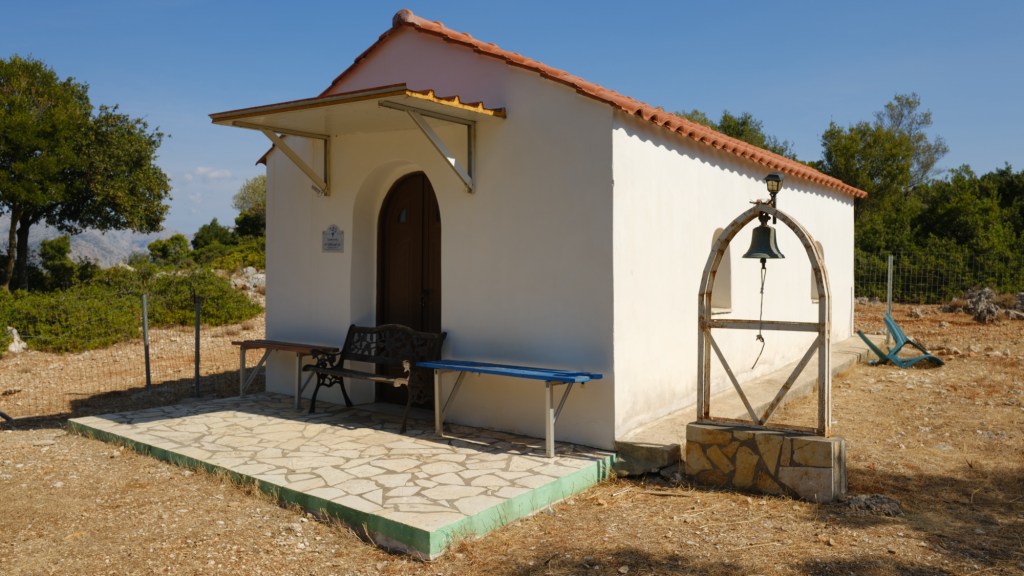
The church is of St Friday, an early Christian martyr. A wonderful spot. When you have rested retrace your steps back down to the port.
On the map are two other marked paths, one ascending the mountain to the right, and the other descending the pass on the other side. Both of these paths are very hard to follow on the ground, and cross extremely rough ground with thick vegetation. We cannot recommend either, unfortunately, after having tried them both. The path down was blocked by discarded cuttings when electric workers repaired the transmission lines. We will update this website if the path is repaired.