Stunning walk across the roof of Lefkada. A trail with the best views of the north, east and south of Lefkada with the surrounding seas, islands and mainland. Takes in five peaks on the high plain of the eastern end of Mount Elati – the highest part of Lefkada. And all for a mere 166m of climbing. The easy way to be a mountaineer.
If you want a full-on longer hike then walk up the A4 trail from Eglouvi, go around this trail, and then go back down the A5 to Eglouvi. This makes probably the best mountain hike on Lefkada. In total 600m of ascent and 11.5km long. Or for an uber-hike try the Lefkada all-thousand-metre-peaks challenge.
You won’t have to climb but do take suitable clothes, boots or walking shoes and carry plenty of water. The weather up here is usually more extreme than down below except being cooler in summer. The sun is stronger though.
You need a car or taxi to reach the start of the trail. You can walk up from Eglouvi if you are fit.
Links to trails up and down to Eglouvi, or beyond to climb Stavrotas too.
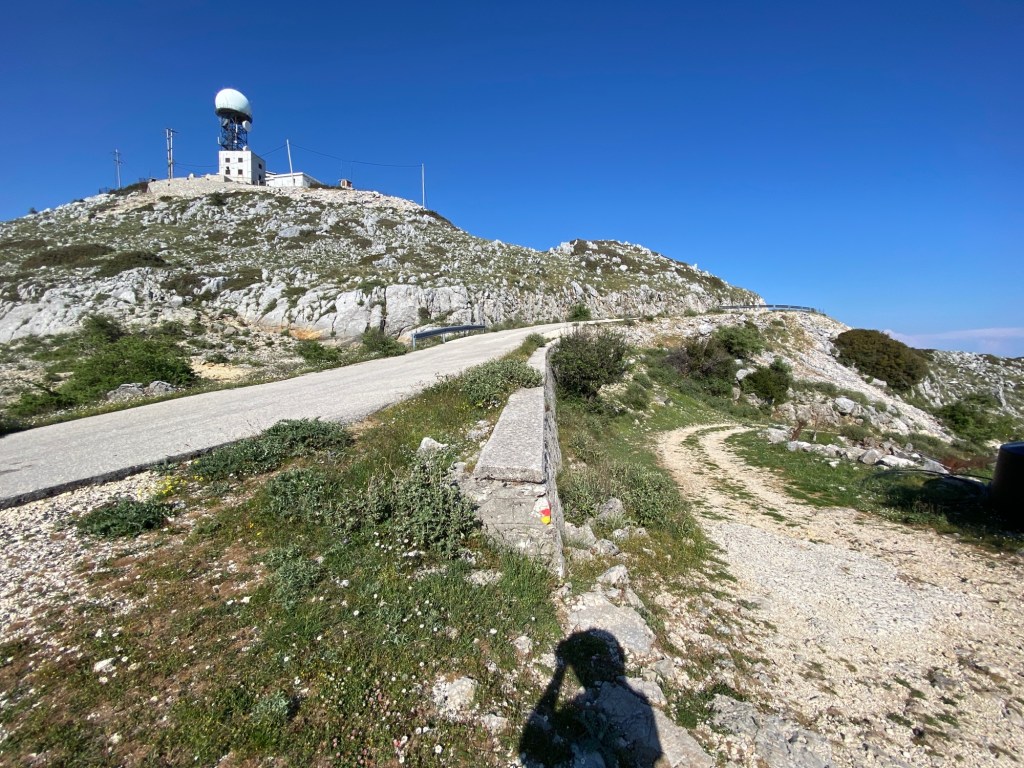
The trail starts from the high road by the antenna at the top of Mnimati at 1,130m. Drive up from either Eglouvi, Karia, Chorta, or Sivros. Take the turning off the high road crossing from Eglouvi to Sivros leading up to the antenna station at the top. Park just before you get to the antenna gates – near to a concrete blockhouse up on the right of the road. Do not block the road or tracks leading off.

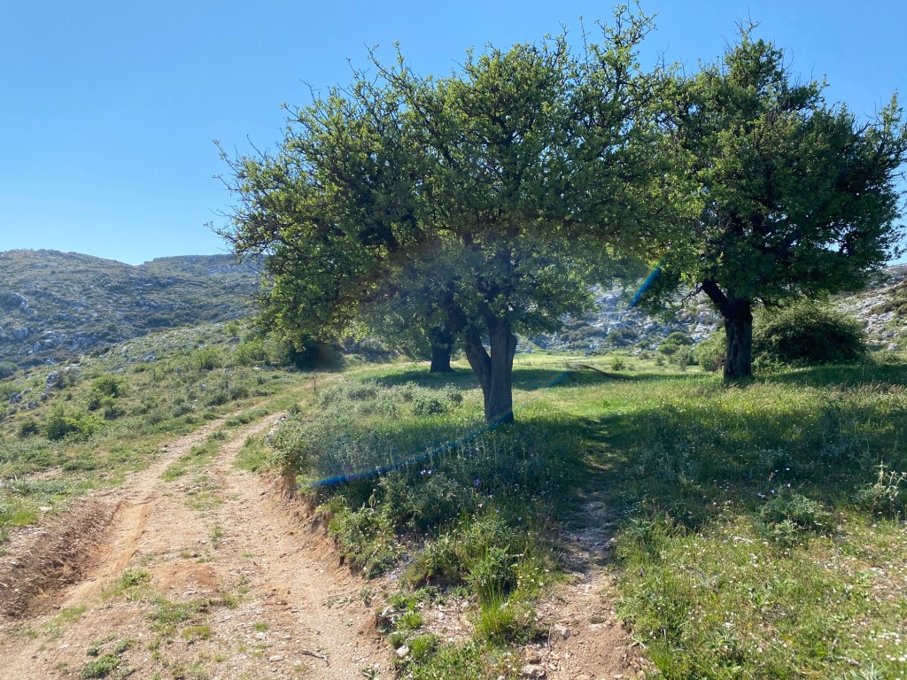
Take the track heading north-east. There is sometimes a metal fence that you need to locate and untie the wire or rope that holds the track gate closed. Take care and don’t damage the fence (it keeps the cows in). Make sure you re-tie as you found it.
Head along the track with views all the way up to Lefkada town in the distance. After about 300m the track turns sharp left and a marked path goes right. The path is marked with big red and yellow paint marks on the rocks – and is the A4 trail coming up from Eglouvi. Follow that path rightwards all the way to Katharia Rachi – the first peak. The path descends at first to a low pass before climbing up gently to Katharia Rachi after 1.5km. You can’t miss the red and yellow paint marks all the way.

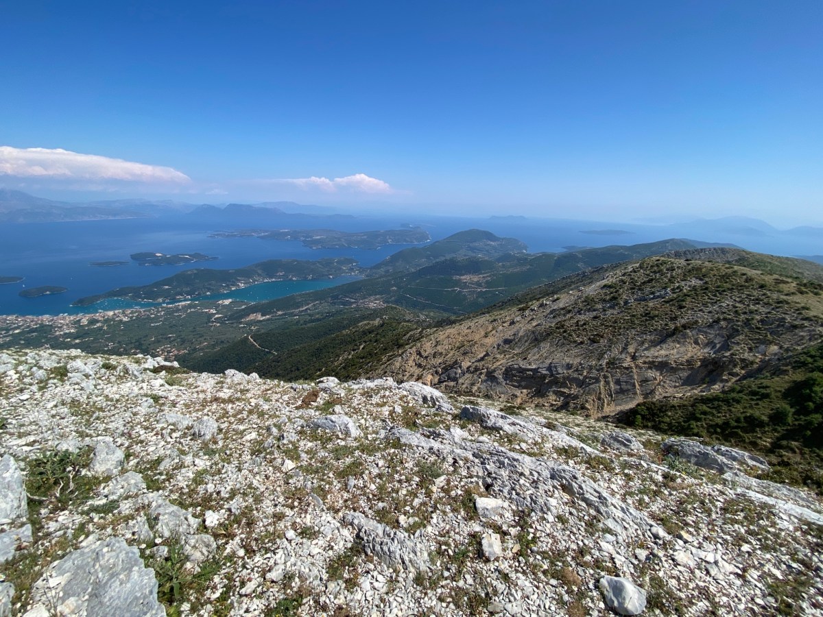
Katharia Rachi is marked with a sign in a small cairn. Also the slope suddenly drops steeply down in front of you and to both sides. You are now at the top of the most glorious view in all of Lefkada. Stand where Odysseus did. Look north towards Lefkada and Preveza beyond – on a clear day up to Paxos and Corfu. To the east is Nidri, out across the Inland Sea with Meganisi, Kalamos, and the mainland. To the south is Ithaca and Kefalonia beyond. To the south-east on a clear day is the start of the Gulf of Corinth and Patras. Stunning. Sit here and enjoy.

When you have finished looking take the path heading sharp-right almost back the way you came. The same red and yellow paint marks descend down and right down to high pass below you. After about 200m the marked path turns back left and descends more gently to the pass. The path then turns right and goes over a low hill until it reaches a T junction with an unsurfaced track. The paint marks go off right, and you will eventually go that way too, but first turn left and follow the track downwards.

The track descends to another pass where it ends and a path ascends a peak in front of you. Take that path to the top. At the top you stand on Alevrata with a similar amazing view as you had on top of Katharia Rachi except oriented more to the south. You can now see over the whole south of the island with Ithaca and Kefalonia beyond. Again, sit for a while and enjoy.
When ready retrace your steps down the path back down to the first pass and then back up the track you came down. Follow the track all the way until you pick up the red and yellow paint marks. Follow the track as it winds across the high plateau. There may be wire fences to cross but most have tied “gates” where crossing the track. Leave them as you found them as they stop the cows roaming.
The track eventually climbs back up to the road near the radio antenna at the top of Mnimati. At this point the paint-marked trail follows the A5 down to Eglouvi. Instead follow the road right towards the antennas and your parked car.
This trail can be easily linked into the trails A4 and A5 up and down from Eglouvi. You can also head along the short road to the start of the trail up Stavrotas – and go for a sixth peak.