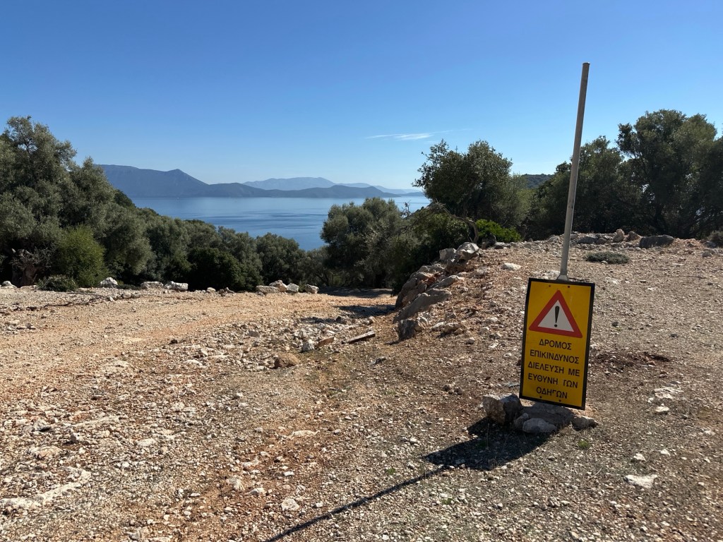
This trail combines visits to two historic locations important to Christians on Lefkada, with a visit to two amazing beaches. The walk starts and ends 2km to the west of Lefkada Town, and you can walk or take your car and park by the beach.
Christianity came to Lefkada very early, in AD 65 only 32 years after Jesus’s death. This trail follows the footsteps of the first Christians on Lefkada. It starts where they traditionally landed on the beach, and climbs to the first sanctuary, later monastery, high on the headland. The trail returns to the beach via a different path ending at a beach taverna.
The trail is short but climbs a fairly steep path up and a slightly less steep path back down. It is best to treat as a short hike rather than a walk.
Just 2km outside Lefkada Town, either walk, take your car or a short taxi ride.
Lots of accommodation and tavernas in Lefkada Town. Tavernas too at the beaches at the start and end of the walk.
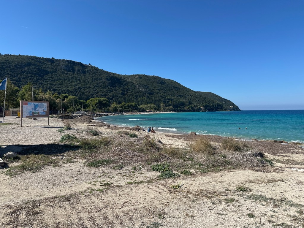
The trail starts on the Agios Ioannis beach on the western edge of Lefkada Town. Park anywhere on the side of the road. Start by walking west along to the end of the beach at a rocky headland.
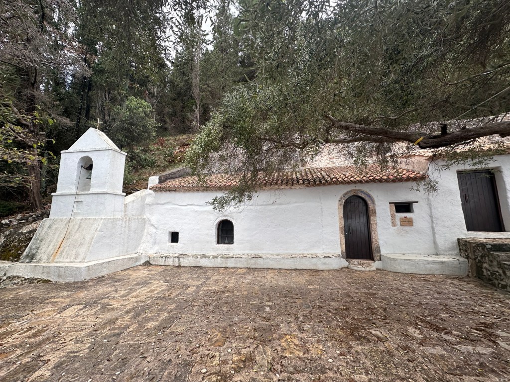
Just up from the end of the beach is the small church of Agios Ioannis Antzousi. This was the starting place of Christianity on Lefkada in 65 AD. According to tradition St Paul preached in a cave where the church is built.
It is known that Paul travelled through western Greece, spreading Christianity from Macedonia to the Ionian coast. He reached Nicopolis, the new Roman city, and spent the winter of 64-65 AD. This much is documented, and it is entirely possible he came to Lefkada. Indeed he travelled by ship which would have gone through the Lefkada canal. According to Lefkadian tradition, Paul came with his disciple Sosion, and later ordained him as the island’s first bishop.
A small church was built and dedicated to Saint John the Baptist, and known today as the church of Agios Ioannis Antzousi. Carved partly into the rock and shaded by olives, the chapel remains one of the island’s oldest sacred sites. Centuries later, the Angevin (Anjou) knights who ruled Lefkada restored it, giving it the name “Antzousi.” With its rough stone roof and quiet setting above the sea, it still feels like a place where the earliest Christians might have gathered in secrecy.
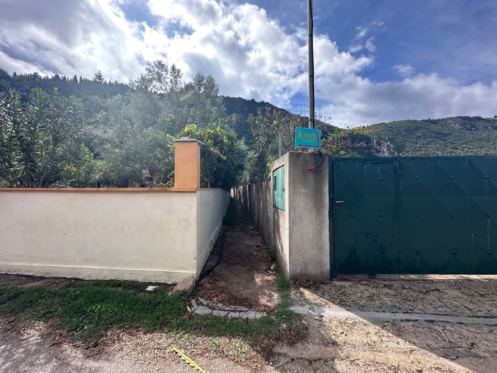
After viewing the church retrace your steps just past the Telegaphos Taverna. Continue along the beach for a short distance and take a small turning on the right, next to the beach blue flag and information sign.

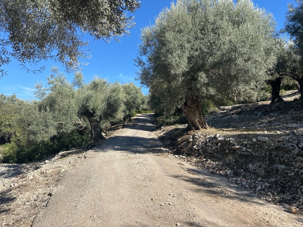
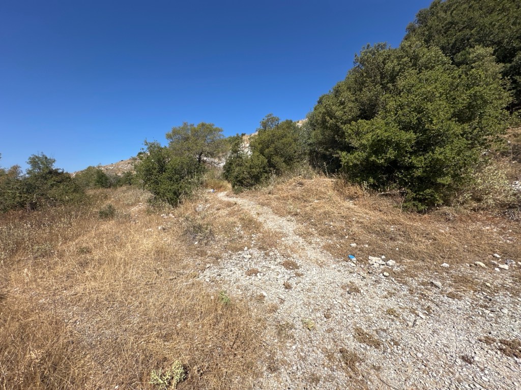
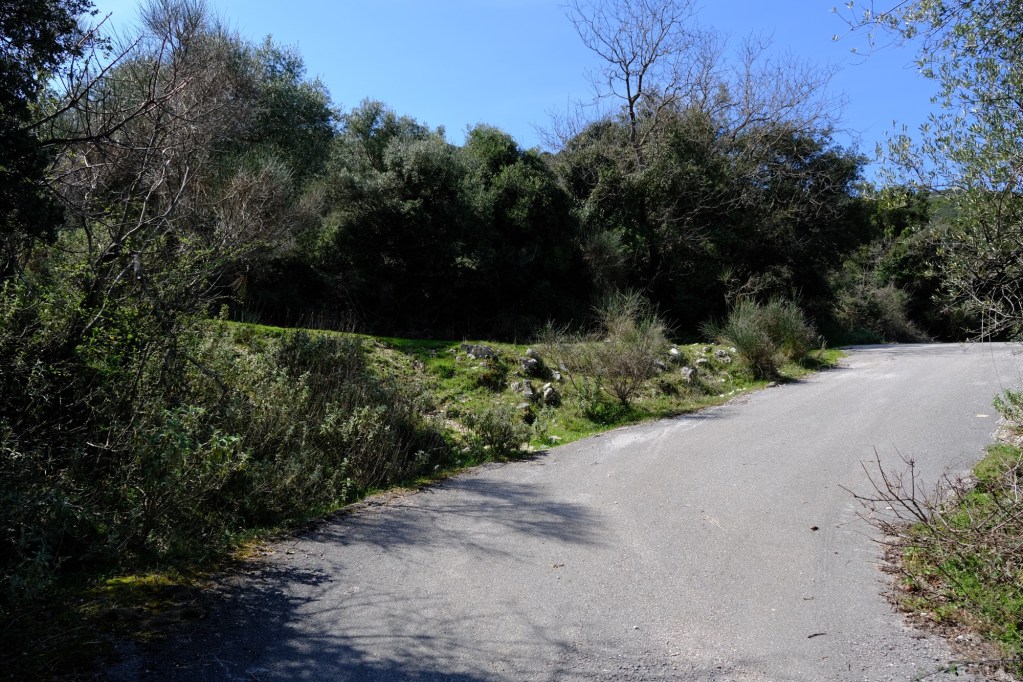
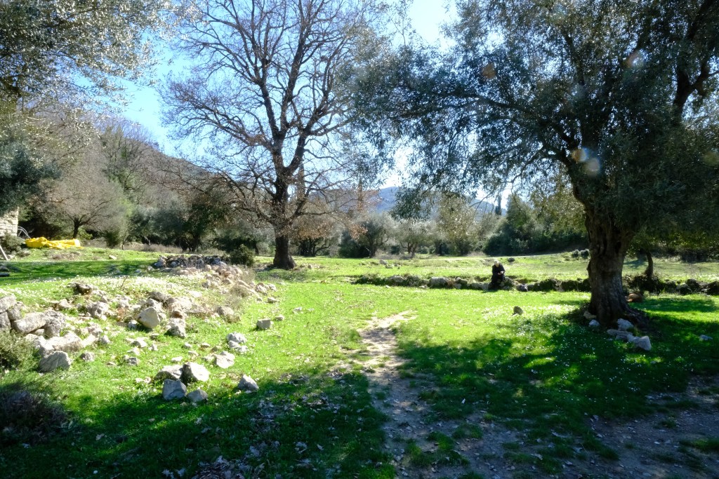
Keep to the small road as it wiggles through the beach houses for a few hundred metres. When you come to a greener area with olive trees take a track going right. It wiggles right then left and comes to a road. Straight over the road is a narrow path between walls.
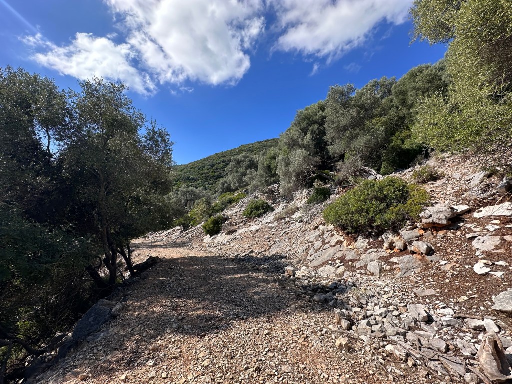
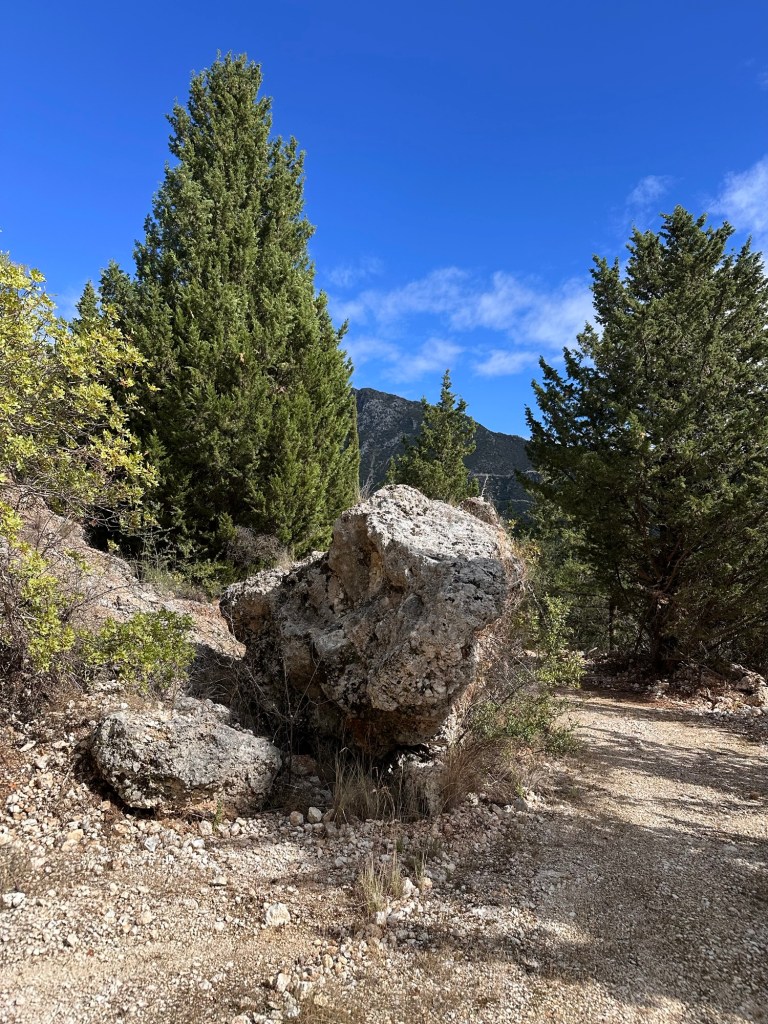
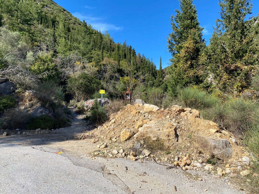
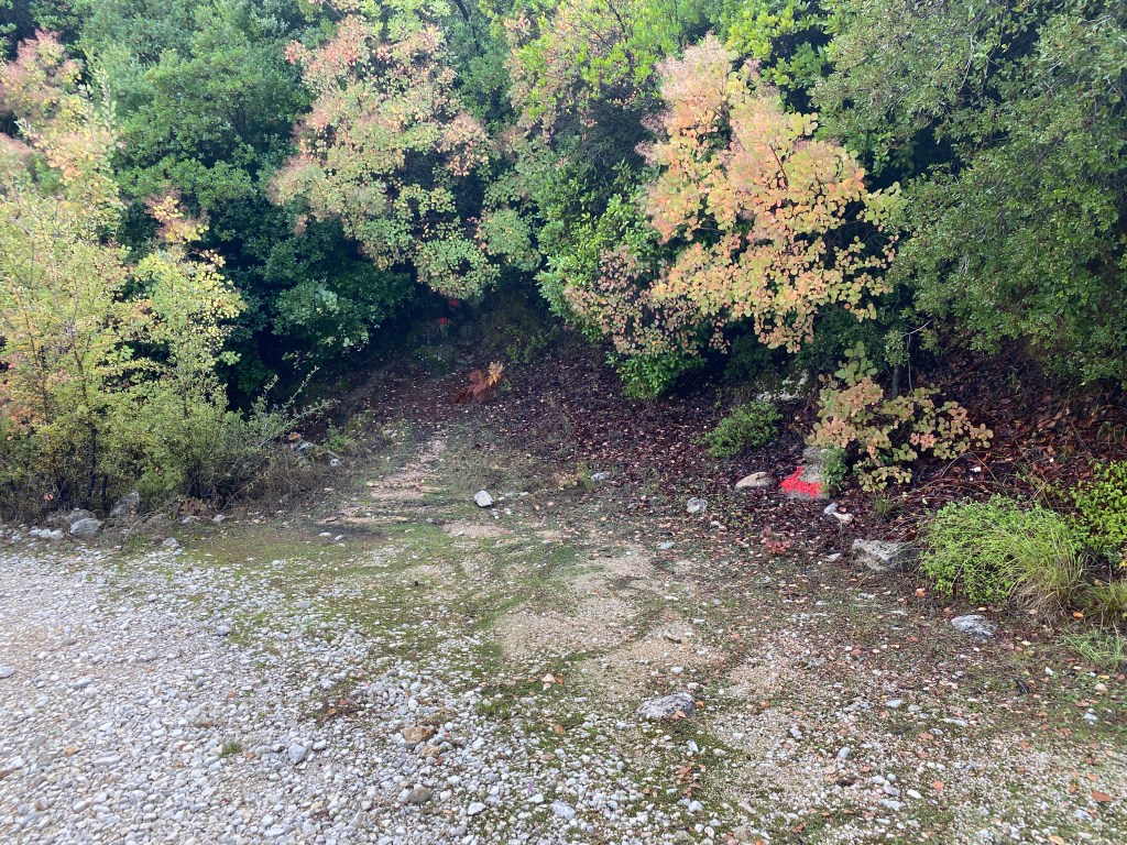
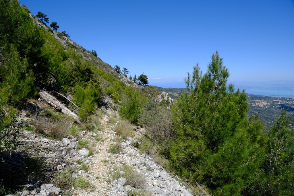
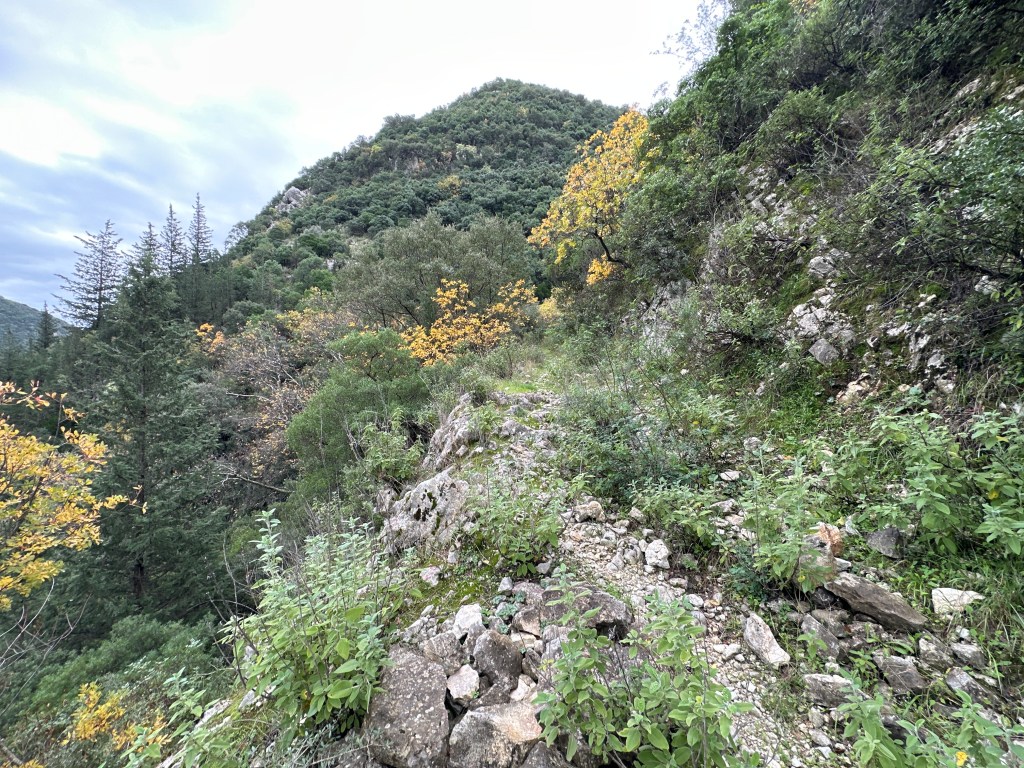
Take the path to a second road. Turn left and walk below the cliffs to an olive grove on the right. Take the track running on the right of a metal fence straight up a slope. At the top a monopati goes left and up the steep slope.
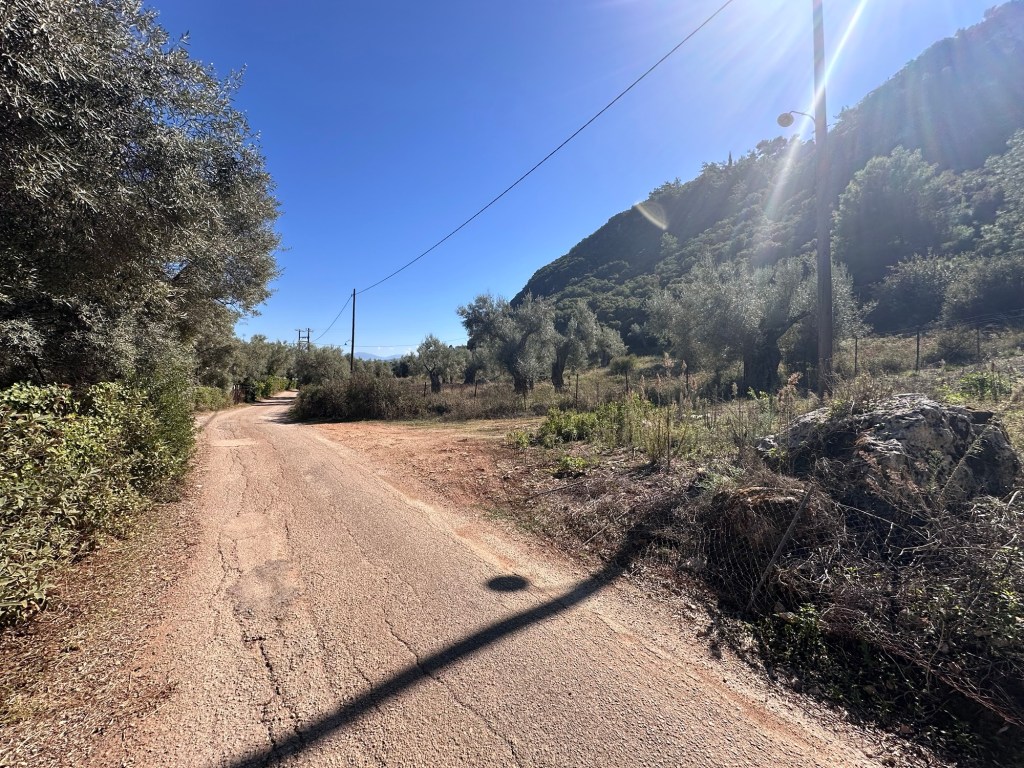
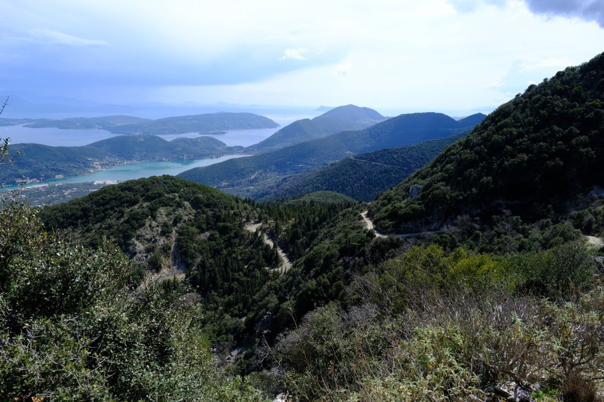
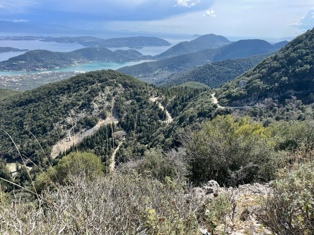
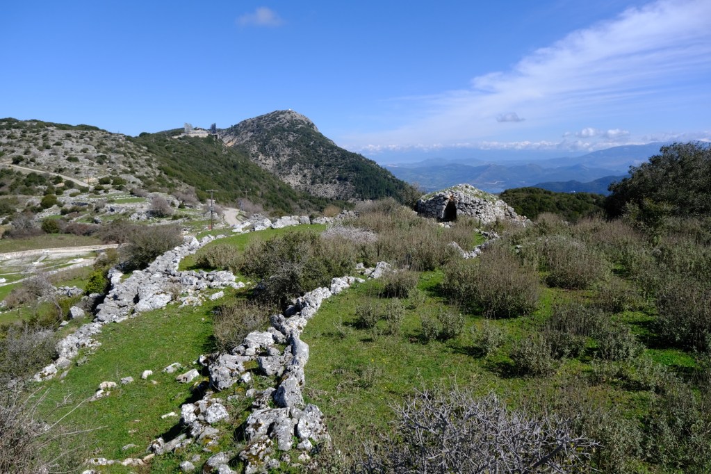
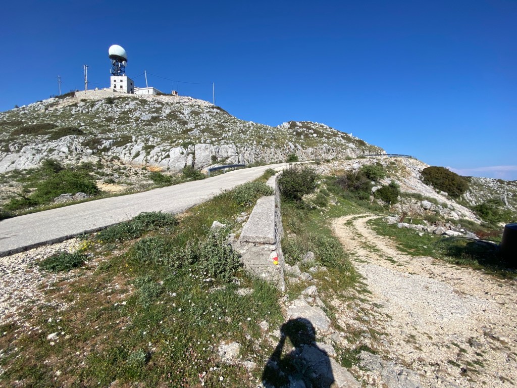
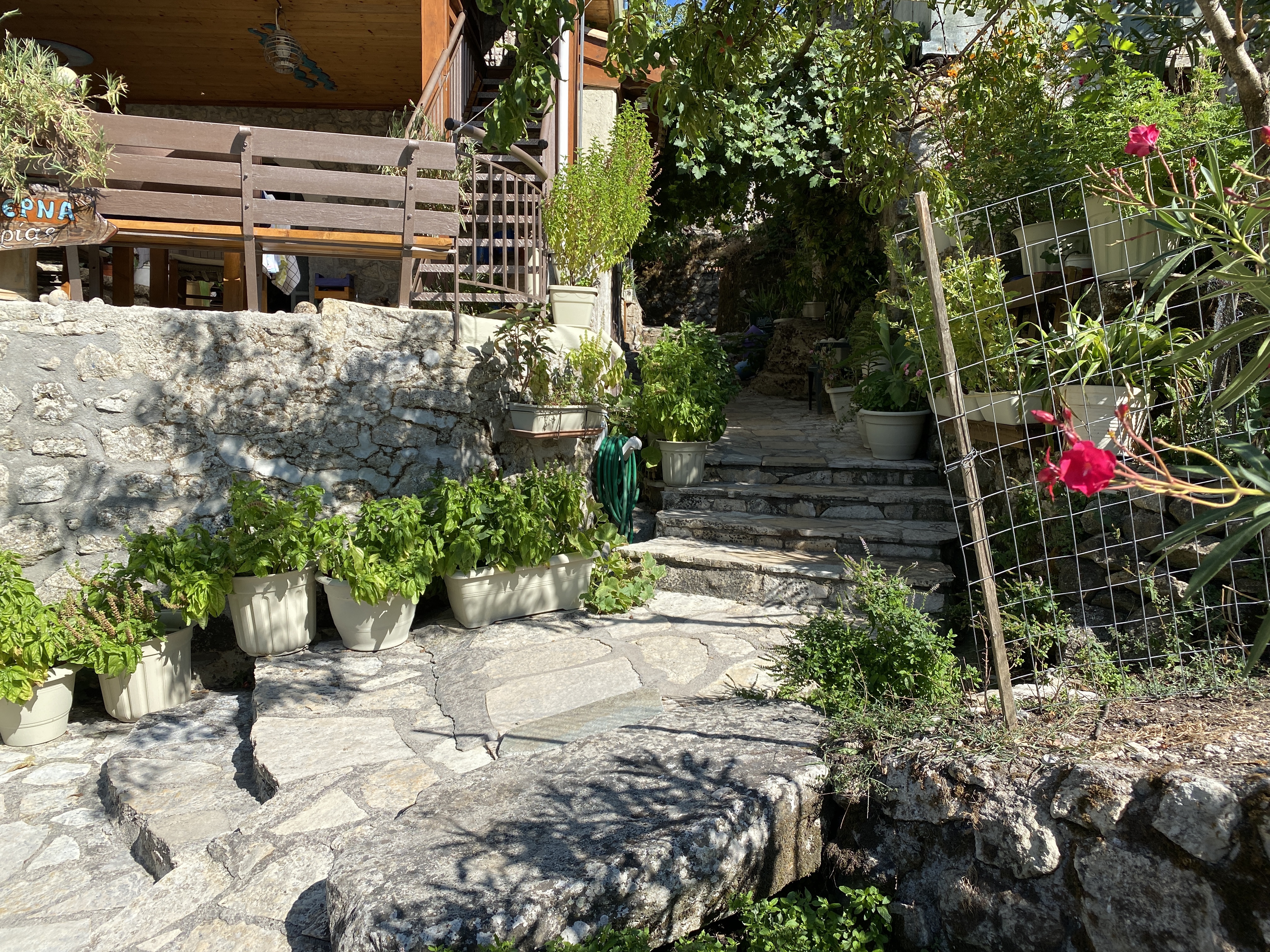
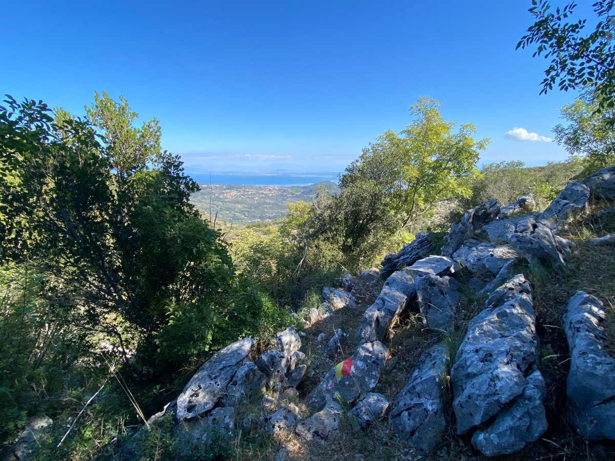
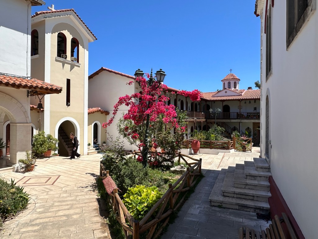
The monopati climbs steeply in zig zags as it traces a route up the hill to the top. As you get higher you get great views back across the bay below. As you get to the top you join a track near a gate, go left towards the road and the entrance to the monastery. If the monastery is open, the trail runs through the grounds where you can visit the small zoo, the church, a gift shop and a museum, exiting on the north side. If the monastery is shut, go left along the road around to the north gate.

From the first coastal church, Bishop Sosion and the early believers moved inland. Climbing the wooded hill above the first church, they found an ancient temple of Artemis. There they built a new church dedicated to the Virgin Mary, marking the birth of Christian Lefkada’s spiritual heart—the Monastery of Panagia Faneromeni. The name, meaning “the Revealed Virgin,” recalls the miracle of an icon of the Virgin that was said to have appeared to the monks who rebuilt the church. Artemis, the ancient god of motherhood and children was replaced by Mary.
By the 4th century AD, the sanctuary had become a monastery, serving as both a place of worship and a refuge for the faithful. Through centuries of Byzantine, Venetian, and Ottoman rule it endured, rebuilt many times after earthquakes and fires, most recently after the great blaze of 1886.
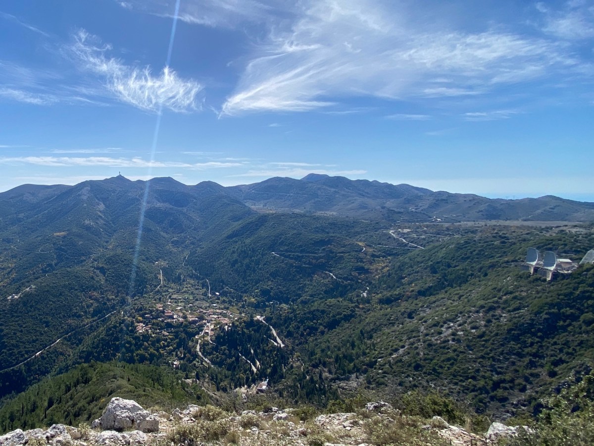
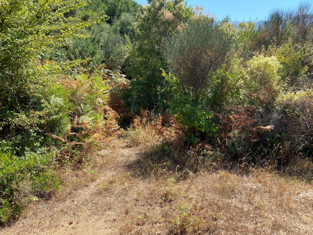
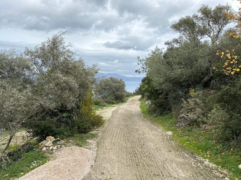
After you exit the north gate of the monastery, go right a short distance along the road and take the first track off left. This descends in a series of zig zags down the slope. They are not quite so steep as the way up, making your way a little easier.
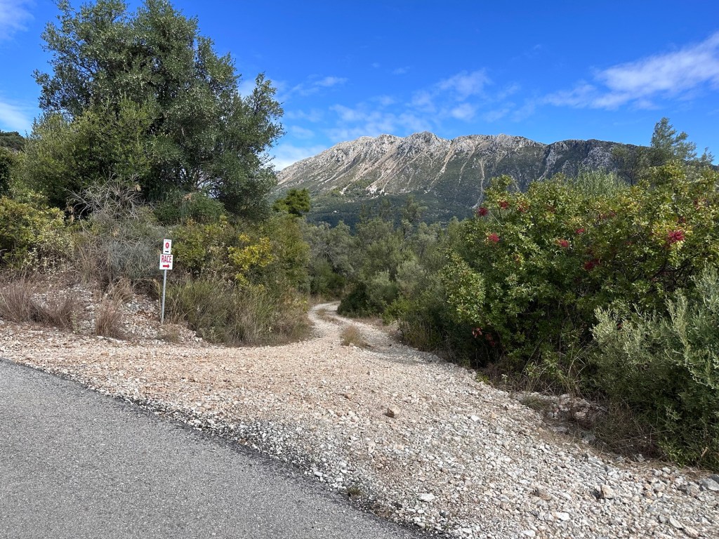
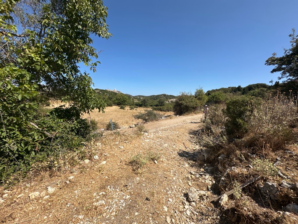
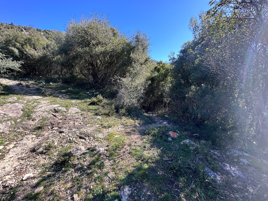
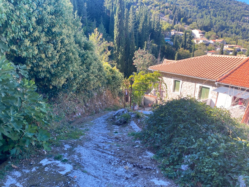
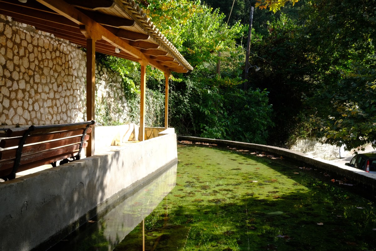
As you near the bottom of the path a second smaller monopati goes off left. Take this through a last few turns to reach a road along some houses. Go left, take one last turn down, and reach the bottom of the hill. Go straight on across the first crossroads by the small church, walk another 150m and take the first left turn.
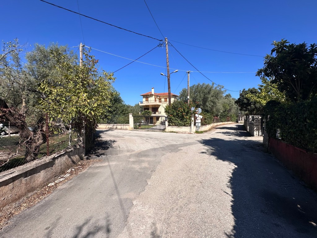
Keep going straight on along the road, ignoring minor turnings. After 400m you pass where you turned off to go up the hill, and then shortly after back to the beach.
The beach is wonderful with sand and rocks for swimming. To your left are a string of beach tavernas. To the right Agios Ioannis beach merges into Milos Beach with its old windmill towers. This a favoured location for kite-surfing, well worth watching their amazing acrobatics.