High above Eglouvi lie the wonderful and unique lentil fields that produce the famous Eglouvi lentils (now DOC protected). Next to the traditional threshing floors is the tiny church of Agios Donatas. Nearby are old stone volti shelters. This route follows the traditional monopati used by villagers over centuries to reach the lentil fields. You can return back the way you came or follow this trail as it explores the lentil fields before descending a gorge back down to Eglouvi.
The first part of the trail up to Agios Donatos is well shaded and possible on a hot day, albeit better evening or first thing. After that there is infrequent shade, but not much ascent. There is no water on the trail.
There is an infrequent bus to Eglouvi from Lefkada Town.
Tavernas and accommodation in nearby Karya. Tavernas in Eglouvi.
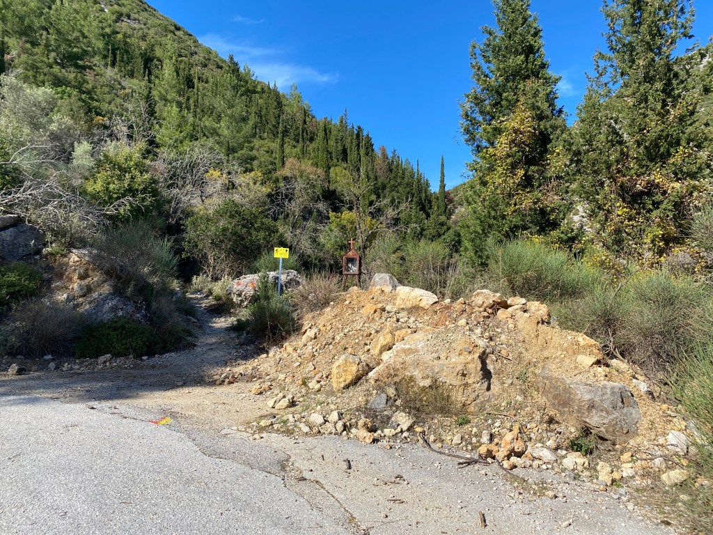
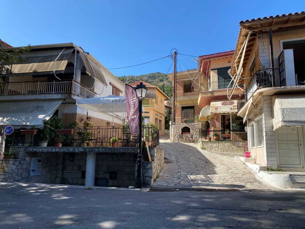
The trail starts in Eglouvi square where are several tavernas. Water from the tap by the plane tree. Go 50m back downhill to the road junction where a paved path climbs steeply to the left. The trail to Agios Donatos is signposted on the wall.

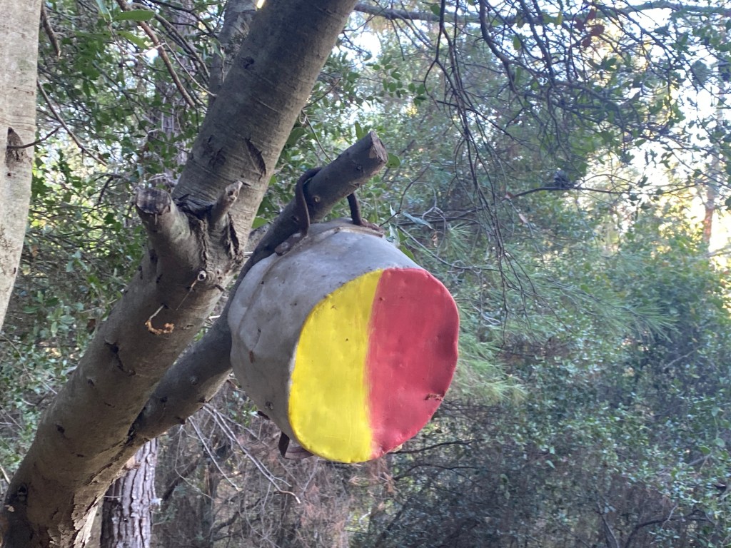
You will mostly follow the blue paint blobs, except for a few key sections described below, so don’t follow them without consulting this text. The many coloured routes are each different distances in the Eglouvi mountain races held each year. The village runners have kept these trails open over the years and we are grateful to them. For full continuous guidance download and use the GPX file on your phone or GPS device.
At the forks go left, right, left. Follow the blue paint. Walk up the road towards a church and cemetery and go right up the monopati just before you reach them.
After a short climb behind the cemetery keep right up the steep concrete track. You join a road for a brief way (left then right) and continue up the monopati.
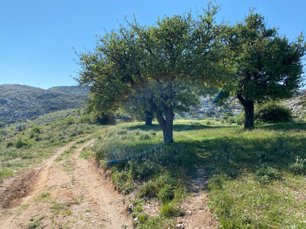
Follow this wonderful monopati as it climbs gently in the shade of trees tended by previous generations. A truly stunning path that used to be the main route between village and the high lentil fields.
After a while you cross the road again, left then right. After 200m the path opens out approaching the top where it forks. Fork right, this time following red not blue paint. The blue returns just after this fork.

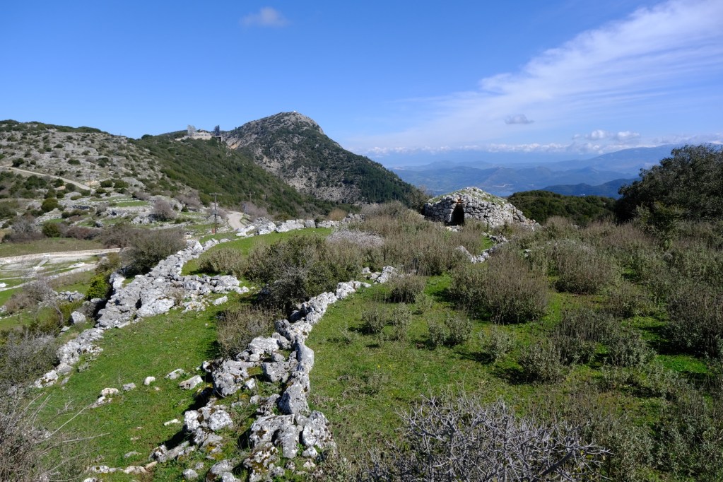
Just after the fork you reach the Ag Donatos church and lentil threshing floors. Behind are rock shelters used in ancient times by the lentil workers. If you are here in the evening of the 6th August each year there will be a lentil festival in full swing with a church service, a thousand people queuing for lentil soup and sardines, and late night music and Greek dancing.
You can simply retrace your steps back down to Eglouvi, many do and it is a good short trail. But the lentil fields are worth visiting too with wonderful views and many wild flowers. The best are in spring and autumn, but even in high summer there are many rock flowers unique to this high plateau.
After looking around, take the track on the opposite side of the road behind the threshing floors following the blue paint marks. Keep left at the fork and climb the low hill.
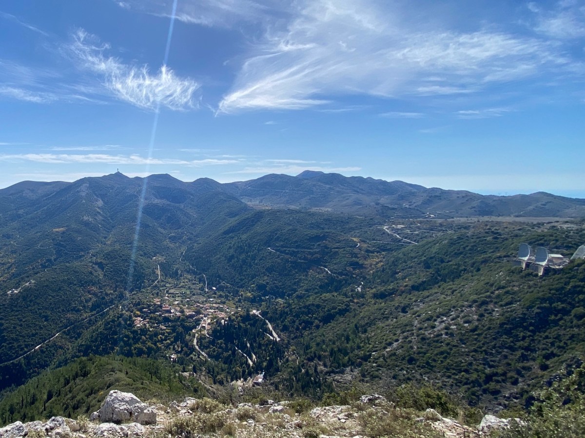
To your right is an expanse of lentil fields running across and up Stavrotas mountain. If you are here in spring or late autumn this will be green and full of wild flowers and the yellow flowered lentils. In mid summer it will be brown, but still wild and beautiful. The lentils are an important crop with high quality bringing high prices. This preserves traditional life and keeps at bay the Faustian pact of tourist “development”. As a hiker you can appreciate without disrupting.

Ignore turnings into fields and keep straight on the track up the hill. The track ends just before the hill top and becomes a monopati.
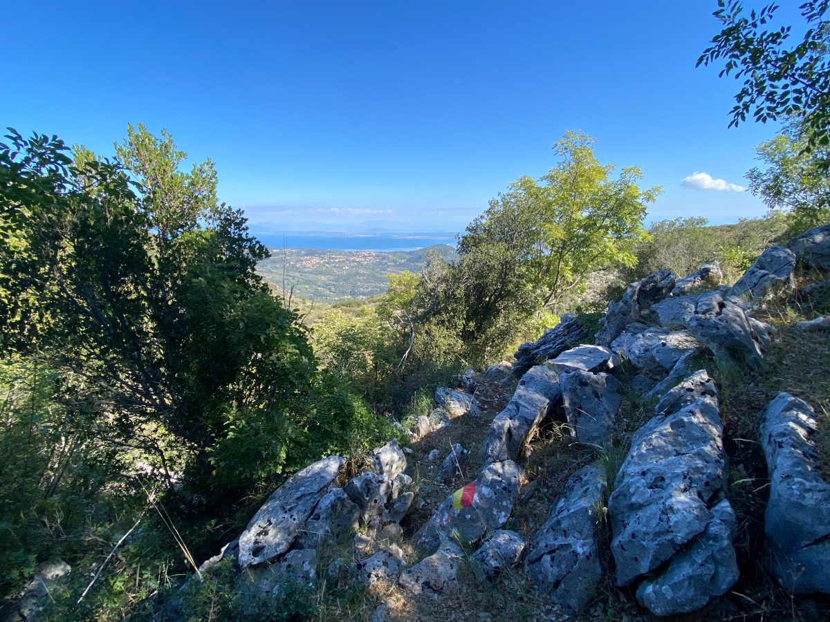
The monopati climbs to the top of the hill running right along the low ridge giving little view vignettes in all directions. Look back down to Donatos threshing area and onwards to Mega Oros and Agios Ilias. The path drops off the ridge down to a track. Go first right then almost immediately right.
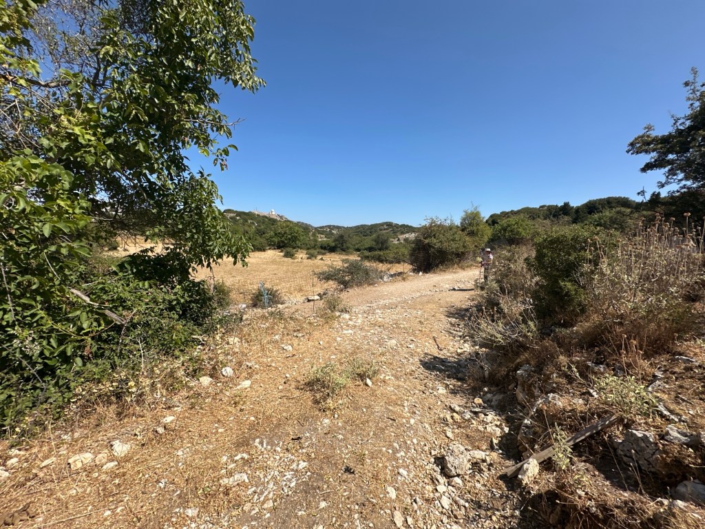
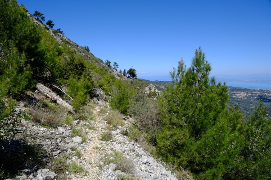
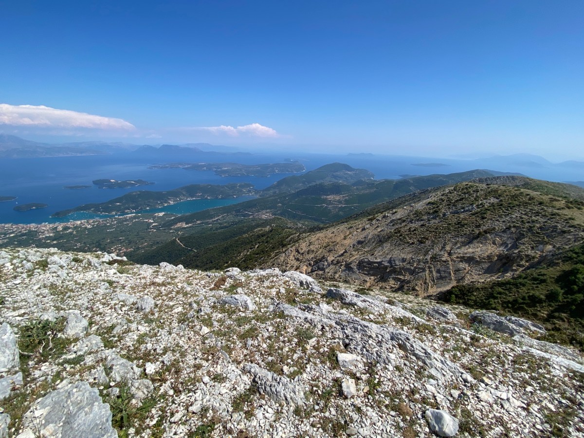
The track runs through fields then over a low ridge whereafter are views north towards Paxos and sometimes Corfu. Descend the valley keeping on the main track. The track starts to ascend the valley side, steep and gravelly at first. After going over a low ridge you meet a track where you turn left.
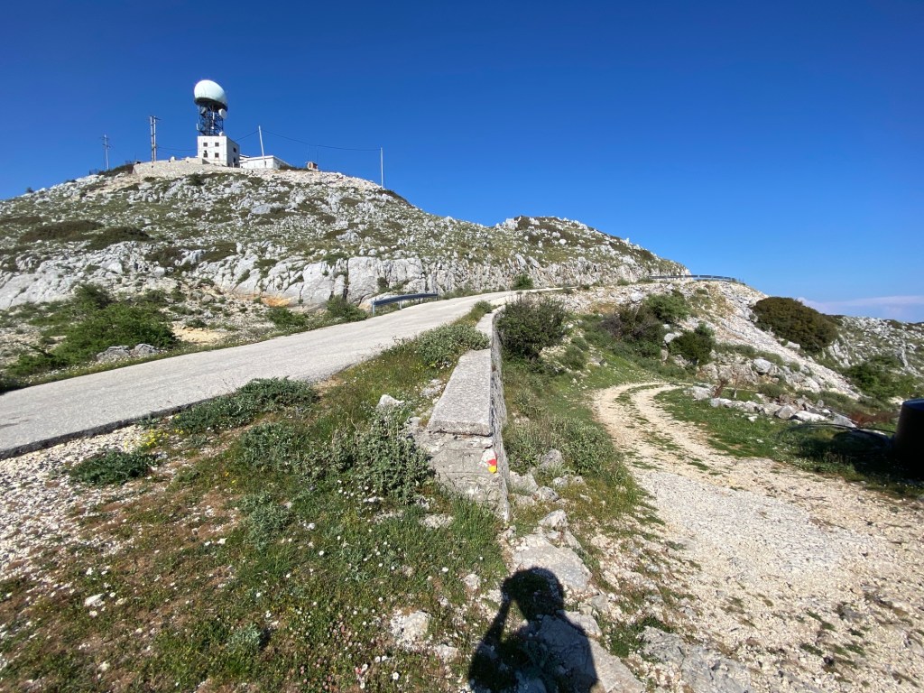
Follow the track ignoring field turns and gradually ascend. At the top of a hill turn right and then fork left heading towards the golf-ball shaped radar base.

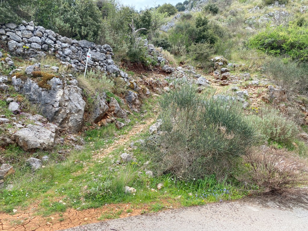
When the track goes right a monopati goes left straight up the hill. Follow the monopati over a rocky hill and down to the road as it skirts a big quarry. The monopati becomes a track just before reaching the road.
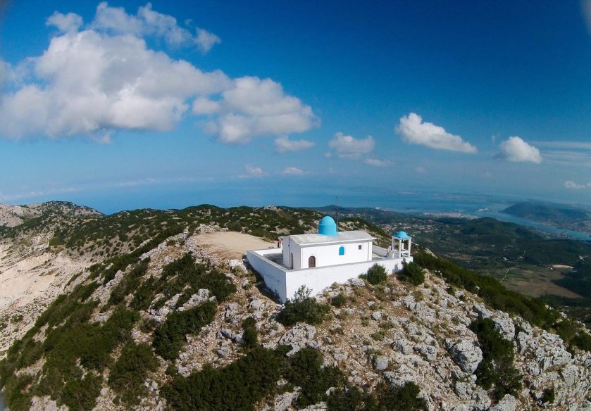
Go left for a short way to the junction where the road goes right up to Profitas Ilias church on the mountaintop. If you have energy it is worth a detour. The trail takes the track going sharp right down across the quarry at the road junction. The blue markers go a different way, but indistinct red markers show your way now.

Follow the track as it bridges huge gravel diggings keeping to the right where it forks. You are heading for the stream exit at the bottom right. You join a red yellow painted track as it comes in from the right. Keep down along the dry stream-bed. The blue paint markers re-join too from the left, and the multicolour trail descends towards Eglouvi.
As the stream gorge gets deeper keep to the right side and follow the very clear good path down the gorge. Eglouvi appears below and the Micky Mouse ears of the old NATO microwave relay base are up to your right.
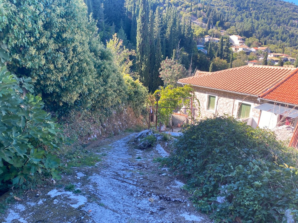
Join the road at the bottom at a hairpin bend. Head down left to the next hairpin where you go straight on along a track towards houses. A paved path goes sharp left down between houses and descends steeply to where you started.
I can strongly recommend the tavernas, you may see Trish and me sitting there post-hike. If you want to try the lentils they sell them, both in packets for you to take home or as various dishes to taste here. They sell out quickly after the late-July harvest, although they save some for the kitchen for you to taste. Beware fakes if you buy them elsewhere.