Climb all* the Lefkada peaks over 1000m in one day. The route starts and ends in Eglouvi village with its traditional tavernas. To earn that beer and lentil soup you have to climb a total of 1,345m over 23.3km of rocky mountain paths. Are you up for this mega-challenge?
The route first takes you up Profitis Ilias, then a trek across the lentil plateau to a climb up Stavrotas, the highest peak. The route heads east to Mnimati peak. Then out to the south end of the ridge at Mourrat, back to the far eastern viewpoint at Katharia Rachi, finally descending to Eglouvi via the windmills.
Only do this trail if you are fit and have experience of mountain trails. There is no serious scrambling nor rock climbs, but it is long and over rough rocky paths. Take all the water you can carry – at least two litres each (and more if very hot). We strongly recommend using the GPX file on a GPS app or device to find your route.
* Note that “all” over 1,000m peaks does not include Mega Oros which is an off-limits military radar base. We go close but not fully to the top of Mnimati for the same reason. We don’t include smaller peaks, that are separated from a taller peak with a drop less than 30m. So it is “all significant over 1,000m peaks on Lefkada that you are able to climb without going to prison”. But that doesn’t fit easily on the T shirt.
Infrequent bus to Eglouvi from Lefkada Town
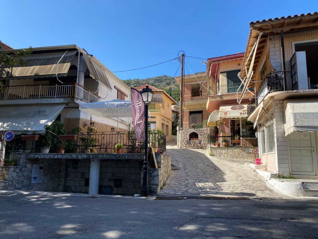
Tavernas in Eglouvi. No accommodation but Karya is a 4km walk downhill.
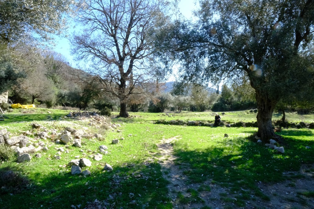
Start from the Eglouvi village square. You can get water from the tavernas or from a tap under the plane tree.
Head off up the A3 path to the top of Profitis Ilias.
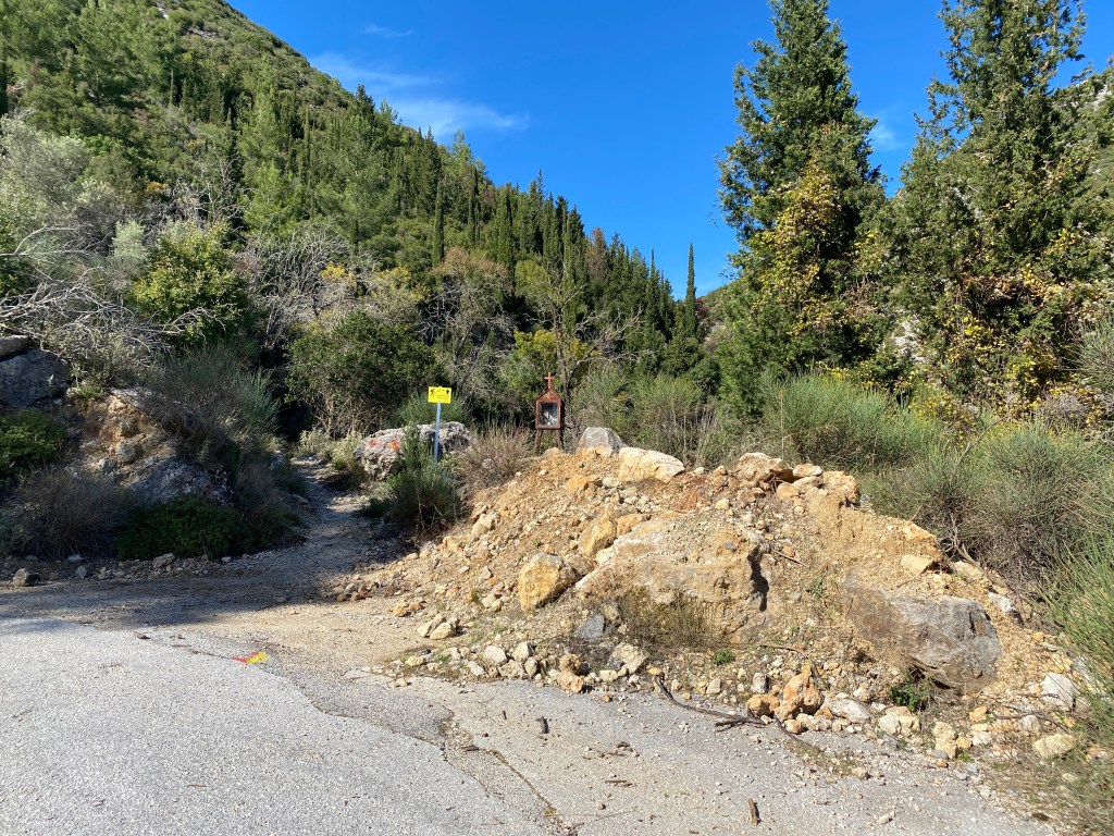
Walk a little downhill from the tavernas back towards Karya. On your left is a turning with a yellow A3 sign. Take this turning and follow the next yellow A3 signs left, right and right again through the footways of Eglouvi village. The last footway takes you back onto a road heading rightwards up the hill.

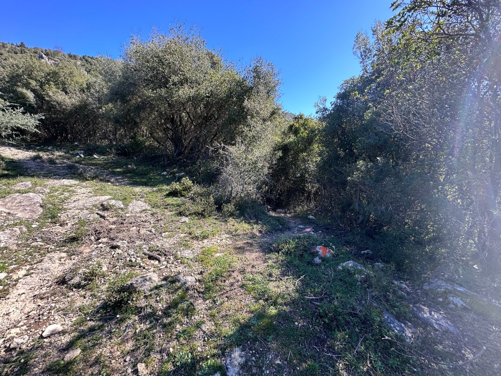
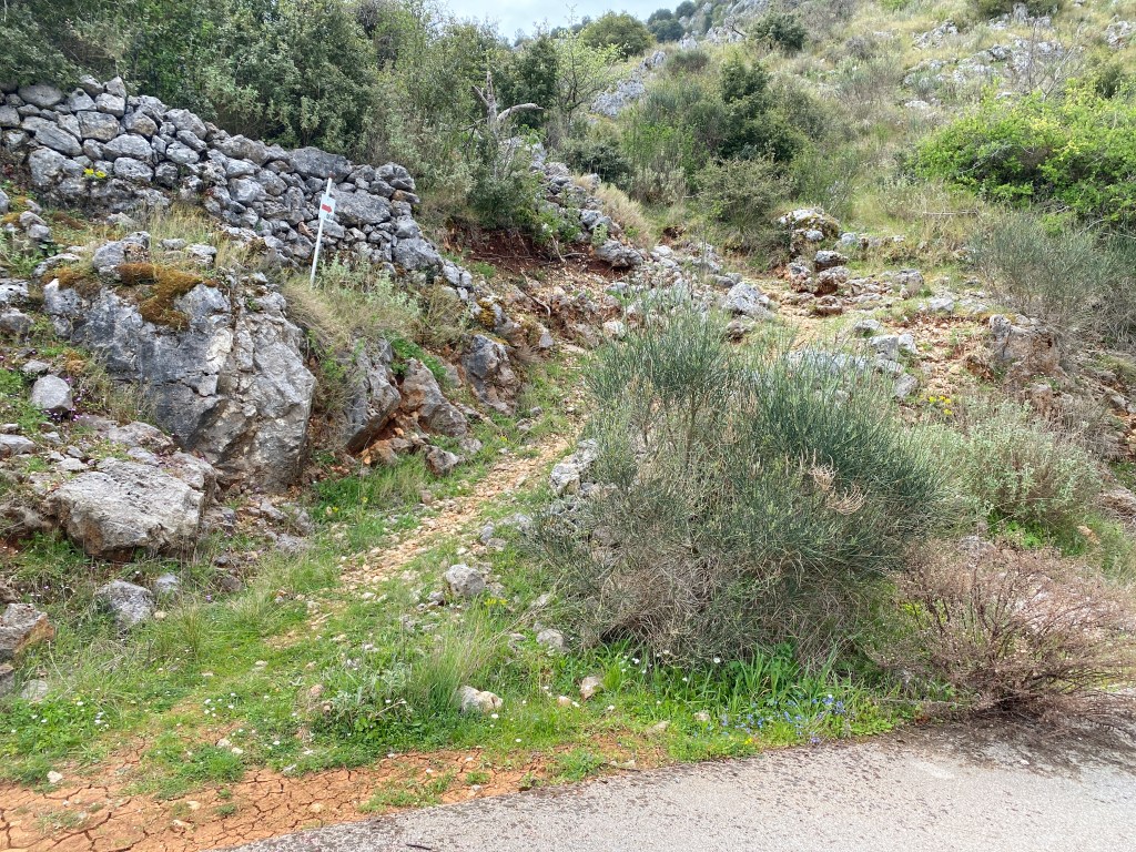
At the top of the road (just as it turns a hairpin left) another yellow A3 sign points up a monopati heading up a steep valley. Follow up that monopati as it climbs right up to the top on the left side of the steep valley (almost a gorge).
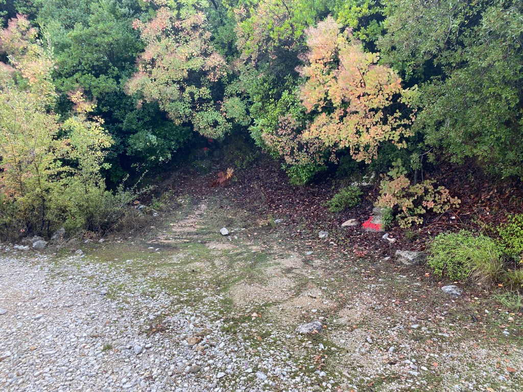
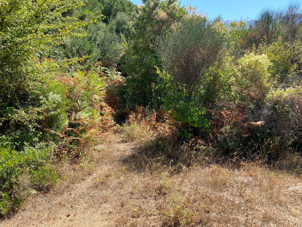
The going is pretty steep so take care. You follow yellow and red painted marks on the rocks all the way up.

As you come to the top you start to enter a large quarry area. Keep going up the dry stream bed until you get to a trail junction with the A3 marked going off right. Go right and head over the quarry heading towards the mountain up on the right (your destination).

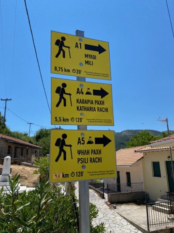
The junction of the A3 (going to Profitis Ilias) and M4 (going to Karya)
Head up the mountain ahead until you meet a short track heading from a road on your left. It is possible to take that road up to the top, but the A3 trail keeps right along the short track passing a small field. The track then turns back into a monopati climbing further up the mountain. Finally it reaches that road again further up. Walk a short way up the road to the church of Profitis Ilias at the top of the mountain.

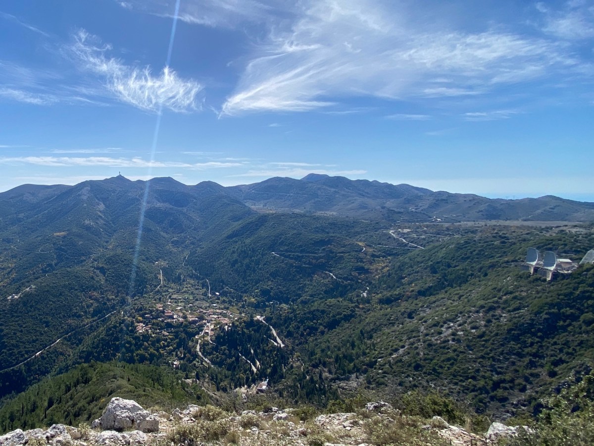
Many describe this spot as being close to heaven. You can see all of the Inland Sea from here – on a clear day to the entrance of the Gulf of Corinth. When you’ve paused to take it in, set off back down the road. Keep going on the road as it passes around and across the quarry finally meeting another road at a T junction. Turn left along the road and then after 100m take a track going off right marked in red, yellow and blue paint.
For a while you follow the red, yellow and blue. The track turns left and then right onto a monopati across the low hills. You rejoin another track keeping straight on and then right. At a point the markers turn right onto another path, you keep straight on along the track until it rejoins the road. Go right and follow the road a short distance to the small church of Ag Donatos and its threshing floors.
Follow the road first right and then, shortly after, left heading to Ag Ilias. Follow the road up past twists and turns as it climbs up through the lentil fields. Just before the road turns sharp left on a hairpin at the end of a small valley a track goes off up to the right. Take that track. Keep left at two junctions and the zig-zag up the slope heading up towards Stavrotas. At the top keep right and over the low pass where the track fades for a short length as you cross the high meadow to the track on the other side. Head left up the track.
As you start to climb again the track is blocked and a path starts following the same route as the track but slightly down the hill. Take this path along and up to a small saddle of rocks. The red paint markers help you follow the trail. After the saddle you go left up to the start of the main slope up Stavrotas.
At this point a second path (which you will go down later after summiting Stavrotas) joins from the left with both yellow and red dots. Carry on upwards and slightly rightwards following red dots. Climb up the slight ridge on the left side of a small field system and up onto the steep rocks of the last part of the climb. Do not walk over the fields as they grow lentils even at this high remote spot.
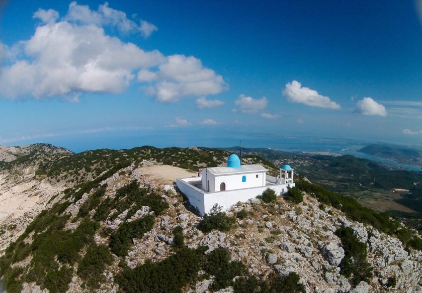
Keep going up to the top. There is a slight false summit just before you get to the real summit. The real one is clearly the highest and has a small cairn, flag pole and shrine box. This is Lefkada’s highest point at 1,182m. The views from the top are in all directions. You can see up North over Preveza to Paxos and Corfu – South to Ithaca and Kefalonia – east to the Gulf of Corinth – west out over the Ionian Sea.

After resting a while head back down the way you came to the path that came up from the left (now right). Head down that path. The way is not all that clear but you are heading down the right side of the small valley to the bottom where it passes a high goat hut. There is sometimes a dog chained up which you can avoid passing around either left or right to the track in front of the hut. Head right and down a short way until you reach a road.

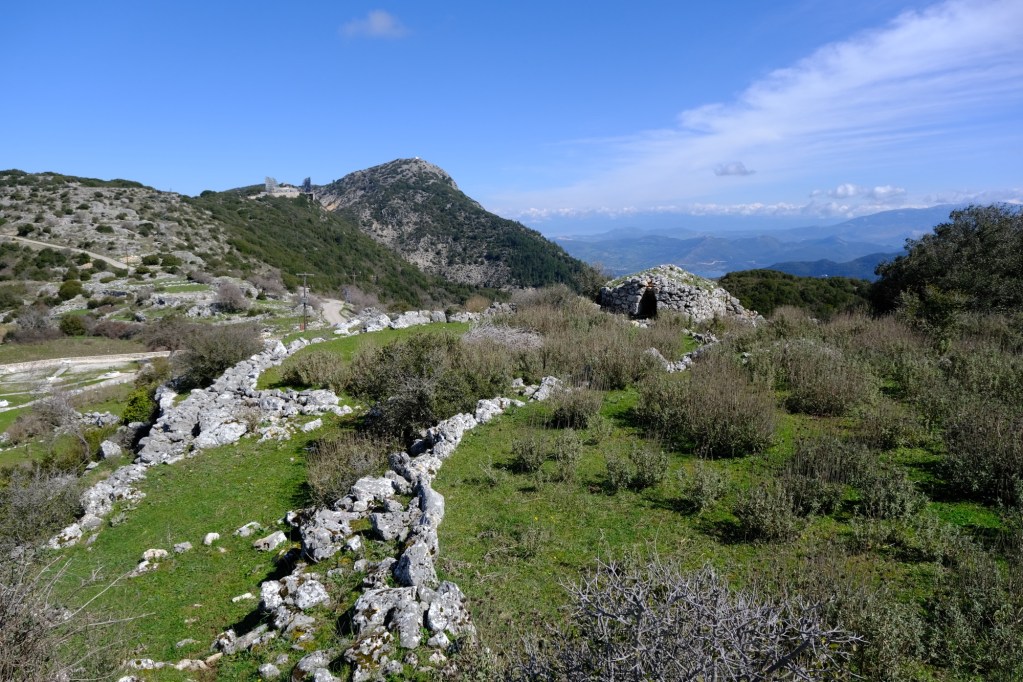
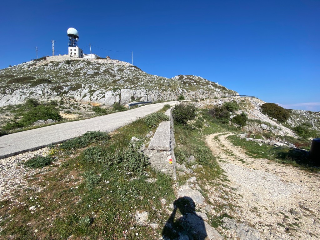
Turn left and head up a short way to the top. Another road heads off right heading to the communication masts on the top of Mnimati. Walk up this road, it is usually very quiet. Just before you get to the masts themselves a path crosses the road marked by red yellow paint. Follow the track off right as it descends a track past a small hut.
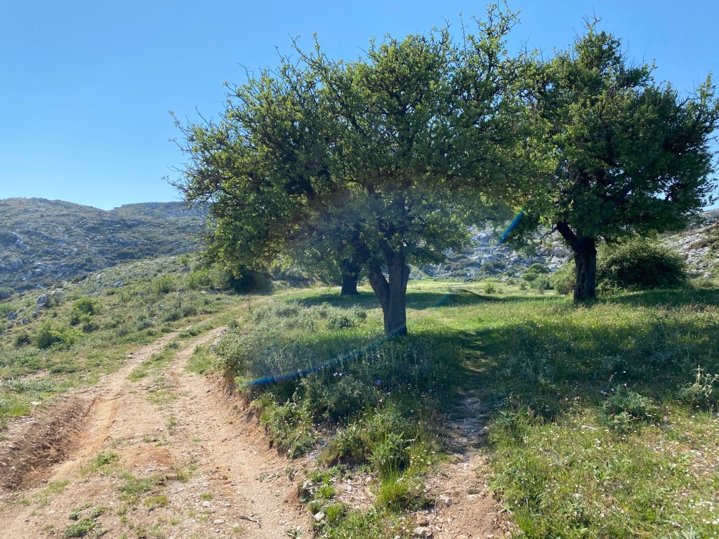
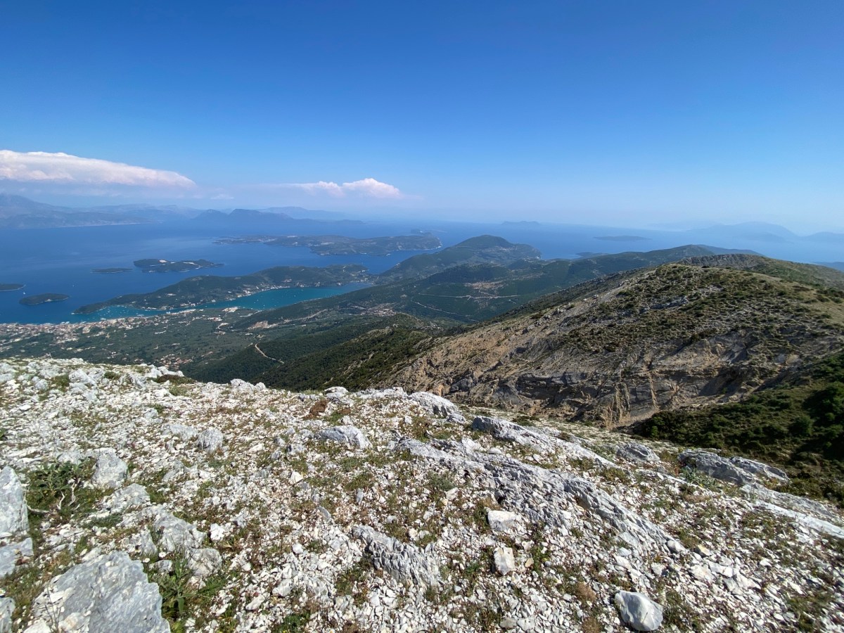
Follow the track with red and yellow paint blobs as it winds down over the high plateau of Elati past several small hills. Ignore where the red and yellow paint marks go off left leaving the track on a path (you will go that way later). Soon the track stops on the ridge running north-south with a view down to Nidri. Climb up a faint monopati running along the ridge up to the peak of Mourat at 1,037m. This is the most southerly peak on this trail.

When ready head back the way you came to where the red yellow markers went left (now right). Follow the markers as they cross a field and then climb up to Katharia Rachi. This is the last peak at 1,085m with its stunning view down to Nidri and out over the Inland Sea.

Turn back almost the way you came but following the red yellow paint a little to the right heading directly back to the antenna masts on Mnimati. Follow up and down along the ridge passing the masts on the right-side and then descend towards Eglouvi. The ridge is fairly steep down so go carefully. Towards the bottom of the ridge the paint marks will take you around the right of a small vineyard and then down to a road. Head left a short way to a track heading up right.
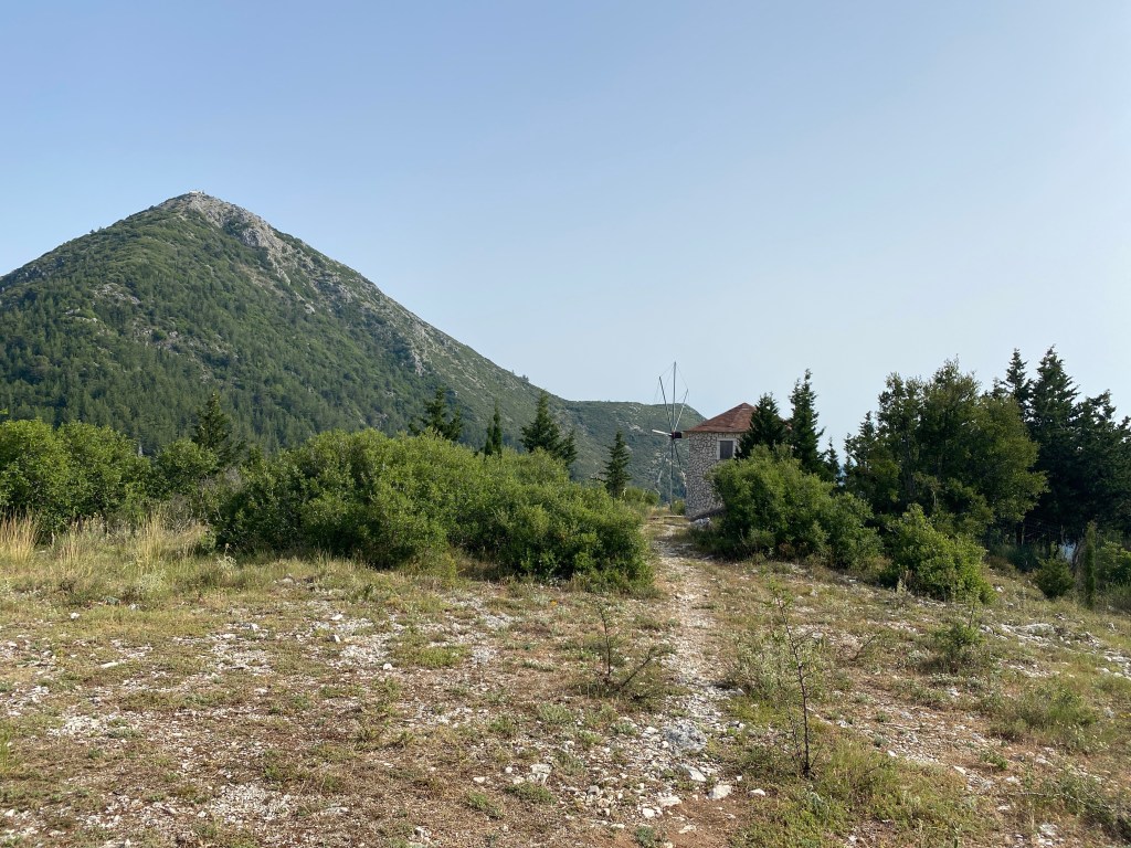
Walk up the track to two windmills with their view out over central Lefkada and Eglouvi. Take the monopati down left behind the first windmill as it descends to the village. Follow the markers along the road to the centre of the village – straight on, right, left, right, left, right and up the steep path to the back of the tavernas.
Congratulations. You’ve completed the challenge. I strongly recommend the tavernas to refresh and celebrate. In fact you will often find me sitting there having lunch or an evening beer after a walk. I recommend trying the lentils – either as soup or salad. They are the best lentils in the world and a fitting meal for a champion hiker like you.
You can give a toast of thanks to the mountain runners of Eglouvi that maintain most of the monopatis you have walked. Theirs are the painted blobs indicating the various length runs. We are very grateful to them for keeping these paths open.