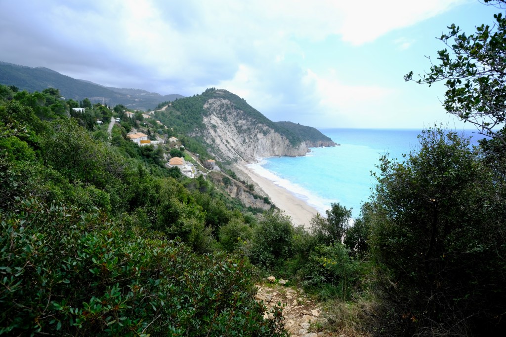
A short trail over the headland between Ag Nikitias and Mylos Beach. Mylos is one of the best beaches on the island. Ag Nikitas, too, is a pretty seaside village on the north west coast of Lefkada; with a nice beach and tavernas. A pleasant place to spend time. However 30 minutes walk takes you to a much larger and quieter beach. On the headland is an old windmill – hence Mylos Beach (the English word “mill” comes from the Greek word “Mylos”). The beach is almost all wonderful sand.
The walk is short, but up and down steep steps. So best to do it in the morning or evening in summer, or anytime the rest of the year. There are no tavernas or anything else at the beach, although a caravan serves drinks in peak season. So best to take what you need – and, of course, bring back all your rubbish.
Note that this is the only public-access trail to Mylos Beach. Two other tracks down to the beach are private and blocked with locked gates. The cliffs make any other potential route highly dangerous. On calm days in summer boats will take you to the beach from Ag Nikitas.
Tavernas and accommodation in Ag Nikitas. A seasonal kiosk at the beach.
Park on the road on the edge of Ag Nikitas. The village itself is car-free apart from residents. There is quite a bit of space for parking on the road but, as Ag Nikitas is popular, fills up fast in summer. You can also park towards Lefkada town and walk into Ag Nikitas along the coast.
Sign in Ag Nikitas at the start of this trail
Half way down the pedestrian road from the nearest parking to the beach is a sign to Mylos Beach pointing left (if facing the beach). Take this path as it goes up and slightly left up steep steps. Climb up to the top with good views back into the village.
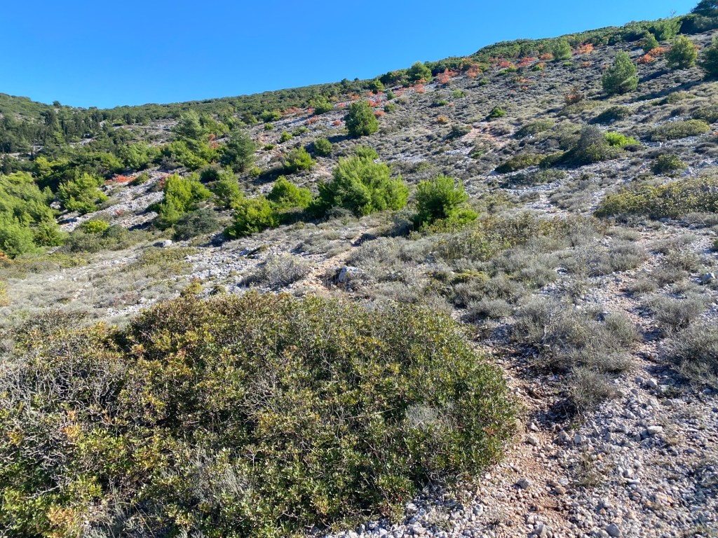
The path runs over the headland, some parts paved, other parts rough.
The path runs up and over the headland through a forest giving some welcome shade. It then starts to drop down the other side. Here you get your first glimpse of Mylos Beach ahead. The path now starts to descend down very steep steps. Take great care.
View down to Mylos Beach
At the bottom is the beach. You can walk along the wonderful sand to the headland at the far side. You can also walk on the dunes behind the beach – but please stick to the paths and don’t walk on the flowers, herbs and grass that bind the sand.
The old windmill up on the headland from which the beach gets its name.
Mylos Beach is a great place to sit, swim, picnic, smooch, whatever. A common question Lefkadians get asked is “what is the best beach”, with so many to choose from. A common answer is to avoid giving away that really nice quiet one. Mylos could be that beach.
Return back the way you came. Two other paths down are private. Don’t even think of climbing the cliffs at either end of the beach. On calm days in summer it is possible to get a boat back to Ag Nikitas. Note that the summer daily wind pattern is for a north westerly blow mid-late afternoon (it is why sailing and windsurfing is so good here). Be prepared to walk back.
This walk runs from the mountain village of Ag Petros down to the cape and lighthouse on the south tip of Lefkada. It follows a set of tracks running through the pine forests on the long tail of Lefkada. The trail is mostly monopati and unsurfaced tracks for the the first half of the route – there are fairly quiet (depending on season) surfaced roads as you get near the cape. It gets pretty remote down at the cape.
An alternate start is from Vasiliki. Walk across the bay and climb the steep zigzag path straight up to the the pass. Keep over to the right near the top and join the track described below just after the mobile phone masts.
The trail is the sixth and final part of the Lefkada Trail taking you down to the southern tip. It is a relatively easy walking (but long) and gives a fine range of views as you head down to the cape.
Start off from Agios Petros heading up on the road towards Chortata. Keep going out of the village through the large pines. Be careful of cars as it is a busy road. After 500m there is a concrete ramp up left leading to an unsurfaced track heading back south.
Turn left on the track 500m north of Agios Petros
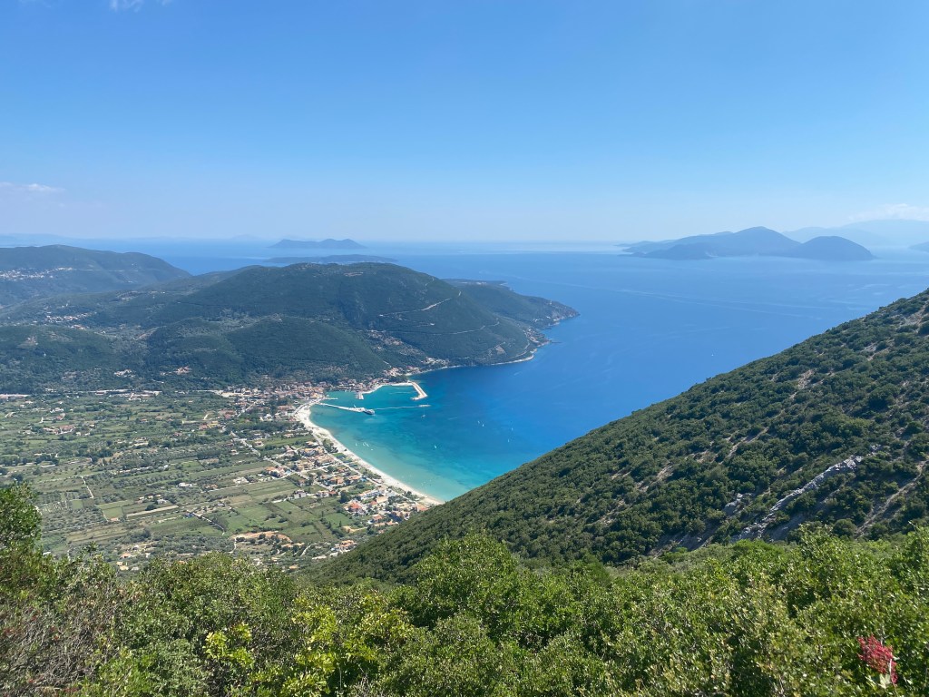
The track runs across the slope and gently climbs. You get great views out over the Vasiliki valley and beyond to the south coast of Lefkada. Vasiliki has a long-held world reputation for windsurfing and you will likely see surfers in action in the bay. The hill you are on generates regular afternoon breezes which, combined with the sheltered flat-waters, makes perfect windsurfing conditions.
The view down to Vasiliki
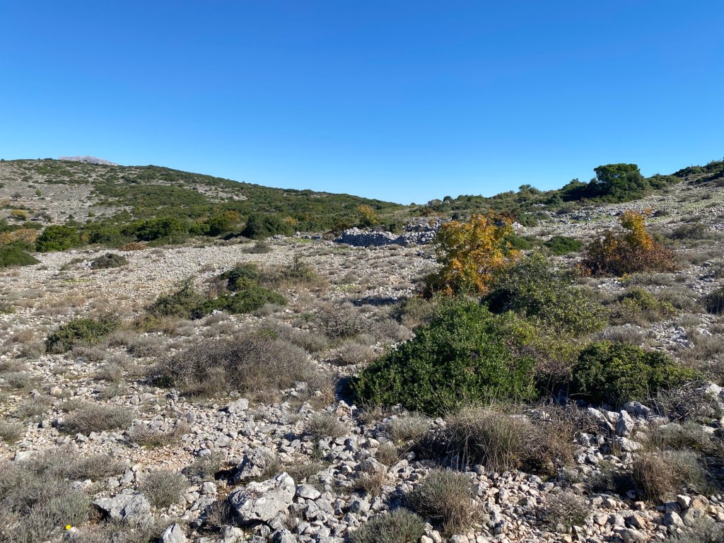
After 3km you pass mobile phone masts to the left then right – ignore the forks left then right to those mast – keep straight between them. You then curve right up to the pass between Kouforpodi and Mega Vouno. After you go over the pass (just before a concrete rain-collection tank) you get to a very muddled crossroads with paths going everywhere. You want a clear track going left along the ridge south.
The track heading south just after turning left at the muddled crossroads
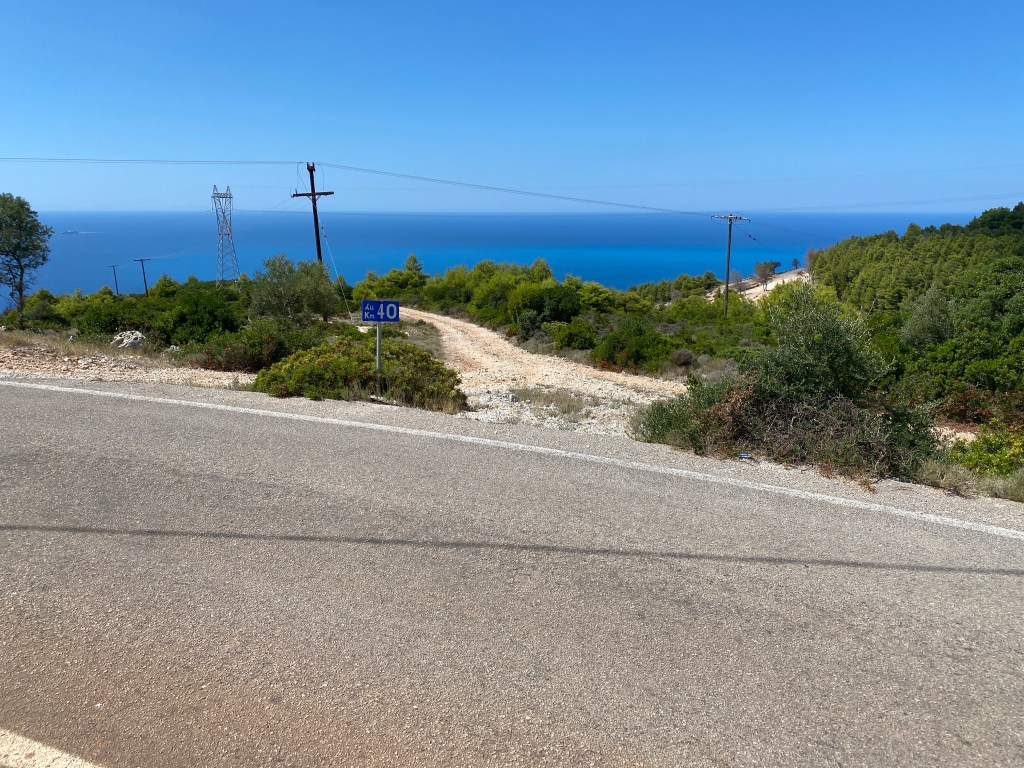
The track now follows below the ridge line as you head south. You get great views down the steep fir covered steep slopes to the west coast of Lefkada. After 4.5km you descend to a tarmac road. Turn left along the road. Almost immediately there is a summer-only kiosk selling drinks and snacks. Past this after 400m there is track heading right down the slope. There is a “40km” sign right beside the turning (but not 40km for this trail).
Turn right down the track at the 40km sign
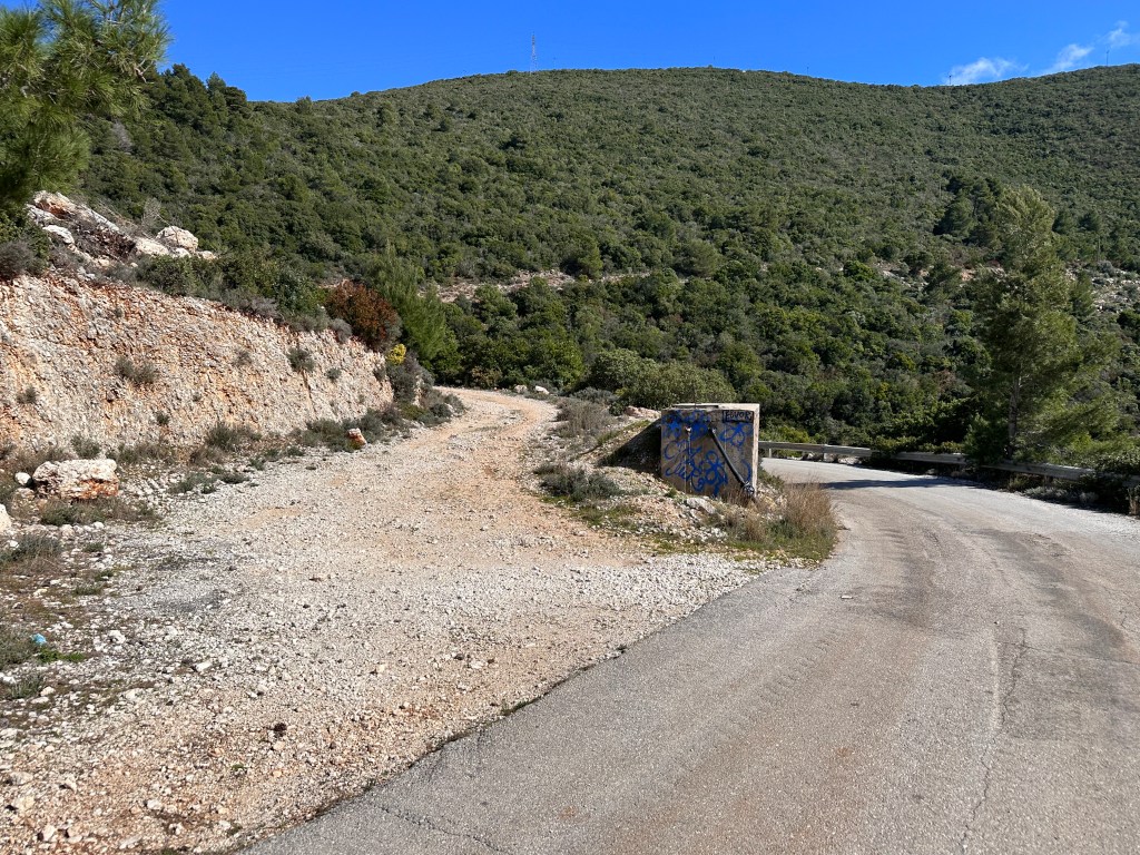
The trail descends down the hill. Keep straight on at all turnings keep heading south and down along the coast. After about 1.5km you reach a track turning sharp right just above a new cluster of small villas. Take that track down past the villas to a road.
Turn sharp left to the track descending down and past some new small villas.
You meet a tarmac road where you turn left. This road runs to the famous Porto Katsiki beach which attracts quite a few visitors in summer. Fortunately you only go 200m.
Turn left onto the track just before the concrete water tank.
The road goes round a corner to the left where a track goes left just before a concrete water tank. Take the track that slowly climbs up across the hill round the top of the bay towards a phone mast near the top.
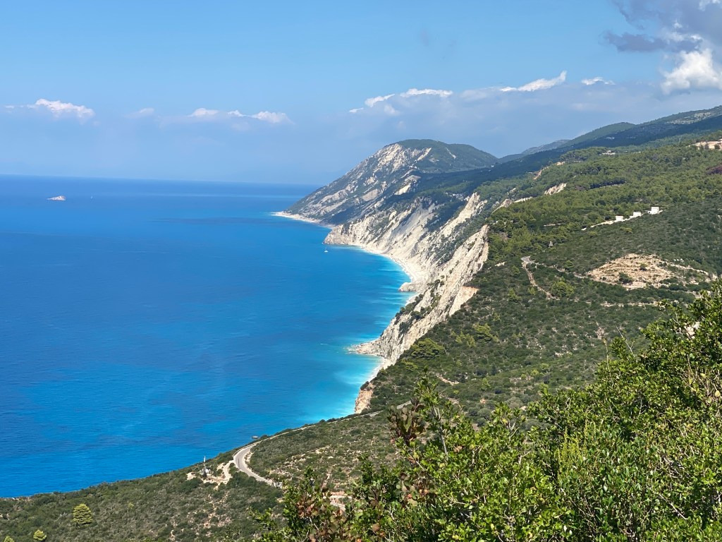
The cliffs, turquiose sea and beaches of the west coast of Lefkada
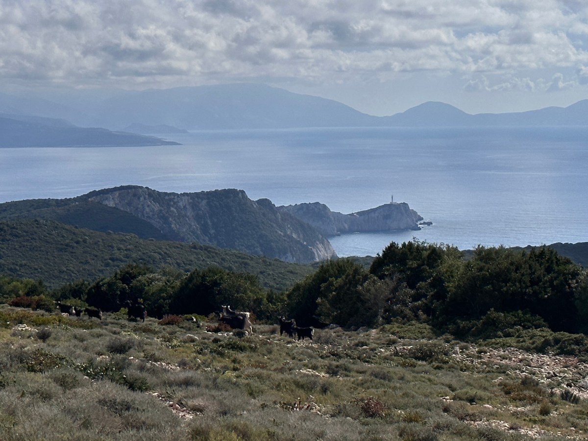
When you reach the phone mast take a look back for a great view of the west coast of Lefkada – with its white cliffs cascading down to turquoise seas and golden beaches. Turn back south along the track another 50m for the opposite view south. Now you see your destination with the lighthouse at Cape Doukato with Ithaca and Kefalonia beyond.
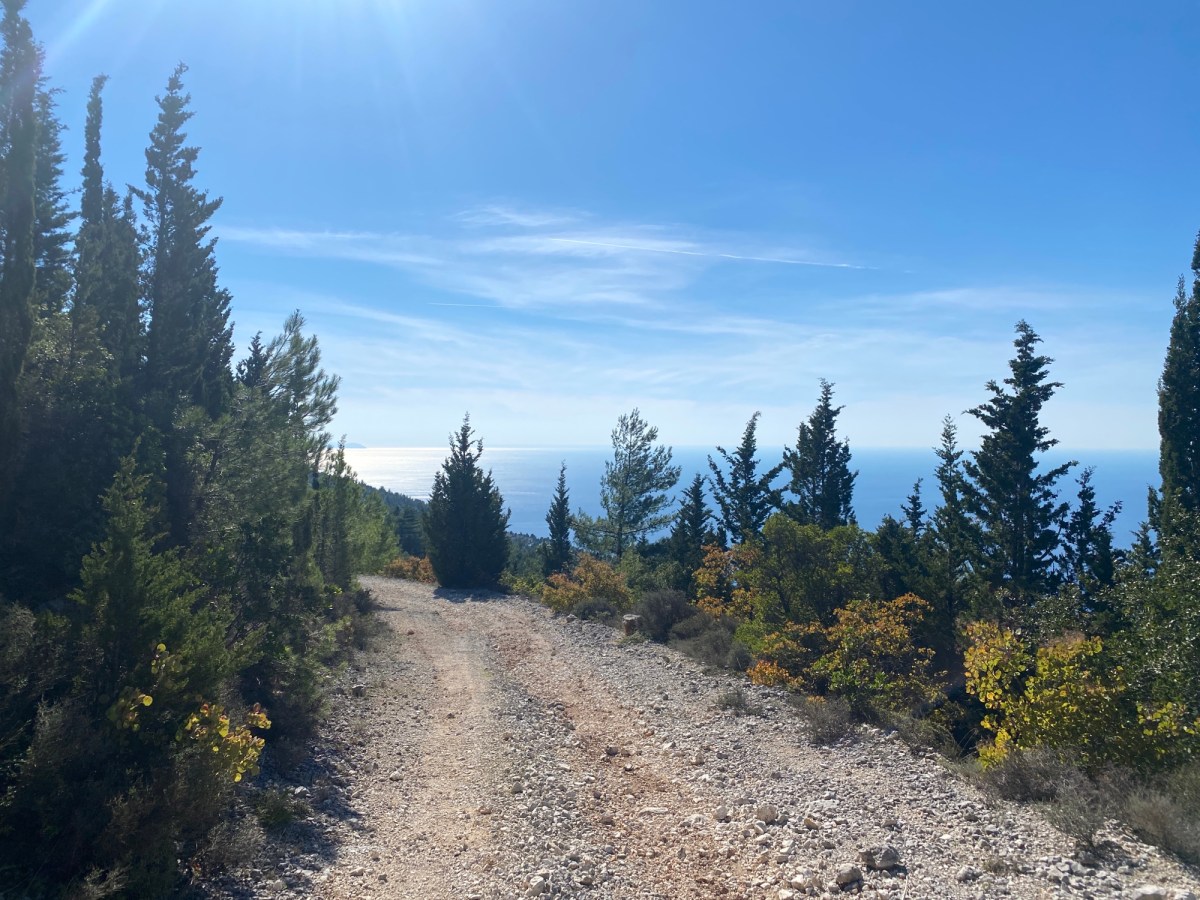
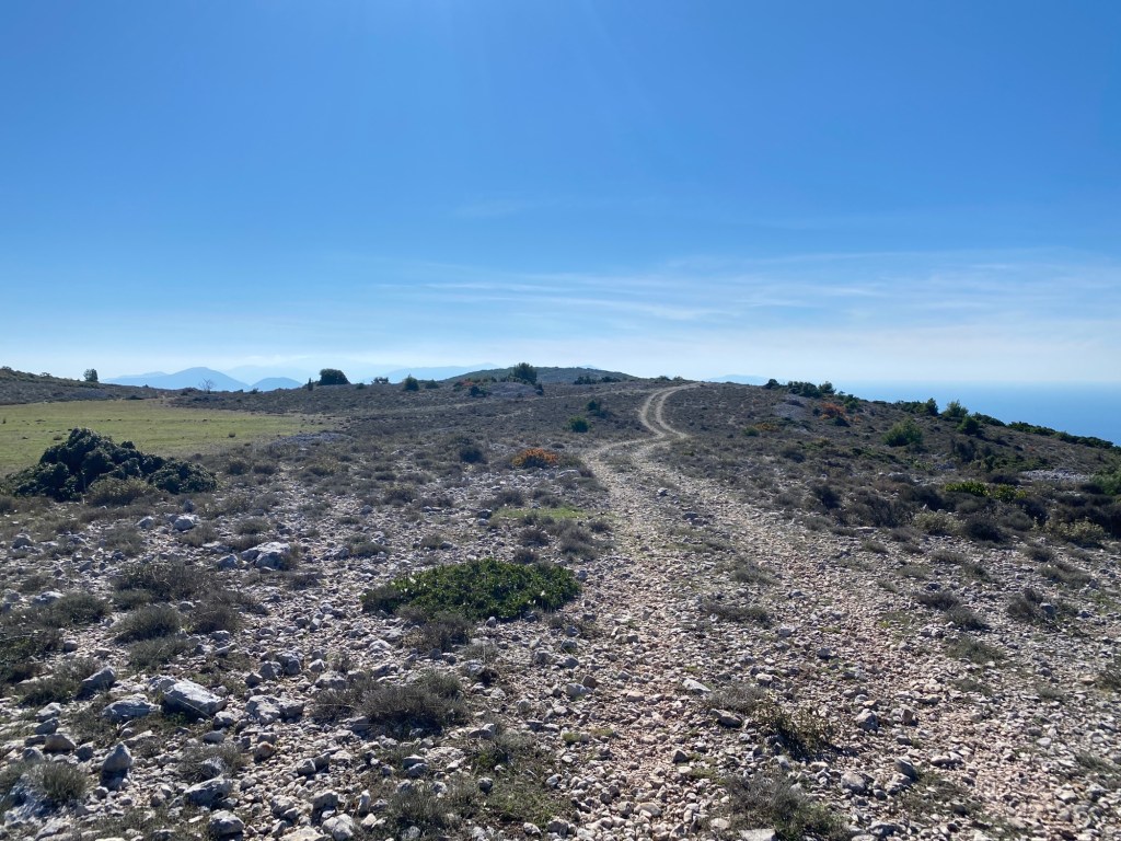
The last 5km ahead down to the cape and the end of the trail
Take the short track right to join the tarmac road going right. After 50m the road hairpins to the left and a path takes a shortcut right to join the road again and the next hairpin further down the slope. You now rejoin the road and almost immediately take a turning right towards the cape.
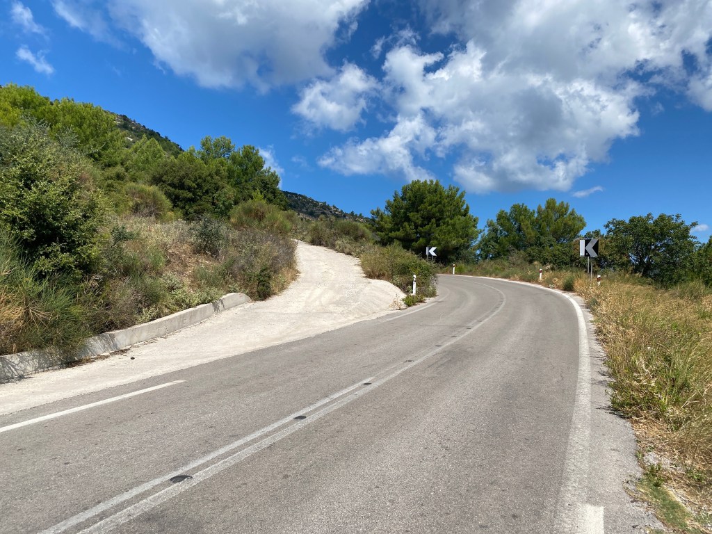
You now follow the road for 5km to the cape. The long tail of the island is very narrow (almost a knife edge in parts) and so only really room for the road. The views are stunning to compensate. Keep one eye watching for cars heading for the cape.
The knife edge road approaches the lighthouse on the cape
Just before you reach the lighthouse car park a track goes off to the left running below and parallel to the road. That track continues past the car park and continues the last few hundred metres over the rocks to the cape itself. If you miss the left turn take the track at the end of the car park and scramble left down to the track before it gets to the cape.
The white cliffs of the cape have been a landmark (or rather seamark) for centuries. They showed the way as boats headed too or from Italy and Sicily. “Lefkas” is greek for “white”, and so likely gave the island its name. A temple to Apollo once stood here, now just a few rocks left. It was said that Zeus used to rest here between his many love affairs. This lead to the belief that throwing oneself from the cliff would “cure” unwanted love. The goddess Aphrodite and the poet Sappho both attempted the feat. Neither survived, so in some senses it worked. Not recommended though.
The end of the trail at Doukato Point
Sit down. Have a celebratory drink / chocolate bar / cheese pie – whatever you have. Take in the view across the sea and also consider what you have seen and achieved over the last six days. Well done, you join the roll call of the Lefkada Trail veterans.
Best plan is to arrange for a friend, partner or taxi to collect you from the lighthouse car park. Take a look at the lighthouse and the impressive cliffs to the west of the cape as you wait for the lift. If uber fit you could walk back to Vasiliki sticking to the road – or back to Porto Katsiki beach to pick up an infrequent bus. But I think you have earnt a taxi.
Do tell us about it on Instagram @lefkadatrailsor Facebook. We will use your experience to help improve this website and guide future trail walkers. Not only that, but the early pioneer walkers of the whole trail that tell us online will get free T shirts.
Free T shirt for the early walkers of the whole trail
Circular walk up through pine forests and up over the limestone hills of south west Lefkada. Starts in the village of Athani just above many of the most famous beaches of this part of Lefkada. Great for a walk followed by a freshing dip – or just a drink in the Athani tavernas.
Start from the centre of Athani off the short one-way section (towards Lefkada Town). If you are coming from Lefkada Town take the one-way section and then double back left up the steep hill. Park on your right at the top. The trail starts up the road to the right signposted to Serenity Boutique Hotel. Follow up the road (past the hotel). It turns to a concrete surface and then reaches a T junction where it turns to an unsurfaced track. Take the right track (essentially straight on). You will return to this junction at the end of the walk. If you have a small car you can drive up from Athani and park here saving part of the climb.
The T junction where the road becomes unsurfaced. The trail goes right and you will return down the track to the left.
Climb the track steadily climbing up through the pine forest. You get glimpses down to the southern tip of Lefkada and Kefalonia beyond. Eventually you reach a rather ugly ruined block building on your left with a large stony scree coming down the hill. Turn left and ascend directly up the scree.
The ugly ruined block building with scree up to the left.
Pick your way up through the scree. It isn’t hard but take care. This is the roughest part of the walk. Keep left towards the top as the scree ends (hurrah) and becomes a good path. Keep diagonally left up the hillside towards the pass/dip up on the skyline. The path is blocked by bushes in parts which need to be circumvented either below or above the path.
Ascend leftwards up the slope to the dip on the left side of the skyline.
As you come over the top of the ridge you see an old stone ruin off to the right. Keep going left towards a track you can see on the slope beyond.
The ruin as you come over the top of the ridge.
Keep heading towards an unsurfaced track going up the hill. When you reach it turn right and take the track to its end at the top of the hill.
The track over the hill looking back south.
The track ends at the top of the hill and becomes an indistinct path. The route continues along the back of the broad ridge. The path is over gravel hillside with small thyme and heather clumps. It is easy going but sometimes hard to find the path – although there are many goat tracks so easy to keep heading North. Keep going towards the north and towards a solar panel array in the distance. The views here are wonderful both towards the craggy slopes of Stavrotas and the occasional glimpse south west down to the Vasiliki valley.
The path along the ridge with views towards the craggy slopes of Stavrotas
Before you reach the solar panels there is an unsurfaced track going sharp left down the slope. The track descends across a high meadow and past a corrugated-iron animal shelter until it reaches a T junction with another track. Turn left down this track. If you go too far and reach the solar panels you can pick up this second track from there and get back to this trail.
The track you descend looking back at the meadow.
After about a kilometre down the track there is a junction where you need to turn sharp right. This rightward track is hard to spot at first as the track has fir trees growing in the middle and make it hard to find until you are well on to the track. This track turn left and becomes more distinct. It reaches another T junction with a better defined unsurfaced track. Turn left and continue down through the fir trees.
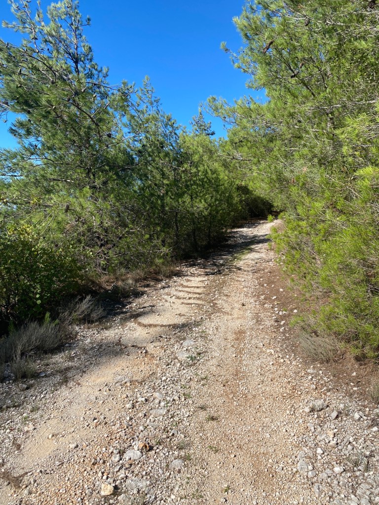
The trail runs down a track with wonderful firs on both sides.
Eventually you reach the junction with the top of the surfaced road back down right towards Athani. Descend the short distance back into the village (unless you parked at the junction on the way up).
Athani is a wonderful village with tavernas and cafes. It is also close to Gialos Beach down the very steep hairpin road – but with a wonderful beach and swimming as a reward for the brave driver.