Get the best of two worlds with this loop around a mountain on Meganisi island, starting high level with sweeping views, then back along the coast with coves and beaches. Starts and ends at the port where ferries arrive from Lefkada. Get a morning ferry over, do this walk, and take the late afternoon ferry back to Lefkada. Make sure you leave time for a swim and a fish supper, whilst waiting for the ferry back.
The walk is quite long but along easy tracks and then a road. As always take lots of water. Also your swimming clothes and a towel. It is possible to shorten the walk back, bypassing the walk along the coast. The trail is suitable for a mountain bike, and bikes can be rented in Nidri and Spartochori.
Take the ferry across to Meganisi from Nidri. It runs a few times a day with enough time between morning and later afternoon crossings to do this hike.
Tavernas in Spilia, the Meganisi ferry port. Accommodation and tavernas in Spartochori.
The route starts from Spilia port on Meganisi island where the ferry docks from Lefkada. The ferry runs from Nidri, most of the year three to five times a day – usually with morning and late afternoon ferries. It takes just 20 minutes and is very cheap for foot passengers. Just walk on and pay on board, no need to book. > Check online for the timetables that change every month. There are tavernas in both ports so easy if you have time to kill.
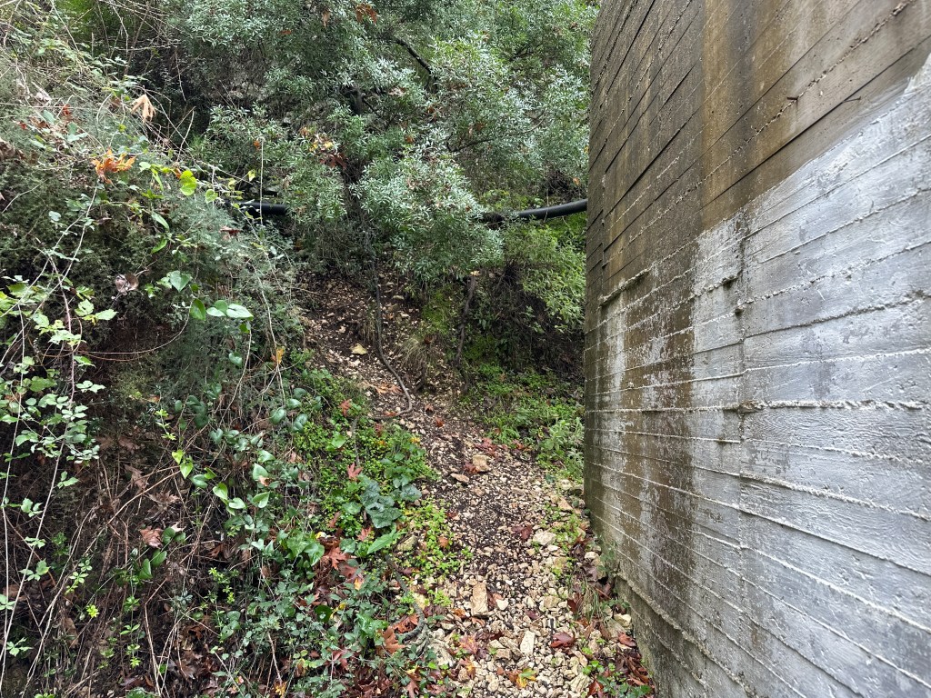
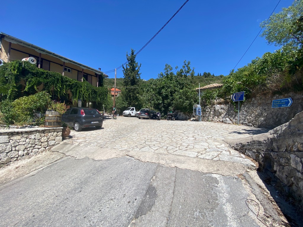
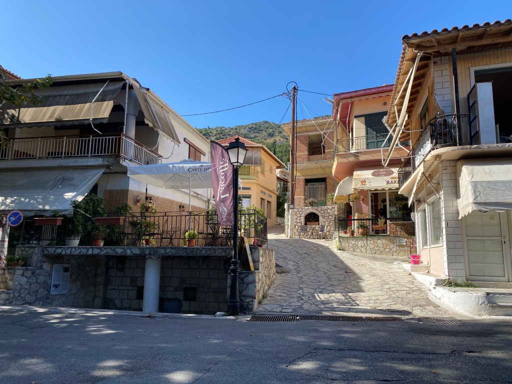
When you come off the ferry, head left on the road as it runs around the bay and starts to climb. After 300m there are some steps on the right that takes a shortcut across the zig-zags of the road. There are then another set of steps doing the same further up. You end up, either by road or steps, in a little square in the village of Spartochori, with great views back to Lefkada.

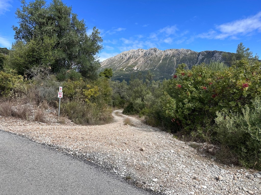
Take the road going up from the square, take the first fork right, then the second left until you reach the main road running through Spartochori with a few shops. Go left along the main road to a T junction where you go left then immediately right. Keep going straight on to a fork by a builders yard where you go right on the smaller road.

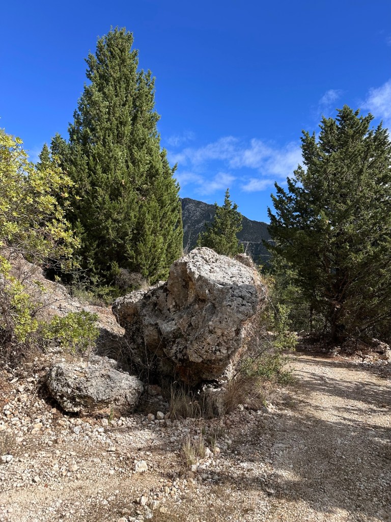
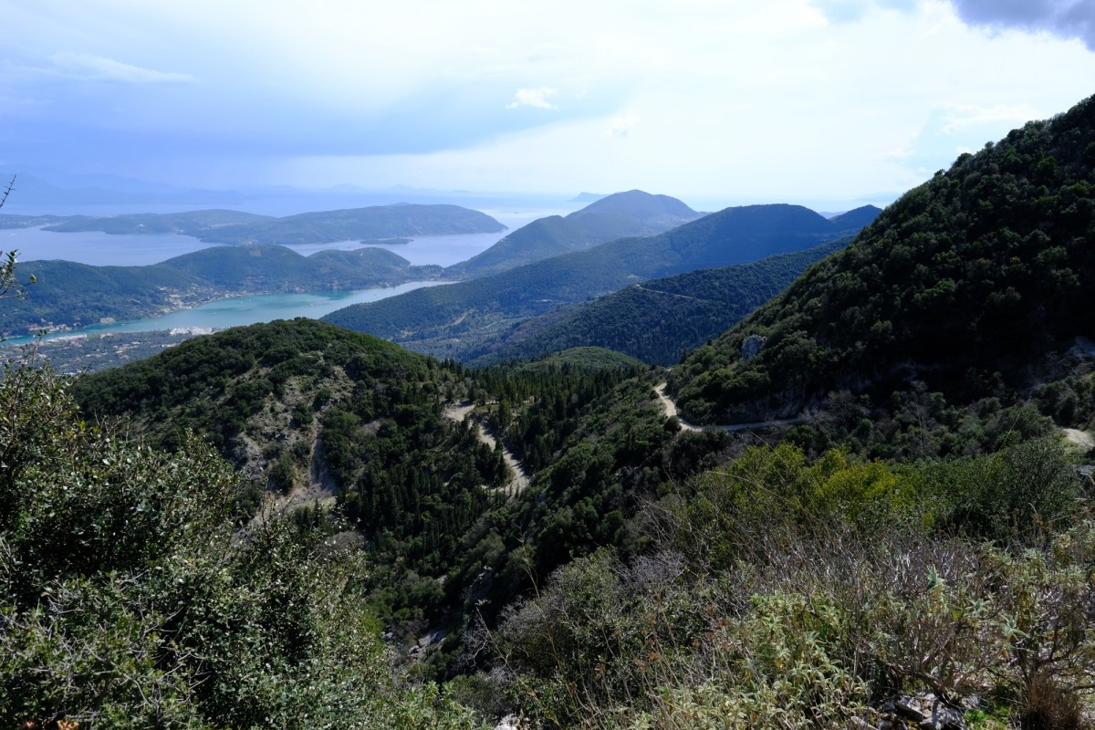
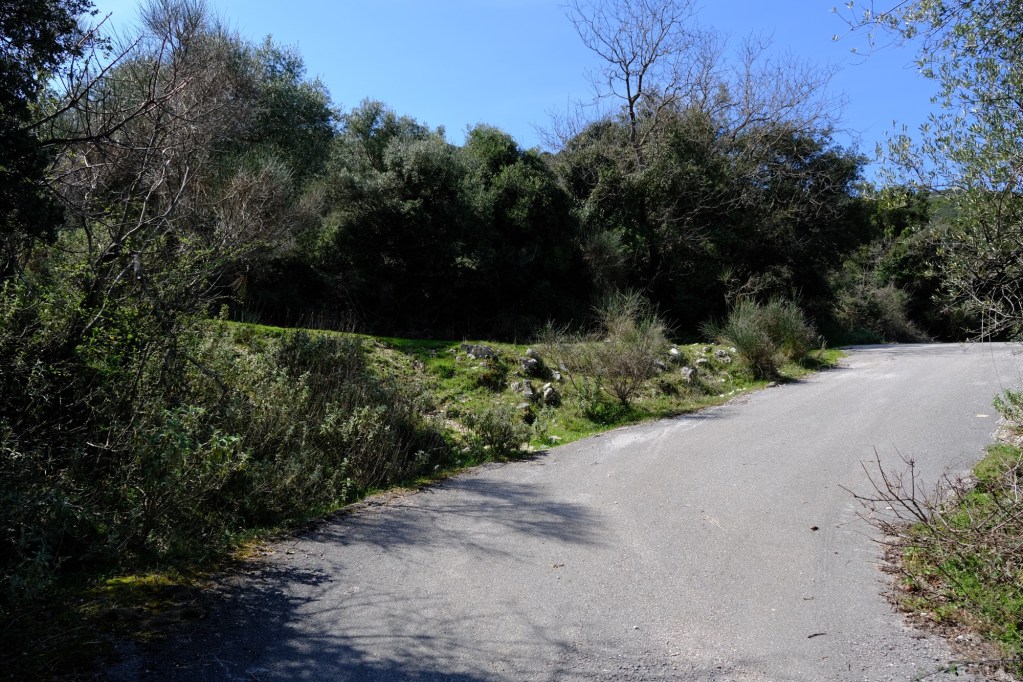
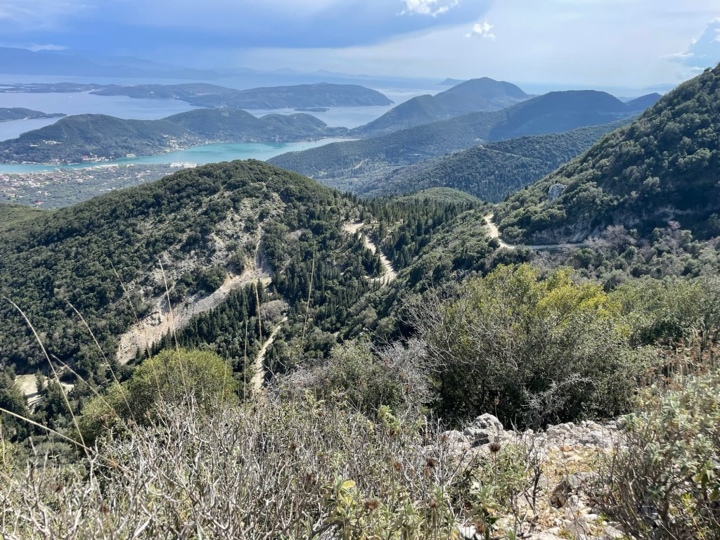
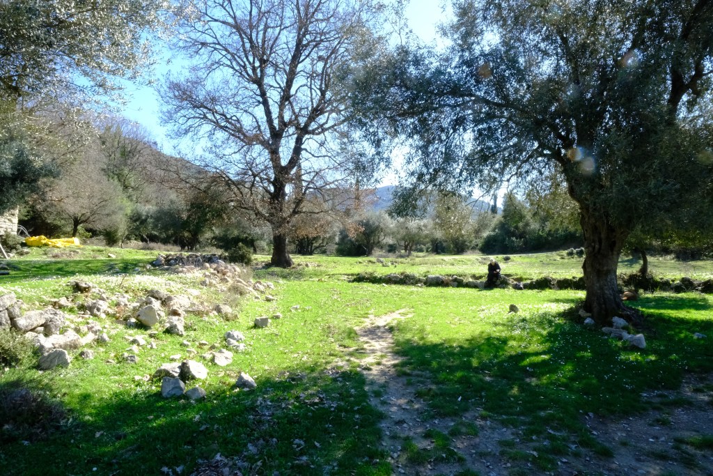
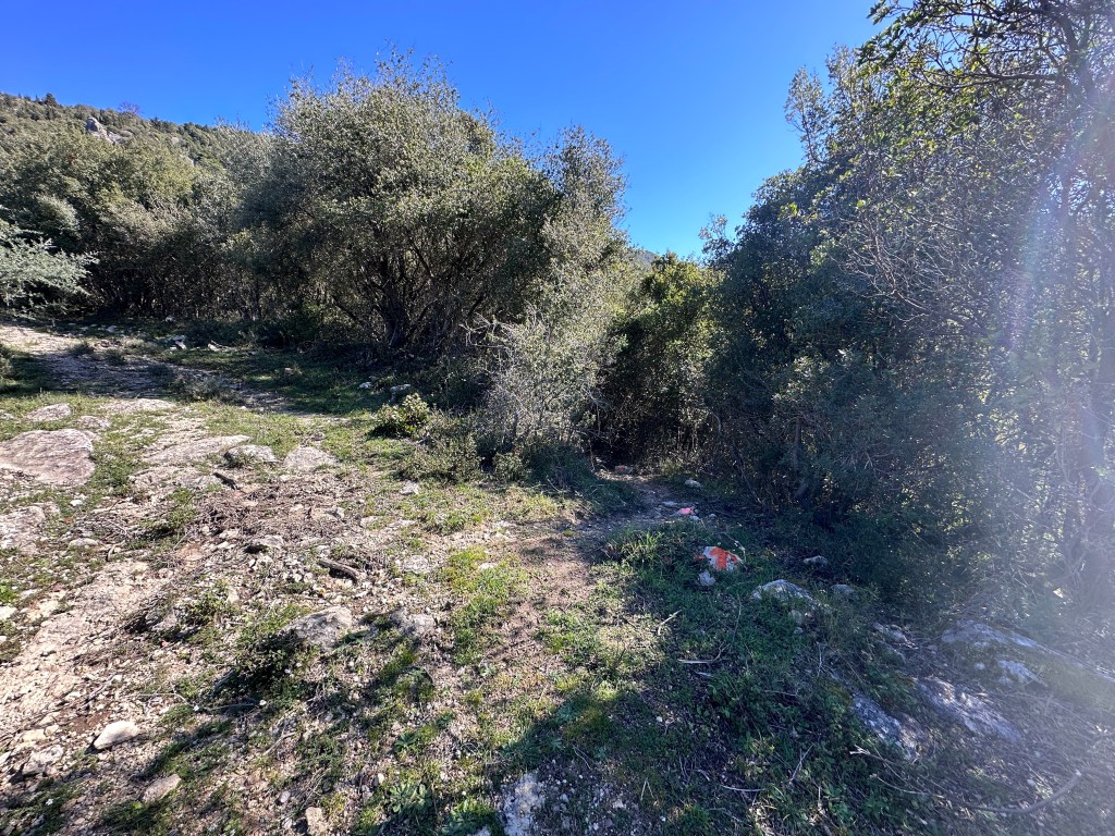
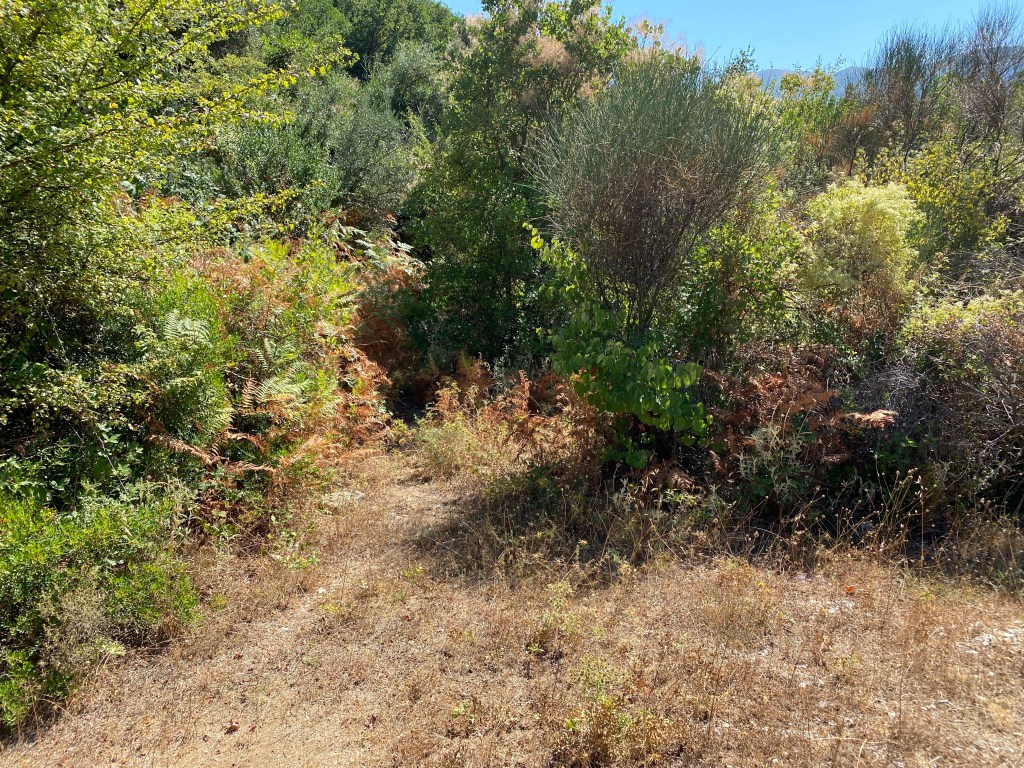
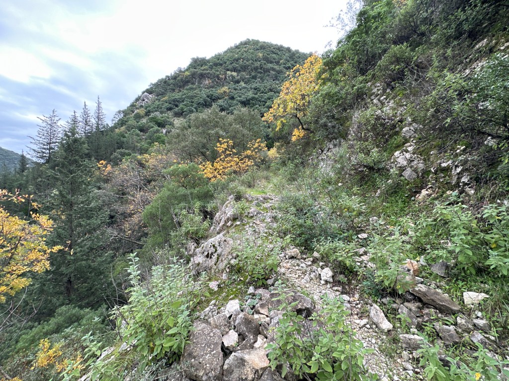
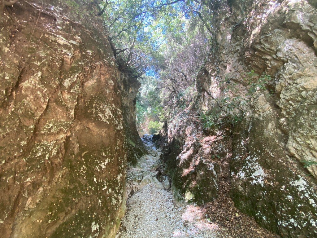
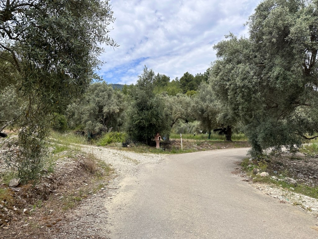
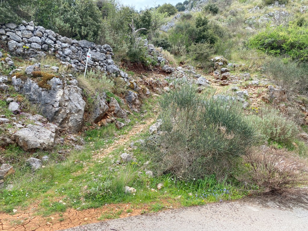
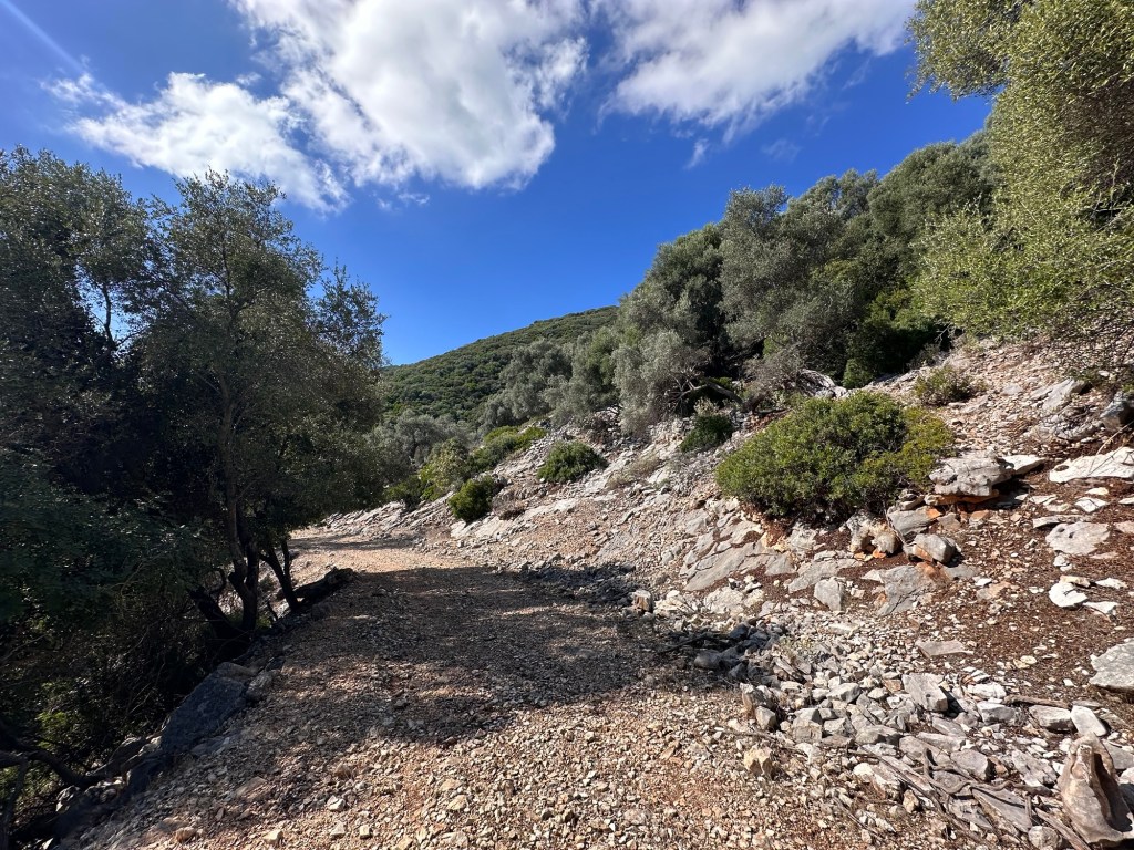
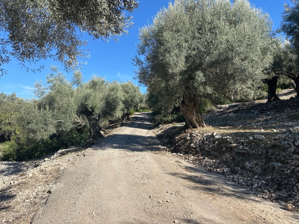
Keep going straight on and forking right, and the small road becomes a track, leaving Spartochori behind. The track runs for 3km down the eastern side of Meganisi, high up on the hill. You climb up further and both the track and the views get better and better. You run through ancient olive groves within water shaped limestone rocks. You get views first north over the mainland, then south east towards the Corinth Gulf, then south down the long tail of Meganisi. This part of the walk is stunning. Part way there is a metal gate across the road. It is easy to untie the rope and open – make sure you close and retie, it keeps animals in.
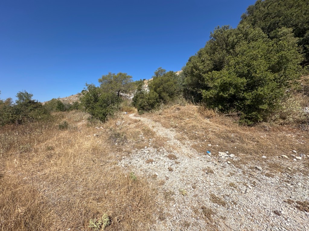
Shortly after passing the southmost point you pass the track that runs down the long tail of the island. This trail does not go that way as it is only there and back and about 7km each way. Feel free to divert if you are uber fit, otherwise continue on the track as it turns back north.
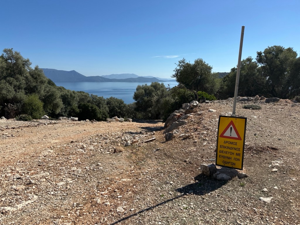
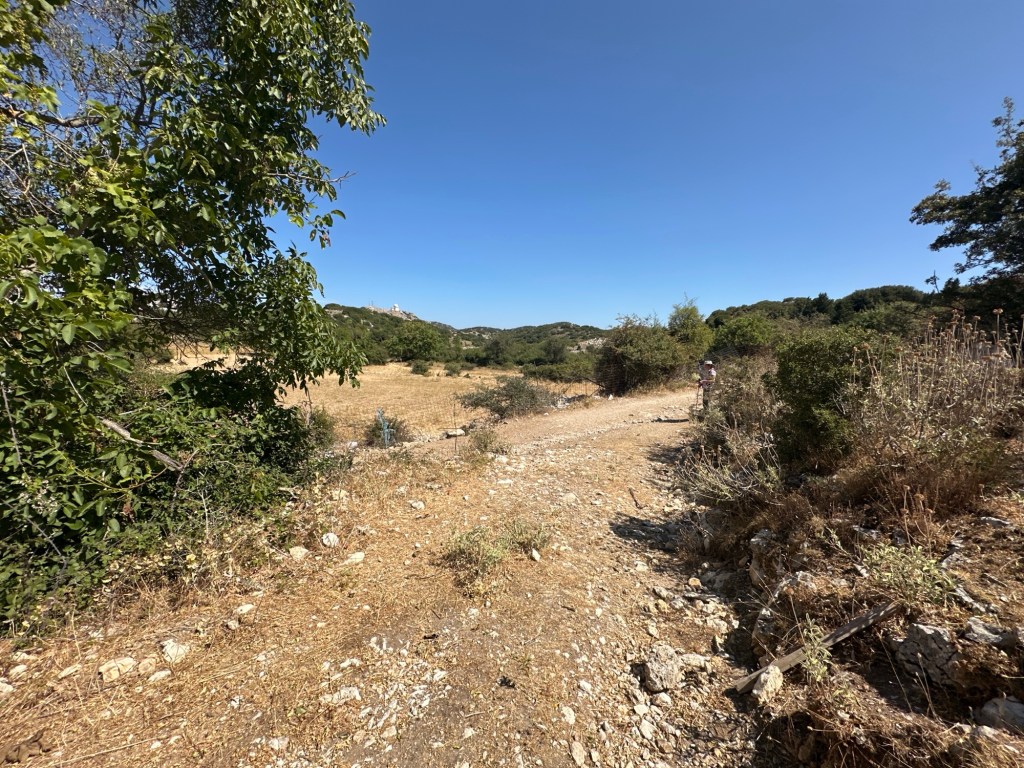
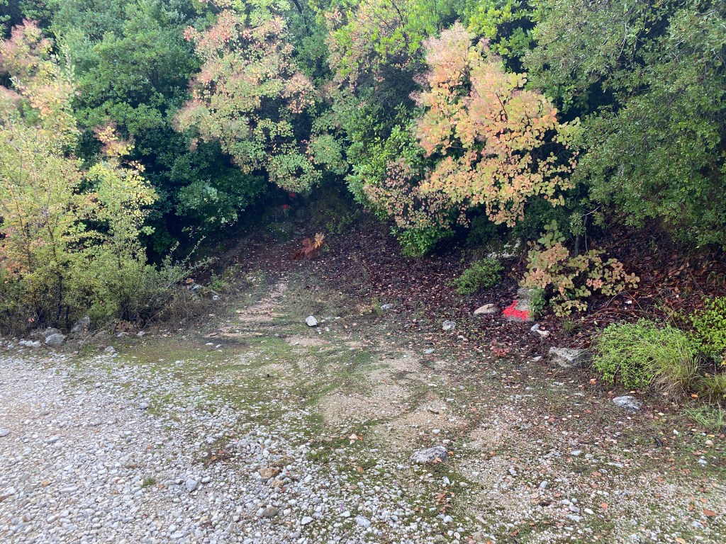
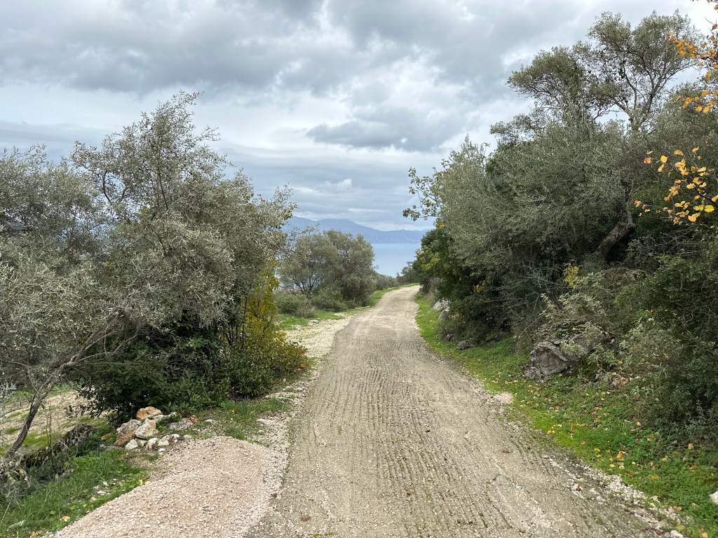
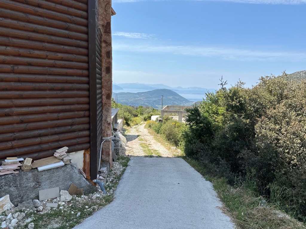
On the west side of the island you run into increasing signs of villa building projects. Unfortunately, this rather detracts from the ambience for a short section. After 1km you get to a fork where the road going left is new tarmac and the right track climbs up. We are going to go left to get down to the coast road, but the right fork is a track going straight back to Spartochori making a shortcut back to the ferry.
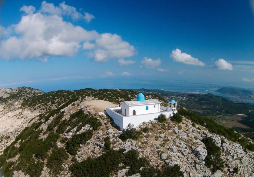
Walk left along the new road for 1.3km until you get to a road junction. Go left down the hill (if you go right it is a second shortcut to Spartochori along a road). After a few zig-zags down you reach the sea near a pretty church, a coffee bar and a pebbly beach. When you are ready take the road going right along the coast.

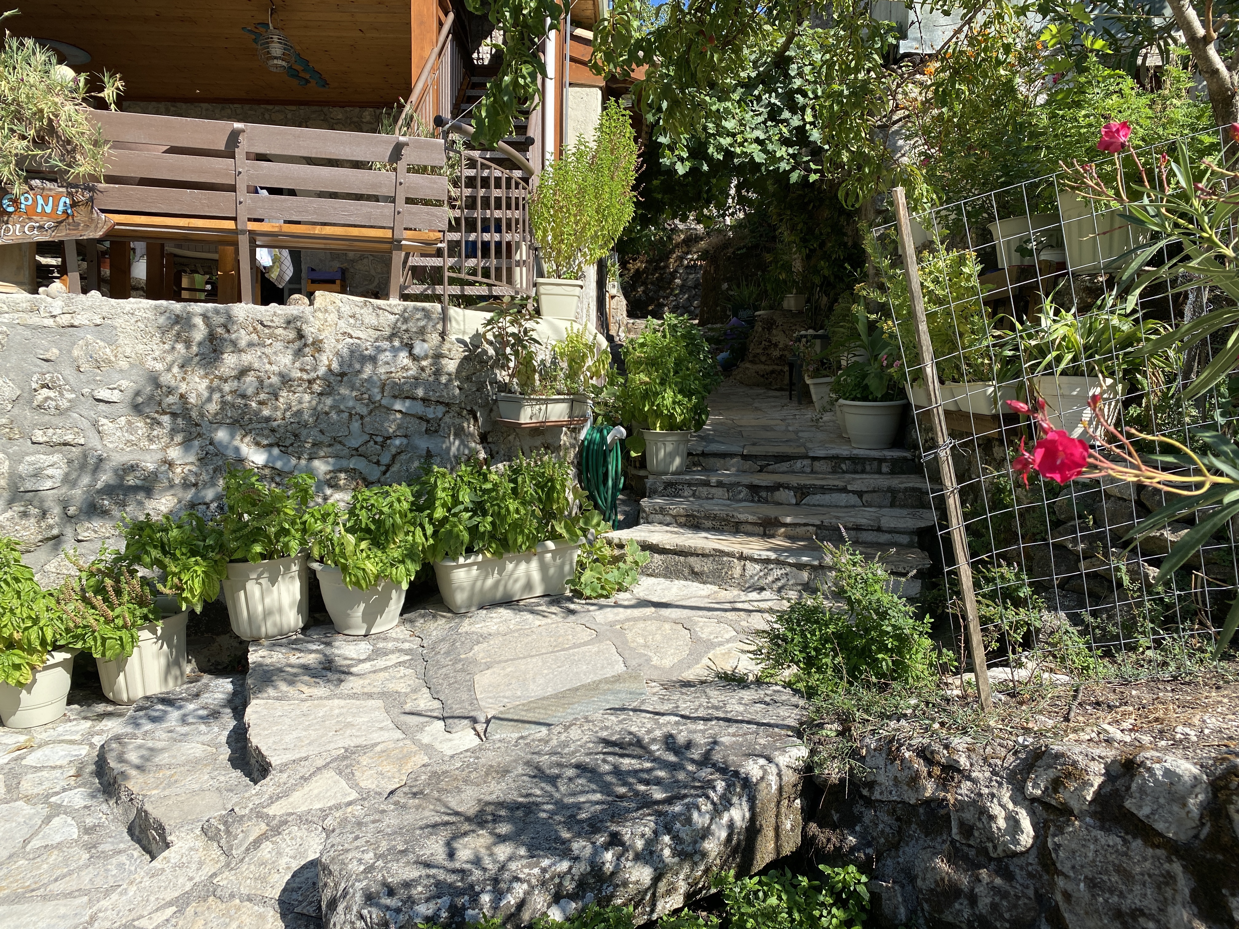
You follow this coast road now right back to the ferry, 4km. It passes a series of beaches, big and small, as well as beach bars and small tavernas. They are only open in season, but very nice if so. If you walk out of season then it will be quieter but you need to take your own picnic and drink. Take your pick of wonderful places to swim in the clear waters.
After about 3km you get to the headland just before the ferry port. The road heads inland a little, though with nice trees for shade. There are three short climbs, the last one being the longest (don’t worry you are nearly there). At the top of the last hill the road forks – go left and back down and around to the ferry. If you go right it takes you to Spartochori.
In the bay just past the ferry terminal are several tavernas – all good. A great place to wait for the next ferry. Also a great beach where you can swim safely (marked so boats can’t run you down). Don’t swim where the boats sail or dock.