The Trail of the Three Monopati. Climb up Skaros mountain from the Red Church above Nidri. This routes forms a loop following three classic monopatis. Combined with the views from the top of Skaros it is one of the best medium length trails of eastern Lefkada.
You need a car or taxi to get to the start of the route at the Red Church.
Taverna in Kolyvata.
Make sure you take plenty of water. The trail is reasonably long and challenging. The trail is marked with red-orange markers along most of the route. At times you have to watch for them carefully. Don’t confuse with red lichen rings that can be similar. However, as always, we recommend you follow the GPX trail on your mobile phone.
The trail starts at the Red Church or Monastery of Evangelistria just off the road up from Nidri towards Platistoma and Karya. Park in plenty of space in front of the monastery. With your back to the monastery head left across the lawn to a track starting to climb up through the trees. You soon pick up the trail of orange/red blobs that take you to the top of Skaros.
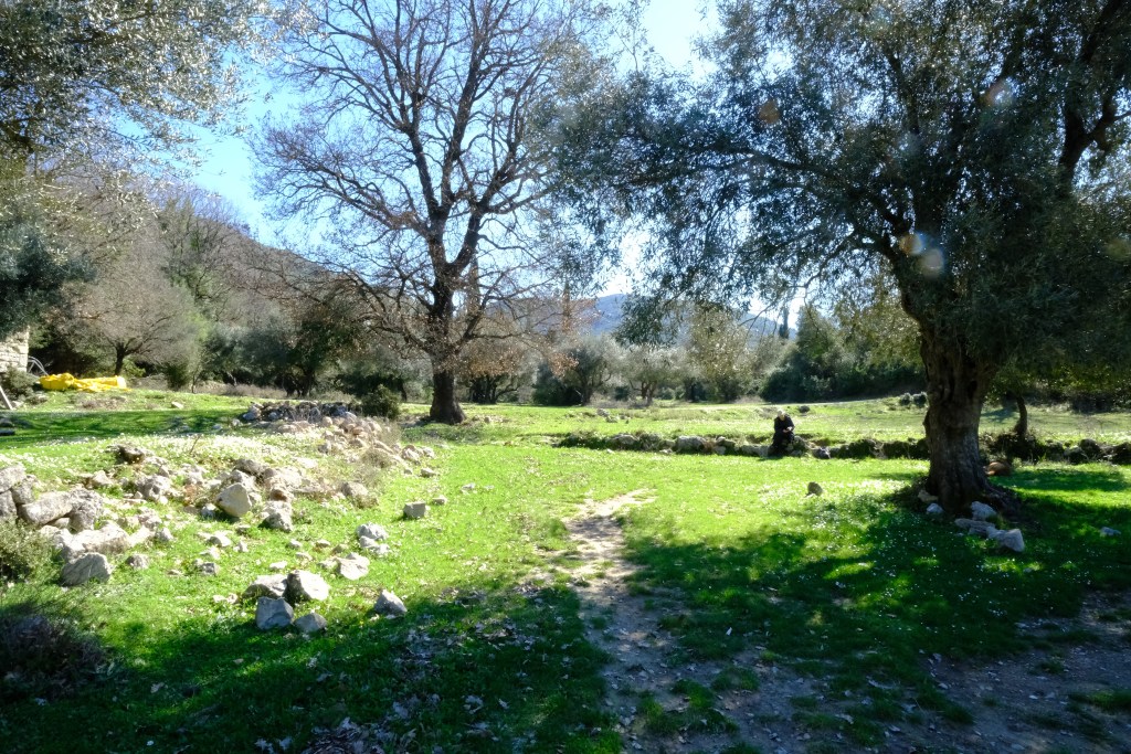
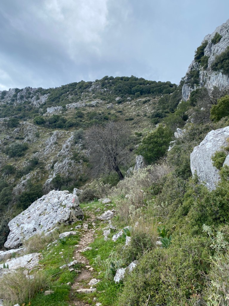
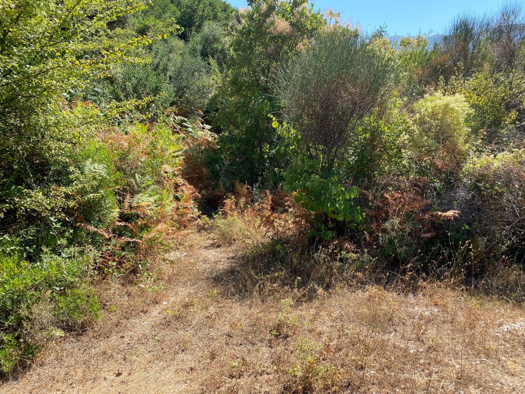
After climbing for 500m as the track forks right and then left you soon come to a monopati heading right just before the track curves left.
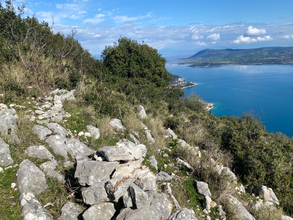
This monopati was recently cleared and restored by the Nikiana mountain runners and it is a beauty. It climbs up along a wall with wonderful shade from the overhanging trees. It crosses a small ravine and then traverses up and across through the trees. Eventually you meet a track where you turn left up the slope. Climb up the track. After 500m the view starts to open out on the right down to Nidri and the Inland Sea.

After almost a further 1km a path goes off right where the track hairpins left beside a wood electricity pole. Take the path up the steep slope up to near the top. Follow the path to the top near the telephone antenna.

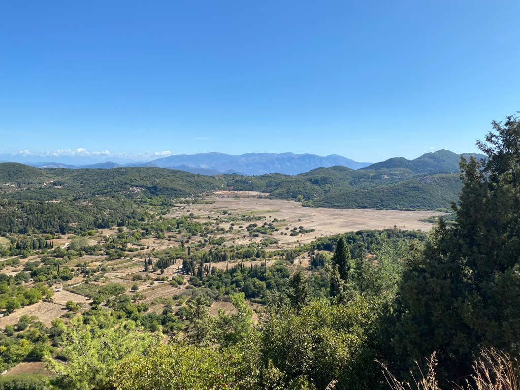
Take a while looking at the wonderful view down the east coast of Lefkada. Stand where Odysseus did. When you are ready, head back down the track behind the masts. After a short distance the trail of orange/red blobs goes off right down a path – do not follow them, rather keep on the track. It joins another track at a T junction where you go right. Follow the wonderful track as it threads between the Skaros peaks and huge oak trees.
The track descends down a concreted section to a high meadow with metal goat huts and tracks heading off right. Ignore the turnings and keep straight on. The track climbs a little until you reach a large orange/red arrow pointing up a path heading into the trees up left.
Take that path and start to follow the orange/red blobs again. The path climbs up and passes over a ridge before dropping down and right down the far side of the hill.

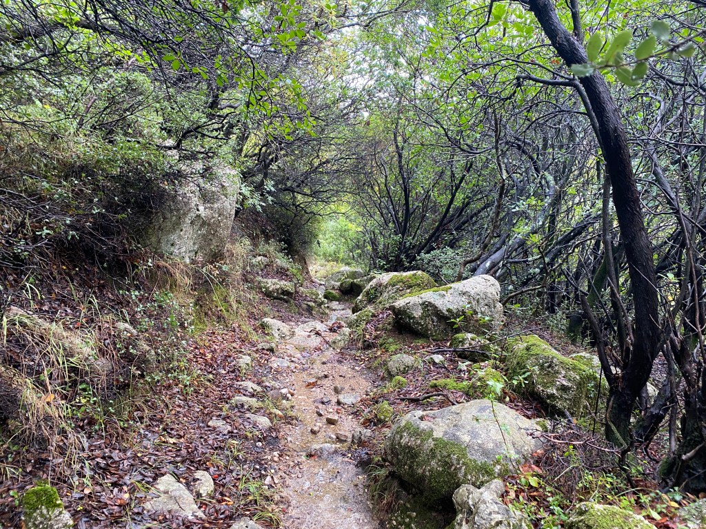
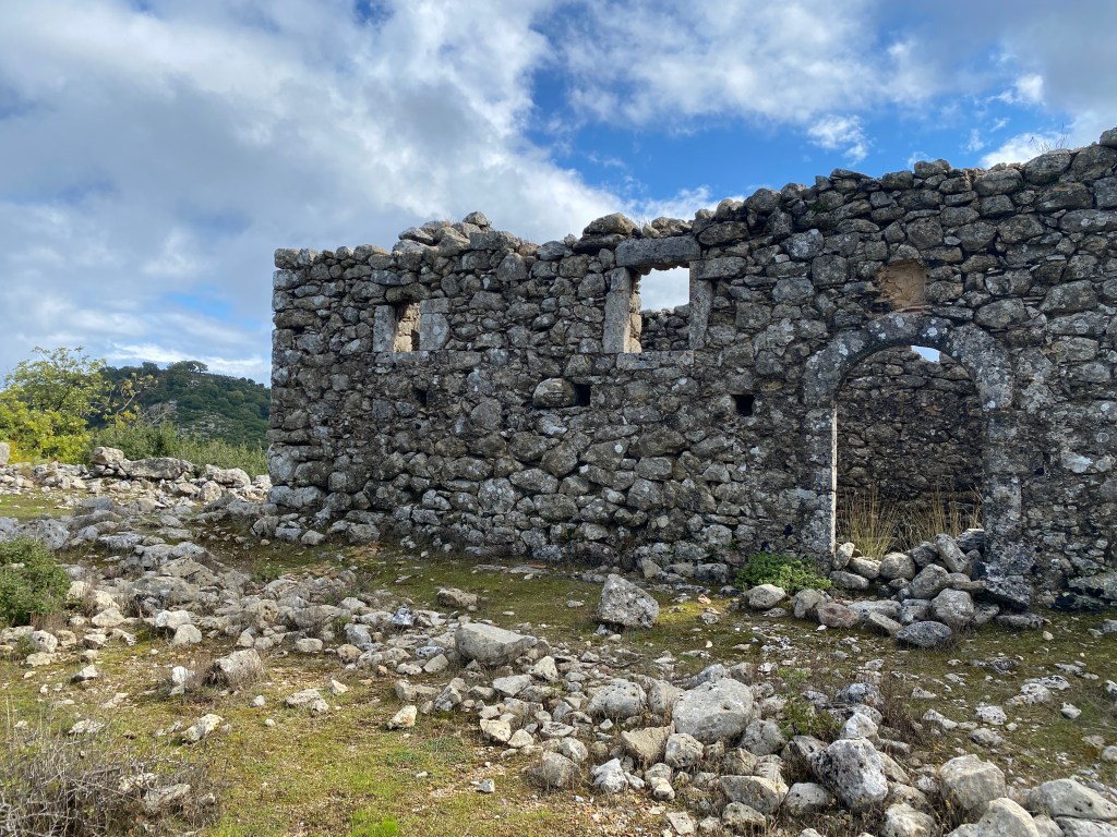
The track descends for 1.5km down a long stone ledge for much of the way. This is the second classic monopati on this route. You get great views ahead of you down to Kolyvata, Alexandros and over to Karya, with Profitas Ilias mountain behind. Eventually you pass a tiny monastery on your left and reach a road. Cross the road and continue on the path on the other side. After 300m you reach a track where you go right down towards a church and then take the track running down the left of the church. Keep straight on down heading into the houses of Kolyvata. The track runs down some stone steps going right and then turns left between two houses down to a road.
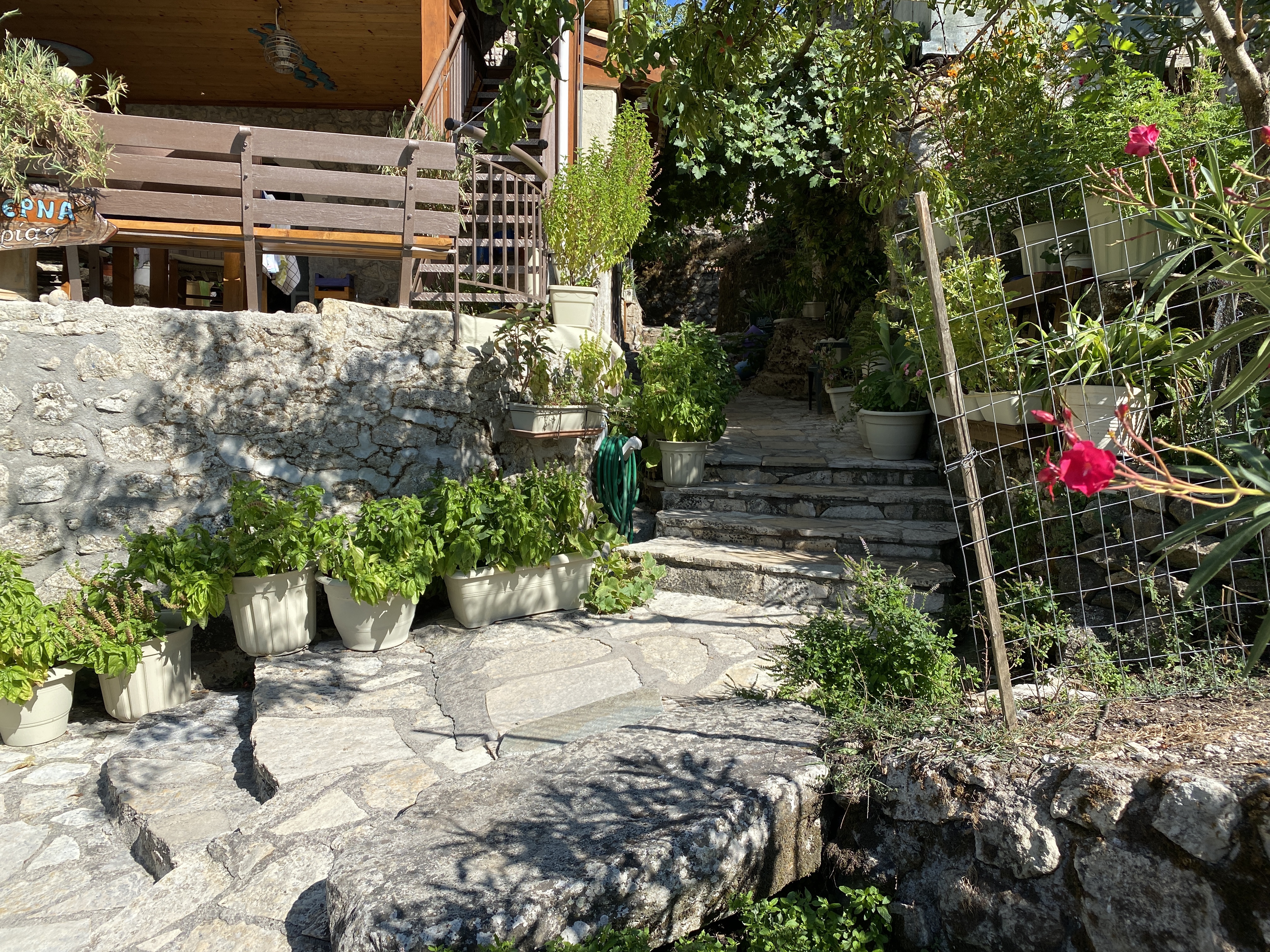
The house on the right is Maria’s Taverna. If open this is a good place to stop for refreshment. If you want food you normally have to phone ahead and book. Maria runs the taverna by herself. If you do eat, the food is delicious.
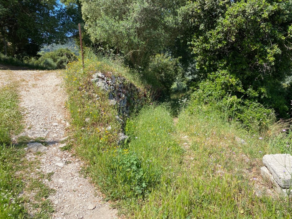
Turn left along the road, past the small parking area, and down the path heading down a ramp straight ahead.

Keep going down and the path soon starts to descend quite steeply into a small ravine. Keep an eye out for the orange/red markers and you won’t get lost. At the bottom you cross the stream and start to climb up more gently though the wonderful pine forest. The path becomes a track.
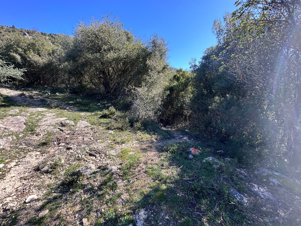
The track turns left twice and starts to head down the left side of a deepening gorge. At a fork turn right and start to descend again. After a while the path narrows. After 200m turn off left into the trees. Watch the red markers. Be careful as I’ve found the markers switched around (joke?). The arrow should point left and the cross should be on straight ahead.
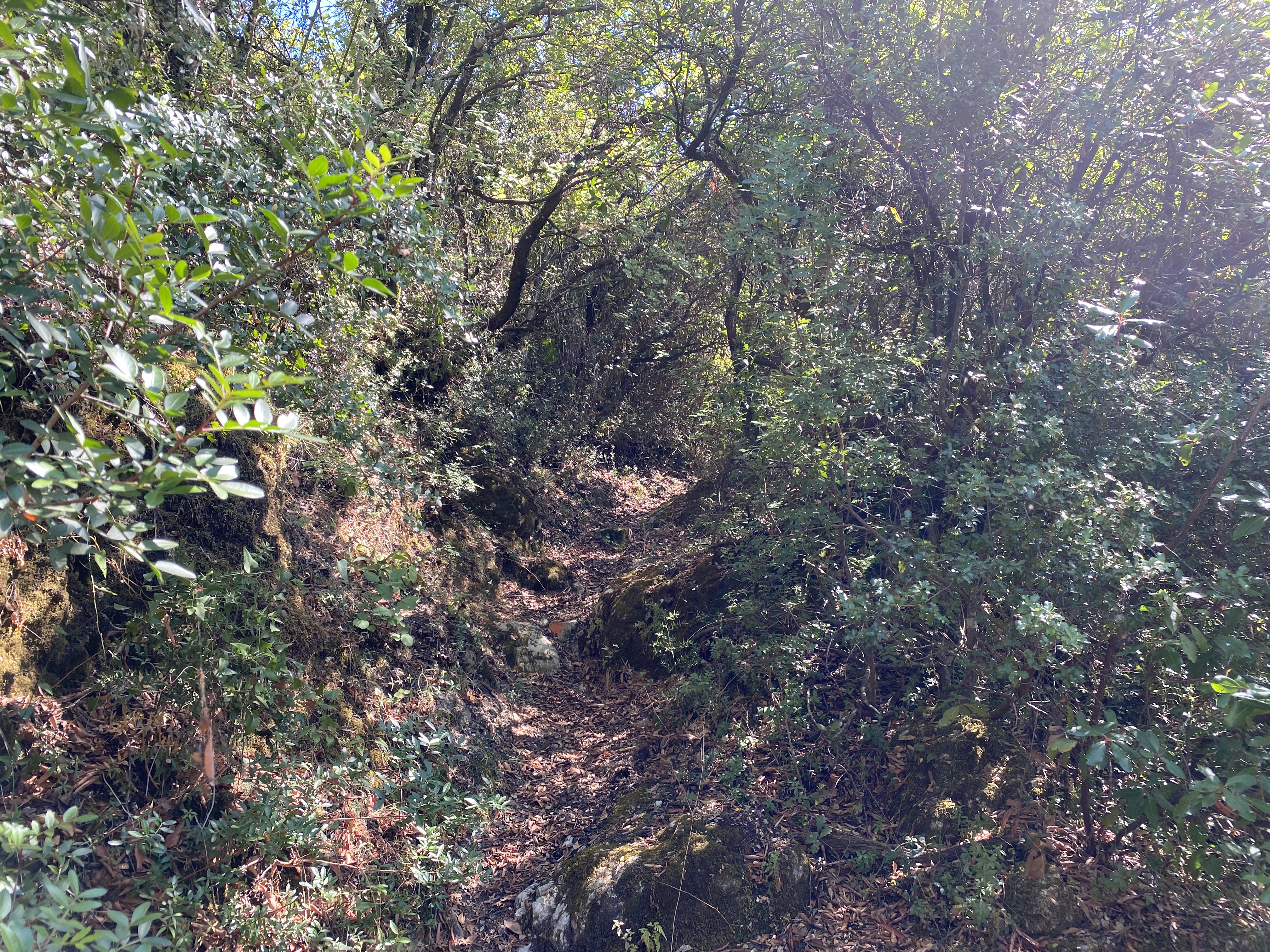
The trail enters a delightful wooded section with the path threading around and under the thickening trees. The third classic monopati runs through the trees with the trees forming a tunnel over the path. An amazing path.
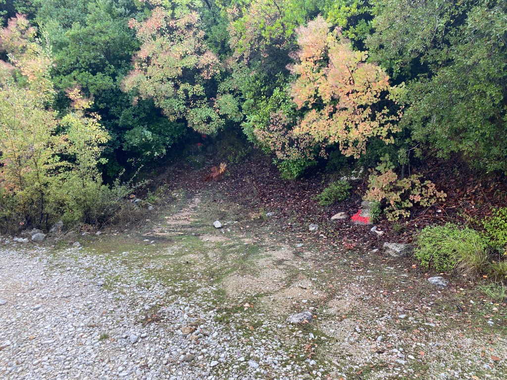
After a descent a similar path joins from the right. Go left and exit the forest. Cross a track and follow the path through to the open area where the Red Church is on your left.
A big shoutout to the Nikiana based Lefkas Trail Run> who cleared all three of these wonderful monopati. Their work keeping Skaros trails open has been consistent over the years. We wouldn’t be able to do this website without them.