Klousouria Gorge loop from Agios Ilias

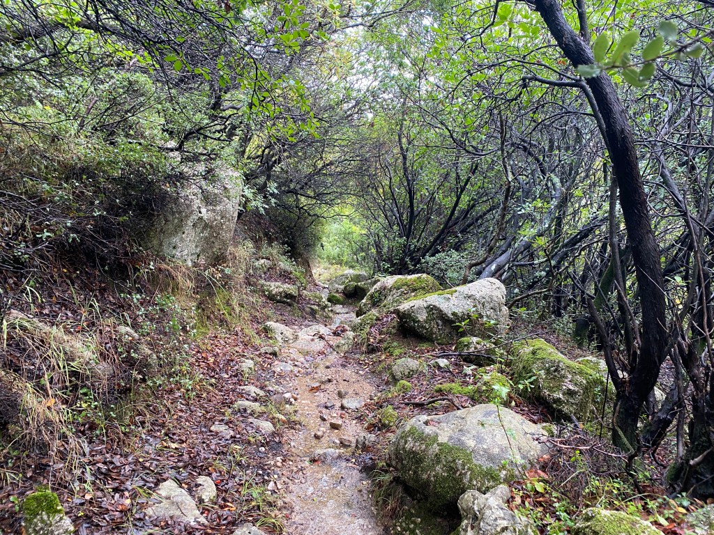
Follow an old monopati down into the Klousouria Gorge below Agios Ilias. Superb old monopati that navigates down past rock pinacles into this impressive gorge. Explore the gorge upstream for a while before following the monopati up the other side and looping back through the forests above Syvros. Runs back up to Ag Ilias by a different route.

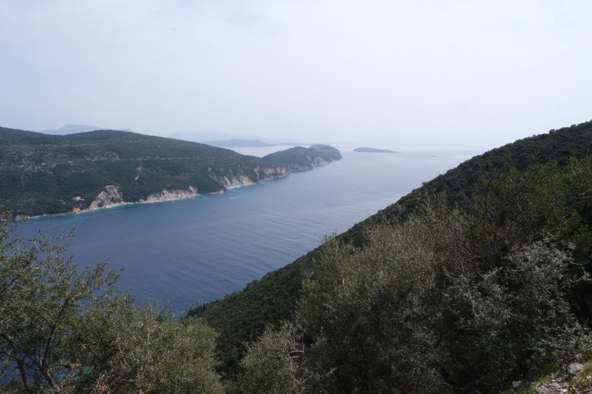
I think this gorge is in some ways more impressive and has better views than the Mellisa Gorge, which appears in more tourist guides to Lefkada. However the steep drops are not fenced off so not as safe with young children.

4.8 km Distance
280 m Ascent
Moderate Grade
Features
Loop Gorge Forest Shaded
Best Season Spring · Summer · Autumn

You ideally need a car or taxi to reach the start of the trail. There is an infrequent bus to Syros from Lefkada town from where you walk up to Agios Ilias

Taverna and limited accomodation in Agios Ilias. More of both in Syvos.

Start off from the taverna in Agios Ilias. Plenty of places to park the car without blocking the road or side tracks. Head up the road following the sign to Eglouvi and Karya.
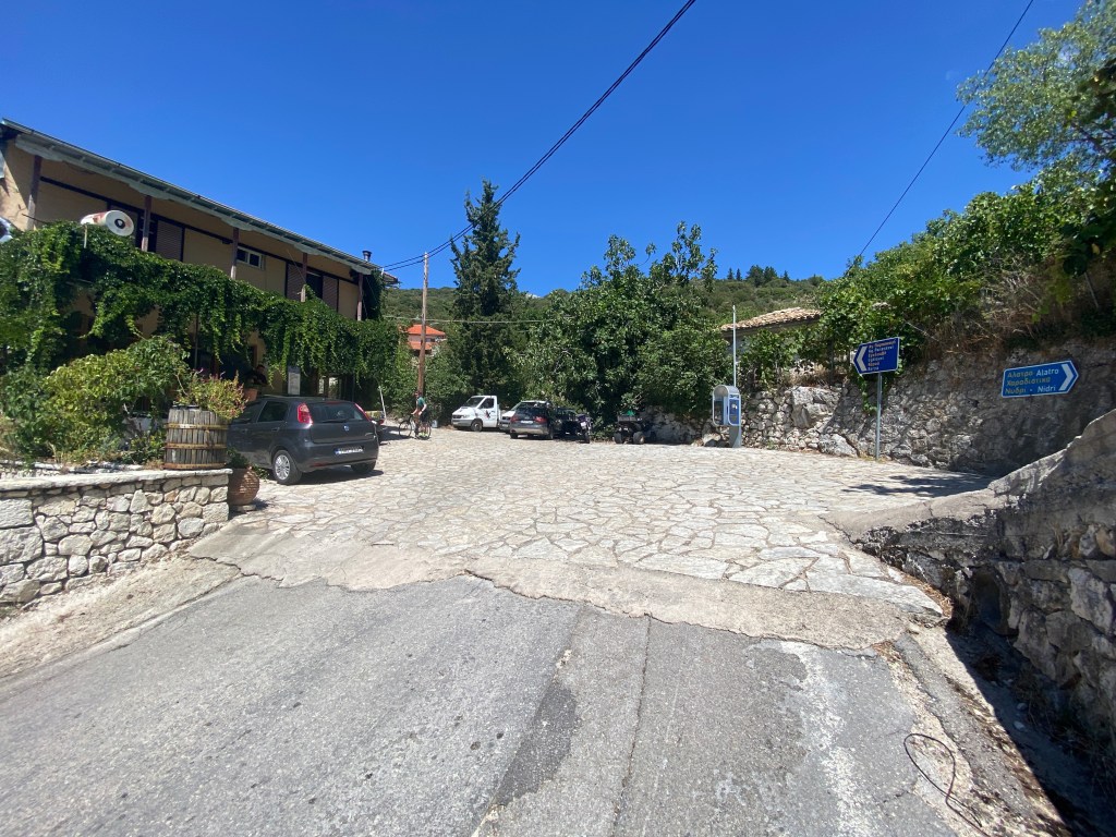
The taverna in Agios Ilias

After a short distance pass a church and monument on the left, go round a bend, and meet a road junction where the road divides into the one-way system to navigate the narrow roads through the village. Take the turning left going against the flow of cars (and so this time NOT the road signposted to Eglouvi and Karya).

Turn left to walk the wrong way up the one-way road for cars

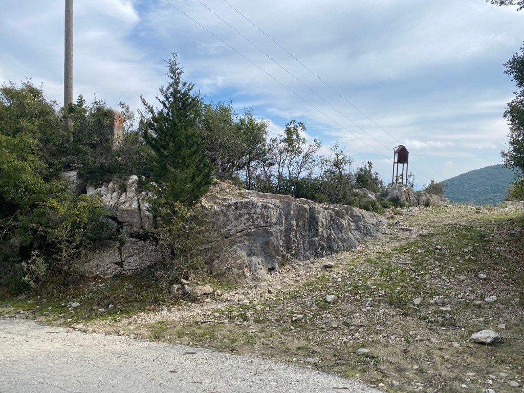
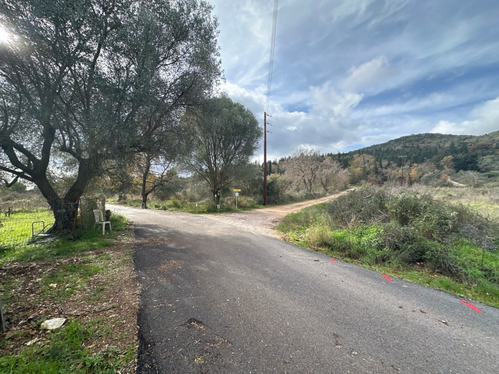
Keep going following the road a few hundred metres up a steep slope to a flatter part just after a bend right. After 40m there is a concrete track off left next to a phone/power wood post.

Turn left at the track by the wooden pole

Keep walking down the track ignoring turnings to a gate across the track with a sign “Leader II”. At this point a monopati starts down the left side of the fence leading from the gate. Take this monopati. At first the monopati keeps close to the fence as it passes around the compound. The fence has barbed wire and an electric wire running along the top (don’t touch it!!). Don’t worry as you will soon leave this unpleasantness behind. There may be a metal “gate” to untie, open and leave as found.

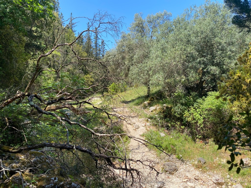
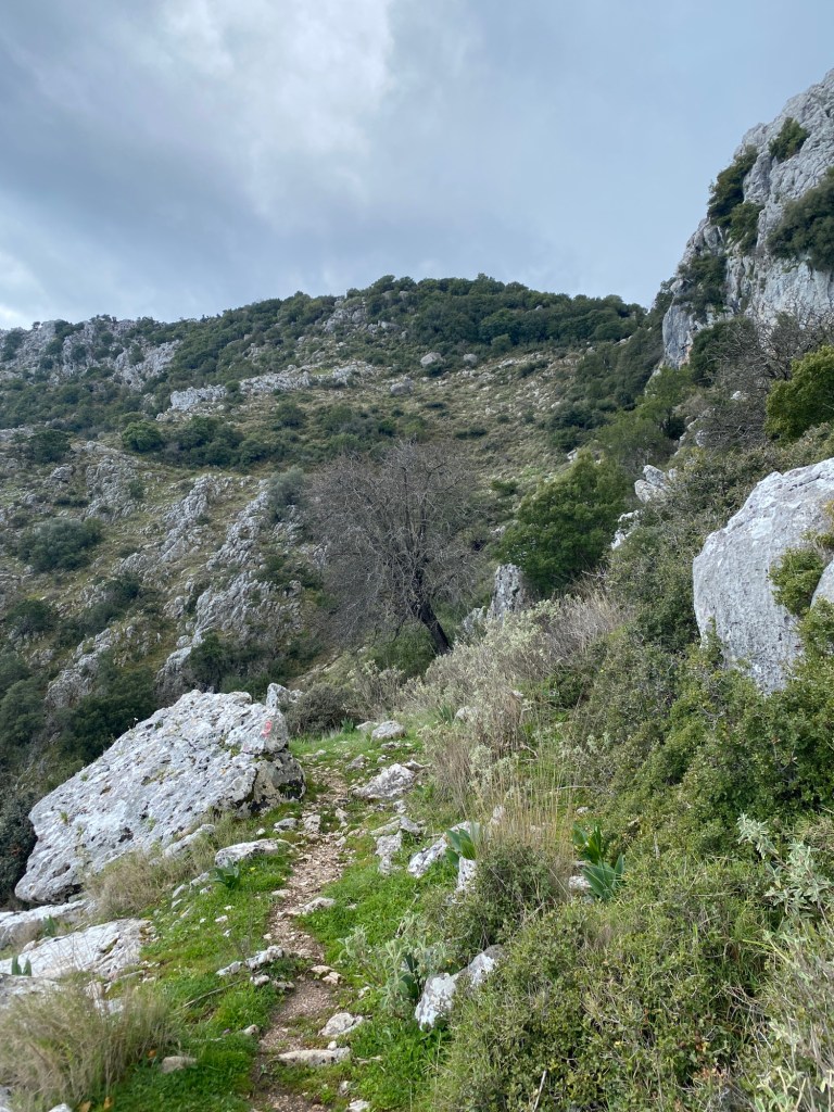
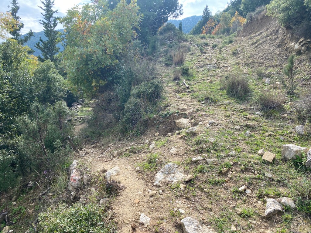
As the monopati leaves the fence it starts to drop steeper into the gorge ahead. Very soon fantastic views open up to the left with some wonderful rock pinnacles framing the gorge below. Descend steeper dropping slightly right down along the ledges taken by the monopati where you eventually reach the bottom with a bridge across the stream.
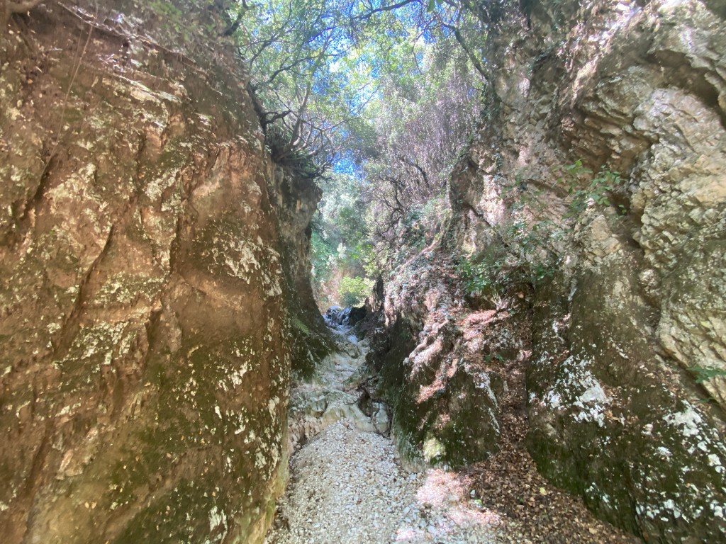
Looking up the gorge from near the bridge

You will eventually take the monopati across the bridge that goes slightly right up the other side of the gorge, but before you go that way explore the gorge upstream. The stream will be dry in summer making this easy – but take care if water is flowing. Don’t do this if heavy rains or thunderstorms are likely as the gorge fills quickly. Go up as far as you wish (and water permitting) – the sides getting more precipitous the further you go. After seeing enough head back to the bridge. If you only came for the gorge then go back up the way you came down – but if up for the full loop head up to the right from the bridge.

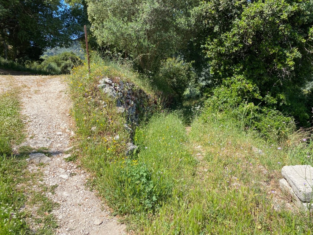
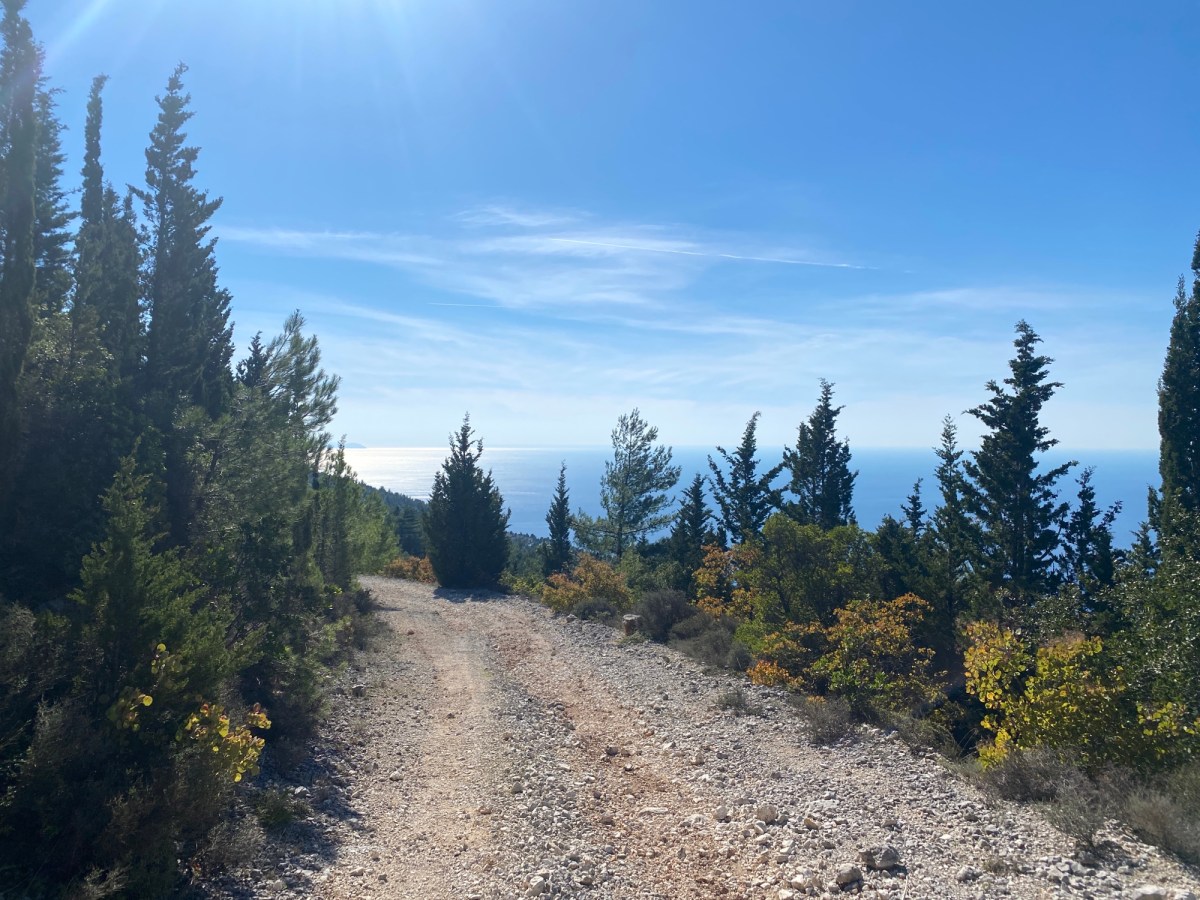
Climb up through the trees on a widening monopati until you reach the top and meet a track. Go left around the vineyards, past an olive grove and under a tall fig tree. Starts to descend for 1km working around the low hill to your left. You get some great views over the trees to Syvros and the Vasiliki valley. Ignore the turn off right sharp and go straight on heading back to Agios Ilias village.

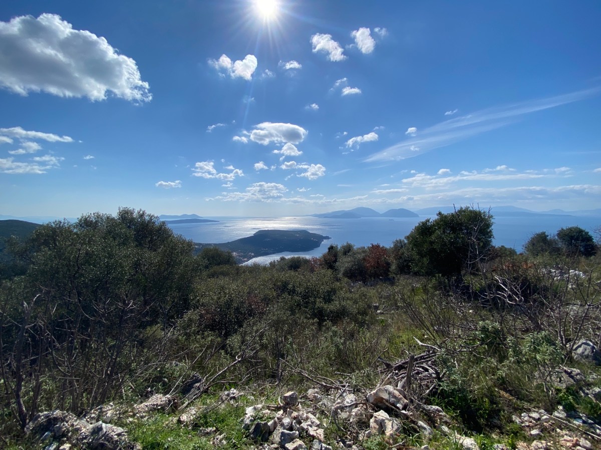
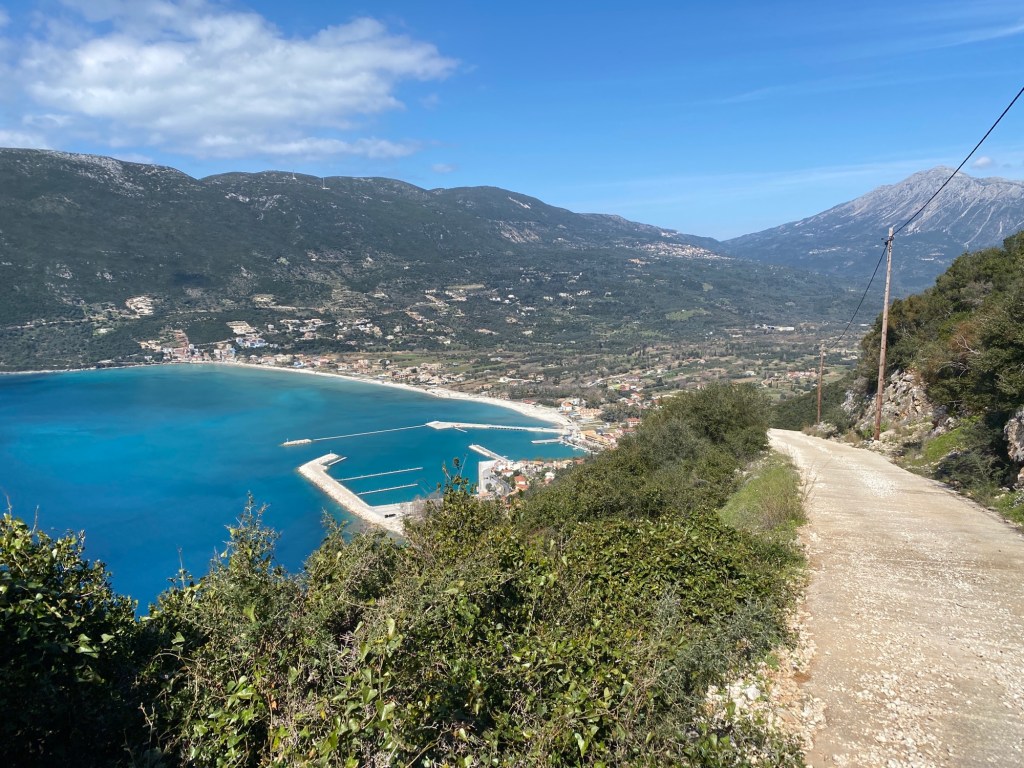
Great views south over Vasiliki valley

Head along the track across the slope for another 1km until you meet a ford. The track crosses the ford and heads off right. The ford is over the lower part of the gorge you crossed higher up, at the bridge. It is possible to go back up the gorge along the stream bed (if it is dry). There are a few rock climbs up waterfalls so you need to be happy using your hands and feet. Far easier is to continue along the track.

Go past a church on the left of the track

After a short distance you pass a church on the left. Keep going to meet another track. Turn left straight up the steep concrete track. At the top the track joins the road just below Agios Ilias. Turn left and go uphill until you reach the taverna where you parked your car. One of the big hairpins can be cut across by an initially concrete track.
Dessimi to Poros cape loop

This walk runs right around the glorious Poros cape in the south east corner of Lefkada. The trail starts either from Poros village itself or from Kamari beach on the east side of the cape near Dessimi (both on exactly the same loop path). You can also walk Dessimi to Poros or vice-versa for a one-way route. This description starts from Kamari beach. Walk in the cool of the morning then enjoy the afternoon on the beach. Perfection.

Note – we get reports that the monopati up the slope back to Poros is very overgrown. So this route is only reliable if you continue to Dessimi. We will check the path and report back.

7.5 km Distance
300 m Ascent
Moderate Grade
Features
Loop Beach
Best Season Spring · Autumn

You ideally need a car or taxi to reach the start of the trail. There is an infrequent bus to Poros from Lefkada town and regular bus to Vlycho.

Start the walk in either Dessimi, Kamari beach 2.2km from Dessimi or Poros. Camping and tavernas in Dessimi and Poros.

You can drive to Kamari beach on a track running from Dessimi. Keep to the right all through Dessimi past campsite and car parks and drive along the coast for 2.2km. The track is mostly unpaved but an easy drive in a car if you go carefully. Alternatively park in Dessimi and walk along the track.

After 2km the track passes a bay and turns sharp left, runs down a slope, and then sharp right opening out to a beach (Kamari). Half way down the slope a monopati goes off right up a steep bank (sometimes hard to spot). This is the start of the trail. Best to park near the beach and walk back a short way to the start. You will end up on the beach at the end of the walk.

Monopati turns off right up a steep bank

Climb up the monopati as it twists and turns up the steep slope. This is a classic old monopati and would be an easy path zig zagging up the steep hillside. However this section is often in danger of being overgrown. If you can, take a pair of loppers and clip the worst as you walk. It is too good a path to lose to the undergrowth. Wear long trousers.

The monopati climbs 300m and then goes over the top of the hill by a large antenna. A track runs up the other side of the slope to the masts and beyond – take this track down to the left. The track slowly descends across the hill until you reach the edge of Poros village. Drop into the village to get a drink in one of the tavernas.

After visiting Poros return to the track as it goes out beyond the village. The track climbs up to a saddle and then starts descending again out towards the cape. Ignore a track off right and then three off left.

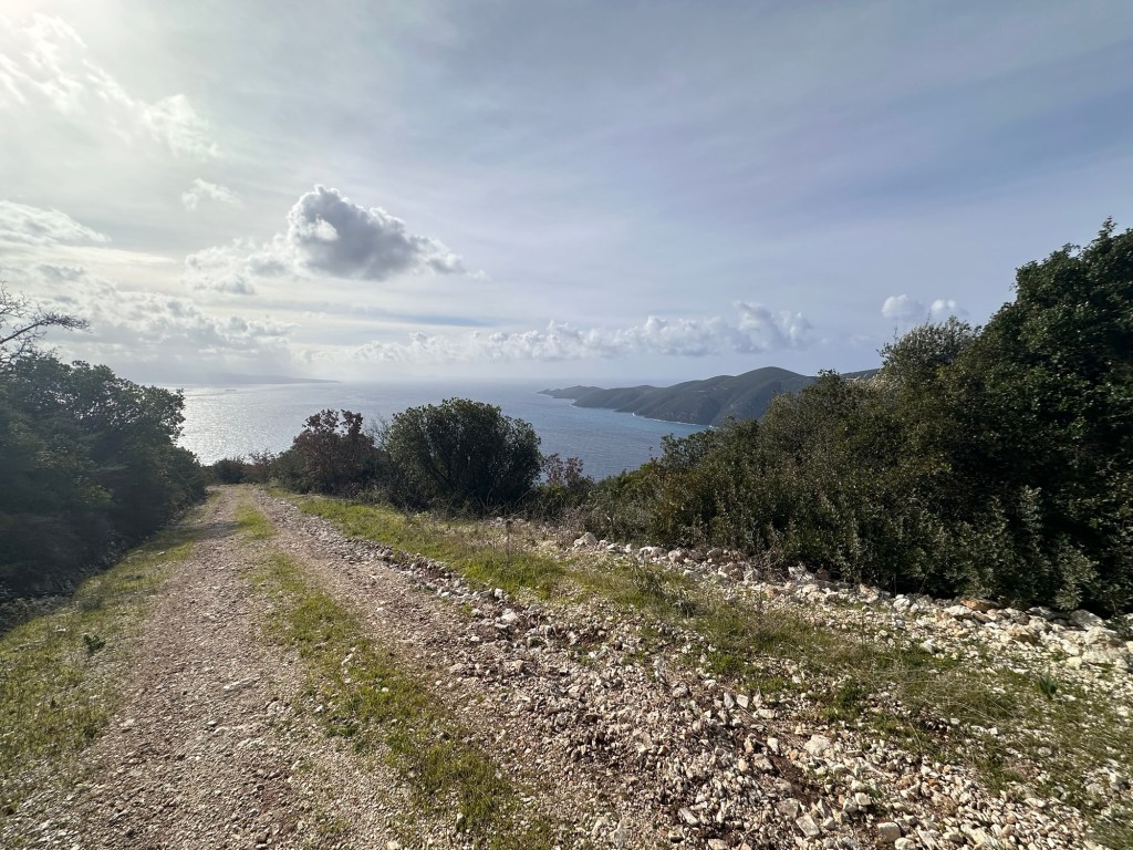
Wonderful views from the track around Poros cape

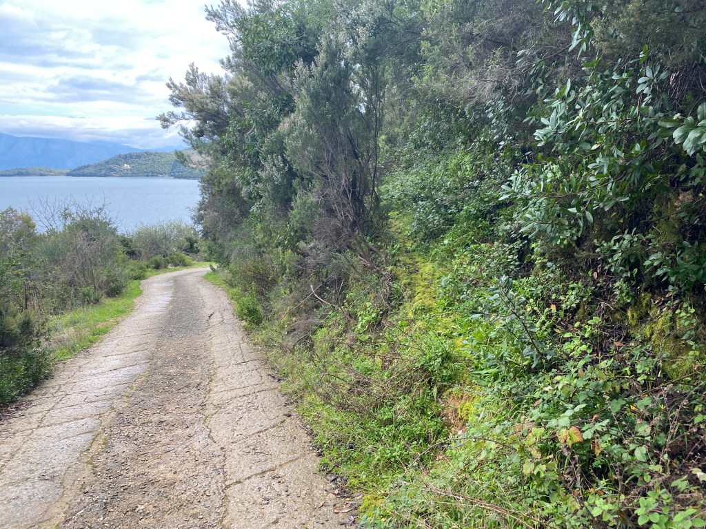
The track rounds the cape and starts heading back north again. All the way are wonderful views off to the sea and islands south and east of Lefkada. Gradually descend sweeping in and out of ravines passing down the slope.

The track descends twisting in and out of ravines

Eventually the track reaches sea level at the other end of Kamari beach you started from. Walk along the beach, have a swim in the crystal clear waters, contemplate the beauty of Lefkada.

Rejoin your car or walk the 2.2 km to Dessimi where there are beach tavernas.

Mount Elati Five Peak Loop

Stunning walk across the roof of Lefkada. A trail with the best views of the north, east and south of Lefkada with the surrounding seas, islands and mainland. Takes in five peaks on the high plain of the eastern end of Mount Elati – the highest part of Lefkada. And all for a mere 166m of climbing. The easy way to be a mountaineer.

If you want a full-on longer hike then walk up the A4 trail from Eglouvi, go around this trail, and then go back down the A5 to Eglouvi. This makes probably the best mountain hike on Lefkada. In total 600m of ascent and 11.5km long. Or for an uber-hike try the Lefkada all-thousand-metre-peaks challenge.

You won’t have to climb but do take suitable clothes, boots or walking shoes and carry plenty of water. The weather up here is usually more extreme than down below except being cooler in summer. The sun is stronger though.

3.5 km Distance
200 m Ascent
Easy Grade
Features
Loop Peak
Best Season Spring · Summer · Autumn

You need a car or taxi to reach the start of the trail. You can walk up from Eglouvi if you are fit.

Links to trails up and down to Eglouvi, or beyond to climb Stavrotas too.

The trail starts from the high road by the antenna at the top of Mnimati at 1,130m. Drive up from either Eglouvi, Karia, Chorta, or Sivros. Take the turning off the high road crossing from Eglouvi to Sivros leading up to the antenna station at the top. Park just before you get to the antenna gates – near to a concrete blockhouse up on the right of the road. Do not block the road or tracks leading off.

Track at the start of the trail leads north-east from the road just below the radio antenna

Take the track heading north-east. There is sometimes a metal fence that you need to locate and untie the wire or rope that holds the track gate closed. Take care and don’t damage the fence (it keeps the cows in). Make sure you re-tie as you found it.

Head along the track with views all the way up to Lefkada town in the distance. After about 300m the track turns sharp left and a marked path goes right. The path is marked with big red and yellow paint marks on the rocks – and is the A4 trail coming up from Eglouvi. Follow that path rightwards all the way to Katharia Rachi – the first peak. The path descends at first to a low pass before climbing up gently to Katharia Rachi after 1.5km. You can’t miss the red and yellow paint marks all the way.

Distinctive read and yellow paint blobs mark much of the trail.

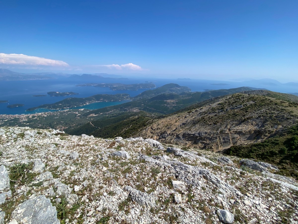
Katharia Rachi is marked with a sign in a small cairn. Also the slope suddenly drops steeply down in front of you and to both sides. You are now at the top of the most glorious view in all of Lefkada. Stand where Odysseus did. Look north towards Lefkada and Preveza beyond – on a clear day up to Paxos and Corfu. To the east is Nidri, out across the Inland Sea with Meganisi, Kalamos, and the mainland. To the south is Ithaca and Kefalonia beyond. To the south-east on a clear day is the start of the Gulf of Corinth and Patras. Stunning. Sit here and enjoy.

Stunning panorama view from Katharia Rachi

When you have finished looking take the path heading sharp-right almost back the way you came. The same red and yellow paint marks descend down and right down to high pass below you. After about 200m the marked path turns back left and descends more gently to the pass. The path then turns right and goes over a low hill until it reaches a T junction with an unsurfaced track. The paint marks go off right, and you will eventually go that way too, but first turn left and follow the track downwards.
Your destination ahead on Alevrata peak

The track descends to another pass where it ends and a path ascends a peak in front of you. Take that path to the top. At the top you stand on Alevrata with a similar amazing view as you had on top of Katharia Rachi except oriented more to the south. You can now see over the whole south of the island with Ithaca and Kefalonia beyond. Again, sit for a while and enjoy.

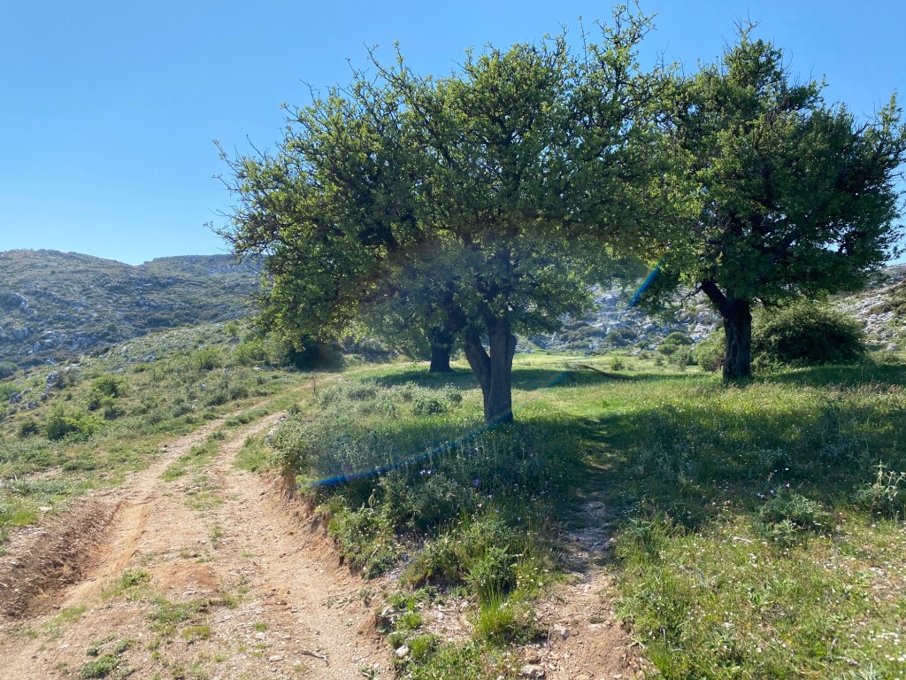
When ready retrace your steps down the path back down to the first pass and then back up the track you came down. Follow the track all the way until you pick up the red and yellow paint marks. Follow the track as it winds across the high plateau. There may be wire fences to cross but most have tied “gates” where crossing the track. Leave them as you found them as they stop the cows roaming.

Track winds across the high plateau

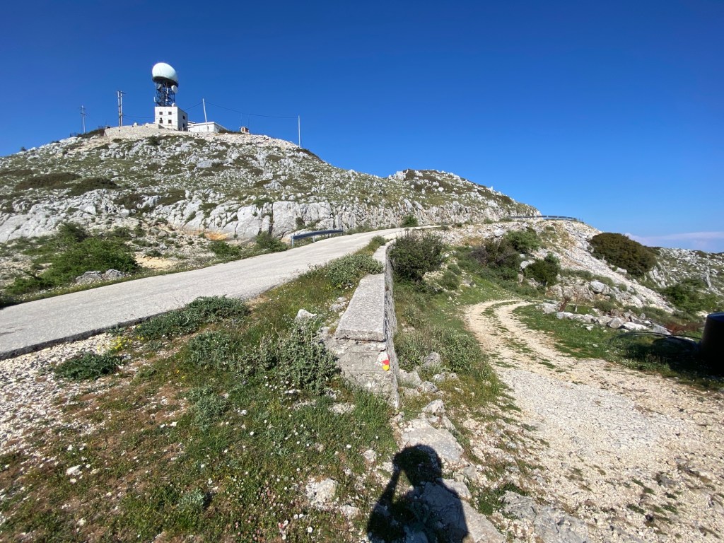
The track eventually climbs back up to the road near the radio antenna at the top of Mnimati. At this point the paint-marked trail follows the A5 down to Eglouvi. Instead follow the road right towards the antennas and your parked car.

Follow the road back right towards the antenna

This trail can be easily linked into the trails A4 and A5 up and down from Eglouvi. You can also head along the short road to the start of the trail up Stavrotas – and go for a sixth peak.

Mellisa Gorge Loop

Walk down into the delightful Mellisa Gorge in the hills above Lefkada town. This gorge is frequently mentioned in guides to Lefkada as a great place for a shady walk beside a stream in the impressive Mellisa Gorge – and indeed it is. However the path through the gorge itself is in extreme disrepair and most of the wood bridges are rotting and very dangerous. Hence you can’t safely traverse into the deepest part of the gorge. But this trail takes you to all the safe parts of the gorge and adds a loop up and back through Kavalos village to make a circular walk.

If you want an alternative gorge have a look at the Klousouria Gorge on the other side of the island.

8 km Distance
300 m Ascent
Moderate Grade
Features
Loop Gorge Forest Shaded
Best Season Spring · Summer · Autumn

Many hotels, tavernas and shops in Lefkada town.

There are several walks in the gorge and valley – a nice one starting from Lefkada village. Unfortunately none of the paths in the gorge link up so you need to walk into the gorge from different directions. This trail takes in the best bits (at least as far as safety allows).

You need a car or taxi to reach the start of the trail. You could take the Karia bus from Lefkada town and get off at the monument, and then walk the 3km to the start.

Drive up the road out of Lefkada town towards Lazarata. About half way up there is a monument on the right hand side (commemorating the 1819 uprising against the British). Immediately in front of the monument is a narrow road going right. Follow the twisty road for 3.5km until an unsurfaced track goes downhill on the right signposted to the Mellisa Gorge. Park here without blocking the road or other tracks. A few drivers go a little down the track to park, but it is pretty rough for a car.

Start of the trail down to the Mellisa Gorge. Park here without blocking the road or track.

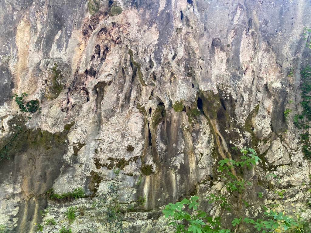
Head down the track going left at the first fork and then keeping on going down the hill. After a few hundred metres you reach a stream with a collapsed wooden shelter followed by a wood arch across the track. More interestingly on the left are signs of an ancient cave that has collapse leaving old stalactites on the cliff wall.
Cliff wall of old collapsed cave system.

Carry on down through the wooded valley down to the start of the gorge. Here is a stone shelter and wooden fences indicating the start of the “official” gorge hike. The gorge runs left and right with dead-ends at the end of the path for each.

Path through the Mellisa Gorge with collapsed hand rail.

First take the path to the left going up the gorge. The narrow stone-surfaced path follows the banks of a lovely stream gently climbing through trees. There used to be a wood handrail but this has almost all collapsed. However the path is easy and the biggest danger is tripping on one of the remaining metal supports. Go a few hundred metres until the path joins a track and then terminates in a grassy area. Good for a rest or picnic. Afterwards retrace your steps back down the path.

On returning to the stone shelter keep left as the stone-surfaced path heads this time downstream. Again, go a few hundred metres as the gorge starts to get narrower and steeper. You meet a track fording the stream and heading off into a valley up to the left (you will go up this track in a moment). The stone-surfaced path heads down into the gorge proper and starts to get very narrow and steep. However the path crosses over increasingly high wooden bridges over the gorge and back again – all of which are in serious disrepair. The wood floorboards are all rotting and several have already broken leaving big gaps. We recommend going no further down the gorge as it is just too dangerous. We will watch to see if they get repaired and update this trail accordingly.

The bridges are now too dangerous to cross – especially where they get higher.

If you came just to see the gorge, go back to the track you came down and hence back to your car. If you are up for the the full loop, head back only as far as that valley that went off left, now right as you are now looking the other way :-). Walk up the track climbing this lovely tree-lined valley.

The start of the valley leading away from the gorge.

Follow the track running up the base of the valley. You pass a huge quarry cliff face up on the right. Ignore the tracks heading into this quarry. Shortly after the track ends in a grassy area. Follow an indistinct path going right straight up the steep hill – just to the left of a small gully filled with thick vegetation.

Head up the steep bank to the left of the thick vegetation

After about 100m the path becomes much clearer before becoming a track zig-zagging up the steep slope. Ignore tracks leading off into olive groves and keep to the main track continuing upwards. After a long climb the track meets a surfaced road. Head left along this road.

Views back across Mellisa Gorge to Lefkada town and mainland

The road climbs, a little less steeply, around the gorge top around to the pretty village of Kavallo. You get great views across the gorge and down to Lefkada town and the mainland beyond. As you approach the village there is a crossroads (or double fork) on the saddle of a hill; take the left turn ahead. Heading into the village you can either keep to the road or take a short track running around to the left – both end up in the village. Once in the village you pass the village church with a distinctive metal lattice bell tower.

Church bell tower in Kavallo

Just after the church, there is a turning off left marked back to the “Mellisa Gorge”. You will turn left down this road, but first walk 50m further past the junction where there is a small taverna on the right. After refreshment head back to the Mellisa Gorge road.

Turn to “Mellisa Gorge” in Kavallo village

The road starts to head back down around the other side of the gorge. It is down hill all the way from here. After going round a few bends, just after passing a cemetery on the right, there is a further turning left again marked towards the gorge. Go down this road as it starts to descend more steeply. After winding down through several olive groves, and passing an old stone watermill on the left, it eventually reaches the track where this trail started.

Katouna Valley and Forest Loop

Beautiful walk from Katouna village climbing up along a stream, climbing over a hill for wonderful views, and back down to Katouna. Best in spring when there is water in the streams and all the flowers are out – but great all year round. There is a fair bit of shade and so works on a hot summer day if you start early. There are several alternative loops around Katouna but this one minimises time spent on surfaced roads.

6 km Distance
300 m Ascent
Moderate Grade
Features
Loop Forest Village Monopati
Best Season Spring · Autumn

Tavernas and holiday lets in Katouna.

One of several possible circular paths from and around Katouna. Use a good map and follow almost any of the tracks and quiet roads on the hills around Katouna. This route avoids most of the surfaced roads whilst visiting many of the pretty parts.

Infrequent bus to Katouna from Lefkada town.

Starts from the the village of Katouna up on the hill above the Lefkada town to Nidri road. Park in or near the small town square. There are good tavernas in and around the square for provisions for your walk or refreshment afterwards. There is a spring part way round the route but best to carry water in case it is dry.

Taverna in Katouna village square – start (and end) of the trail

Walk up the road on the right hand side of the taverna and turn almost immediately first right on a track between the houses. Go about 100m along this track until a monopati forks off right dropping down the hill. Follow the monopati down.

The monopati forks off right

Descend the monopati until it reaches a narrow road. Turn right and go down the road for about 200m until a grass track turns off sharp left between the trees. Be careful as there is another very short track heading off left into an olive grove just before the track you want.

Grassy track turns sharp left off the road.

The track meanders down to the bottom of the valley through trees, across grass meadows and olive groves. The track is slightly indistinct in parts but easy to follow if you watch out or follow a GPS map. You reach a well-laid gravel track running along the bottom of a valley. From this point you go through three path junctions as you go up the valley. If you turn away from going up the valley before passing those three junctions you should check the map.

Start by turning left up the valley. Almost immediately the track hairpins to the right and another track goes leftwards (up the valley). Follow that left-hand track continuing up the valley. After a short distance the track fords over the stream and gradually turns to the left. At that point a grassy track forks off right continuing to follow the stream on its left-hand bank.

A grassy track forks off right just after fording the stream.

Follow the grassy track up the left bank of the stream. It becomes more distinct as it goes. As it hairpins right across the stream another track turns off left. Take the track, keeping on up the stream. You have now now successfully navigated the three junctions.

The track soon turns into a grassy path and then turns left to start climbing up out of the valley. The path climbs up and to the left up a steep slope – which in winter and spring can be a little muddy underfoot as a side-stream flows along it for part of the way. Eventually you reach a track. Turn right and follow up the track.
The track is rather wonderful as it runs through mature forest climbing up the hill. You start to get views back to Katouna and the east coast of Lefkada. After about 1.5km you join a bigger track as it hairpins. Keep on left up the hill. After another 0.5km you join a quiet surface road. Go left up the hill.

Follow the road now for about 1.5km as it climbs up to a higher valley and then up that valley to a pass. About half way there is a welcome spring on the right side of the road. The spring has a tap with drinking water – but best not to drink direct from the stream. There is also a lovely old bridge from before the monopati was turned into a road. After resting here continue up the road to the pass.

Roadside spring with the old monopati stone bridge

At the top of the pass four surfaced roads and two unsurfaced tracks meet. You want the unsurfaced track going slightly down almost directly straight-on from the surfaced road you just came up. It is the right-most of the two unsurfaced tracks and runs immediately to the left of the small farm and goat huts. Consult the map if unsure. You are at the highest point of the trail. You could get driven here by taxi and just walk down to Katouna – making this an easy walk for a hot day.

The unsurfaced track on the left side of the small farm.

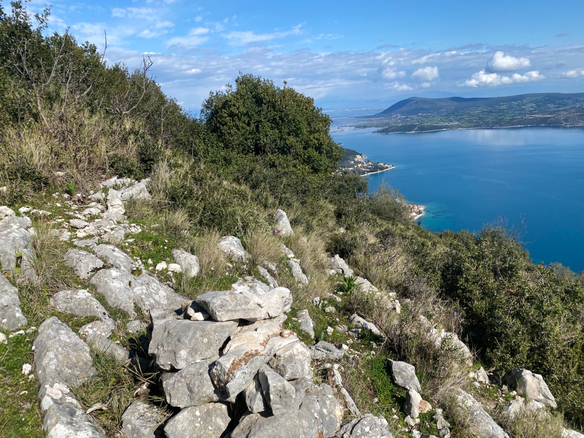
After a short distance down the track keep left at the fork. Follow the track as it traverses around the steep hillside. Enjoy wonderful views across to Skaros mountain with its pine and oak forests. Also down to the Inland Sea on the east coast of Lefkada. This part of the track makes all that climb up worthwhile. It ends at a quiet surface road. Turn right down the road.

Views of Skaros and the Inland Sea

The road is almost as good as the track as it winds 2km down along the ridge and hills back down to Katouna. Turn right at the fork, then keep straight on at the next junction – then turn left at the last T junction heading into Katouna village. When you get into the houses of the village bear right between the houses to reach the square where you started. Enjoy one of the two or three tavernas in and around the square.

Kontarena and Vasiliki Loop

A walk around Sykero, a low hill on the headland south east of Vasiliki with great views over the south of the island. Starts and ends at the two tavernas in Kontarena, which is the first village on the main road to Nidri from Vasiliki. The trail follows unsurfaced track for a fair bit of the way, with some tarmac at the beginning and end. This makes for fairly easy walking albeit up and then down a hill. It also makes an excellent mountain bike trail if you prefer.

Special thanks to the Vasiliki Mountain Race Committee for this trail suggestion.

8 km Distance
300 m Ascent
Easy Grade
Features
Loop Village Monopati
Best Season Spring · Autumn · Winter

Numerous hotels, tavernas and shops in Vasiliki. Taverna and some accommodation in Kontarena.

This path forms a loop from Kontarena. It passes near to Vasiliki two thirds of the way around. You can easily make the trail one-way ending in Vasiliki. Alternatively walk up from Vasiliki and make the trail a loop ending and finishing in Vasiliki. The route as described is probably the best for hills climbed and views.

Regular bus to Vasiliki from Lefkada town. Get off at Kontarena at the bus stop by The Plane Tree taverna.

Park in the village of Kontarena near to The Plane Tree taverna and bus stop. If you don’t have water or sustenance for the walk this is your only opportunity.

The village of Kontarena on the Vasiliki to Nidri road

From the taverna walk in the direction of Nidri and take the first turn on the right up a small surface road. On this route you will see several race and route markers – ignore them all. They belong to the Vasiliki mountain races.

Start of trail off Vasiliki to Nidri road

Head up through the old village as the tarmac road zig zags between the houses. Keep on the tarmac until a T junction where tarmac goes down and up. Go right and up. The road become concrete for a while until returning to tarmac. Keep on this as it turns and climbs steeply out the village.

The road runs up a small valley past olive groves and vineyards. Ignore turnings left and right until you come to a flat section with a grass meadow on your right and several very large olive trees. Take the gravel track on your right climbing up the hill.

Turn right at the flat section by the large olive tree with a fire hydrant at the base

The track turns right then left and then again sharp left where it becomes concrete up the hill. It now follows around the hill and you start to get great views south over Ithaca and Kefalonia.

Views out over the islands east of Lefkada

At the fork in the track keep right. As you climb follow the track past two huge villas. Shortly after the track goes right on a concrete section with the way ahead barred by a gate (sometimes open). Climb up right to the top of Sykero following the concreted zig zag.. As reach the top of Sykero hill you pass a wonderful grassy olive grove.

Grassy olive grove at the summit of the trail on Sykero

Continue down the track as it drops steeper and steeper in large zig zags down the hill heading towards Vasiliki bay. There are amazing views down the the lighthouse on the southern cape.

Great views down to the southern cape.

You pass a single modern villa and start to descend more steeply. If you are cycling the track will test your nerve as you fly down the slope. The steepest parts are concreted.

Heading down towards Vasiliki bay with Stavrotas mountain in the back right

As you approach above Vasiliki the track joins a quiet tarmac road at a T junction. If you go down left you will join a track going right into Vasiliki. This is an alternate end point for you. The main trail goes right up the road. You climb a short way up to a low pass above Vasiliki. Continue straight on through forest and olive groves.

Follow the road through the pine forest ignoring turns. You gradually descend on the other side of the pass re-entering Kontarena village from the opposite side than you started out. There are two good tavernas that each make a good place to refresh.

Skaros mountain from Nikiana loop

This trail climbs up Skaros through the crags above Nikiana looping around the back to descend by track and road returning to Nikiana. The climb is a full 600m up through the oak forest and crags of the eastern flank of Skaros. When you look up Skaros from the Nikiana-Nidri road you see the towering crags. This trail takes a classic monopati to thread through those crags in perfect safety.

11 km Distance
600 m Ascent
Difficult Grade
Features
Loop Forest Village
Best Season Spring · Autumn

Numerous hotels, tavernas and shops in Nikiana.

This path links with others on Skaros. Follow the track over Skaros mountain and down to the Red Church for superb views over Nidri. Alternatively trek along the amazing monopati to Kollyvata and eat at Maria’s taverna – from there you can call a taxi to get back to Nikiana.

Regular bus to Nikiana from Lefkada town and Nidri. Take the Nidri bus from Lefkada town and get off at Nikiana.

The trail starts from a road above Nikiana. If driving from Nikiana follow the signs to the Crystal Waters hotel and go to the uphill side of the hotel. From there, a surfaced but narrow and rough road climbs straight up the hill. Go round four hairpin bends climbing out the village and heading up the road through olive groves. In the middle of a straight section a track forks off slightly downhill on the left. The track is surfaced in concrete for the first 10m and marked by a painted orange arrow. Park here taking care not to block the road or access tracks. The trail starts along the track. If walking from Nikiana either follow the same road or take one of the numerous tracks.

Start of trail off left from road from Nikiana to Kollyvata

After a few hundred metres the track forks. Keep right climbing gradually up the hillside (ignoring two villa driveways).

Take the right track at the fork

After a few hundred metres more a monopati fork right off the track. Follow this path sloping up the hill.

Take the right monopati at the second fork

The monopati turns right and starts to climb up the right hand side of a stream-bed zig zagging up the hill. The trail is marked with orange and red painted markers from here to the top. The way is very clear but don’t mistake red lichen for paint.

Superb views from the monopati as it climbs up Skaros

After a climb up the right side of the stream-bed the monopati turns right to traverse up along stone ledges heading up to the steep crags above. The monopati zig zags up again before heading back left across the base of a tall crag with a small cave just above the path. The monopati zig zags up through a gully taking a clever and safe route up to the top.

The monopati cleverly twists and turns over rock ledges through the crags.

All the way up there are wonderful views across the Inland Sea. You can see north up to Lefkada town, Preveza and beyond. Directly east are the mountains of the mainland. South you can see down to Scorpios and Meganisi. Take time to savour these views. Also give a cheer for those that made this classic monopati in times gone by.

Amazing view south to mainland and Skorpios

As you come over the top you enter the oak forests of Skaros. Many of these trees are hundreds of years old – although many remain relatively small. These oaks are unique to Skaros.

The path heads up a small valley and over a pass to a short descent down to the sheep and goat huts of the Skaros high pastures. Take a well earned break and consider your choices. To your left is a track climbing to the top of Skaros mountain with great views south over Nidri. Straight ahead past the huts is a track climbing to another pass and then down to the Red Church. To the right is the track we will follow back to Nikiana.

Goat huts in the meadows high up on Skaros

The track right starts from a boulder with an orange “23” and arrow pointing along the track. This refers to the route of the 23km mountain run held every autumn. Follow right along the track (running if you feel up to it).

The track climbs a little and then starts to descend. You get good views to your right over Lefkada town and Preveza. After about 2.5km the track becomes surfaced just before joining the Nikiana-Kollyvata road.

Looking back as the trail rejoins the Nikiana-Kollyvata road.

Turn right down the road to Nikiana. After about 1.5km turn right (both roads go down to Nikiana but only the right one passes the starting point of this trail). Descend down the road through the pine forests to your starting point just before entering Nikiana. The road is very quiet and pleasant however if you have a second car or are using a taxi you can save this walk back down the road. Maria’s taverna in Kollyvata is a good place to wait for your taxi.

Vournikas around Lainaki loop

A loop around the Lainaki mountain starting from Vournikas – a mountain village in the valley up above Vasaliki. The trail starts with a steep climb up and over a pass following an old monopati. After descending down the other side the trail contours around the mountain on a wonderful monopati and track. This gives wonderful views first north-east to Nidri then east and south over the Inland Sea finally looking back North to the high Stavrotas mountain. It is a challenging walk (with a steep climb of 400m to start) but very rewarding.

If you have a friend with another car or use taxis you can skip the steep climb by starting from the road above Alatro. This makes the walk one-way but includes most of the best views.

8 km Distance
400 m Ascent
Difficult Grade
Features
Loop Forest Ancient
Best Season Spring · Autumn

You need a car or taxi to drive up to the starting point in Vournikas.

Taverna and accommodation in Vournikas.

The trail starts in Vournikas village. A steep road zig zags up the village from the village taverna. Just as you go past the last house on the right the road straight-on turns into a track. If your car is small it is possible to park here – but please don’t block any tracks. The short track runs to Klimatas Spring with two white columns. Take the monopati climbing up immediately behind the spring.

Klimatas Spring with the trail starting immediately behind

The monopati climbs about 400m up to the ridge above the village. The path is very steep; in parts over loose rocks -so please take great care. The trail is marked with yellow paint over the first part to be joined by red paint marks higher up. Take either the yellow or red trail as they are heading in the same direction.

Nearing the top of the climb from Vournikas

As you near the top you see the high pass you are heading for between the rocky summit of Lainaki and the northern mountain Koryfi. At the very top of the pass is a T junction with a track heading for a goat shed to the right. Take the track left for a short distance and then turn right on another track (now heading down the other side of the pass). Almost immediately take an indistinct path heading down across a series of grassy terraces. Keep going down through each terrace.

The grassy terraces on the other side of the pass.

As the terraces start to become much steeper, keep over to the left hand side until you meet a good monopati path (just over a low wall running down along the left side of the last few terraces). Cross the low wall and descend on the very clear monopati down through the trees.

The monopati descends through the trees.

Descend until you see the well spread out houses of Alatro village just below you. At this point watch out for a second monopati turning very sharp right off the monopati you are descending. The second monopati is not quite as clear as the first so good idea to have a GPS map running to alert you to the turn. The second monopati drops steeply down to a surfaced road. Turn right along the road and go round a few bends past a couple of houses. You will reach a track turning right off the road. Note there are more than one tracks going right off the road. The one you want is by a rock outcrop with a power pole on top and a shrine box on the side of the track.

The track going right by the power pole and shrine box.

If you want to skip the steep climb over the pass you can start the trail from this point. You will need to use another car or taxi to get back from Vounikas.

You now start the contouring trail around Lainaki mountain – with the trail slowly descending as it runs around the hill with just a couple of short climbs on the far side. The views all around are superb. The trail starts as a grassy track.

Grassy track heading around Lainaki mountain.

After a short distance the trail takes the left fork track. Watch out as the fork isn’t very clear.

Take the left fork.

The trail becomes a monopati as it crosses the steep hillside. Take care on the rocky parts as the drop below the monopati becomes very steep. This section of monopati is wonderful. After about 1.5km the monopati turns back into a trail by a spring (water not accessible to walkers).

Trail heading south looking over the inland sea.

Keep going along the track for another 1.5km as it descends a little to reach a low pass on the east side of Lainaki. The track meets another at a T junction. Take the sharp right turn up the hill very shortly turning left again to continue following around the mountain. Go for another 1km or so keeping right as the track starts to gently climb again. Go over a low ridge and the track starts to descend again with the Vounikas village now visible at the end of the track with Stavrotas mountain behind.

The last section of track running down to Vounikas village with Stavrotas mountain behind.

Keep going down the track for about 1.5km. Keep going straight on (taking the lower left track at each of two forks in the track) until you come back into Vounikas just above the last house up the road. Turn down the surfaced road to reach the centre of Vounikas and a very welcome taverna.

Athani loop

Circular walk up through pine forests and up over the limestone hills of south west Lefkada. Starts in the village of Athani just above many of the most famous beaches of this part of Lefkada. Great for a walk followed by a freshing dip – or just a drink in the Athani tavernas.

9 km Distance
400 m Ascent
Moderate Grade
Features
Loop Village Forest
Best Season Spring · Autumn

Very infrequent bus to Athani from Lefkada

Tavernas and accommodation in Athani

Start from the centre of Athani off the short one-way section (towards Lefkada Town). If you are coming from Lefkada Town take the one-way section and then double back left up the steep hill. Park on your right at the top. The trail starts up the road to the right signposted to Serenity Boutique Hotel. Follow up the road (past the hotel). It turns to a concrete surface and then reaches a T junction where it turns to an unsurfaced track. Take the right track (essentially straight on). You will return to this junction at the end of the walk. If you have a small car you can drive up from Athani and park here saving part of the climb.

The T junction where the road becomes unsurfaced. The trail goes right and you will return down the track to the left.

Climb the track steadily climbing up through the pine forest. You get glimpses down to the southern tip of Lefkada and Kefalonia beyond. Eventually you reach a rather ugly ruined block building on your left with a large stony scree coming down the hill. Turn left and ascend directly up the scree.

The ugly ruined block building with scree up to the left.

Pick your way up through the scree. It isn’t hard but take care. This is the roughest part of the walk. Keep left towards the top as the scree ends (hurrah) and becomes a good path. Keep diagonally left up the hillside towards the pass/dip up on the skyline. The path is blocked by bushes in parts which need to be circumvented either below or above the path.

Ascend leftwards up the slope to the dip on the left side of the skyline.

As you come over the top of the ridge you see an old stone ruin off to the right. Keep going left towards a track you can see on the slope beyond.

The ruin as you come over the top of the ridge.

Keep heading towards an unsurfaced track going up the hill. When you reach it turn right and take the track to its end at the top of the hill.

The track over the hill looking back south.

The track ends at the top of the hill and becomes an indistinct path. The route continues along the back of the broad ridge. The path is over gravel hillside with small thyme and heather clumps. It is easy going but sometimes hard to find the path – although there are many goat tracks so easy to keep heading North. Keep going towards the north and towards a solar panel array in the distance. The views here are wonderful both towards the craggy slopes of Stavrotas and the occasional glimpse south west down to the Vasiliki valley.

The path along the ridge with views towards the craggy slopes of Stavrotas

Before you reach the solar panels there is an unsurfaced track going sharp left down the slope. The track descends across a high meadow and past a corrugated-iron animal shelter until it reaches a T junction with another track. Turn left down this track. If you go too far and reach the solar panels you can pick up this second track from there and get back to this trail.

The track you descend looking back at the meadow.

After about a kilometre down the track there is a junction where you need to turn sharp right. This rightward track is hard to spot at first as the track has fir trees growing in the middle and make it hard to find until you are well on to the track. This track turn left and becomes more distinct. It reaches another T junction with a better defined unsurfaced track. Turn left and continue down through the fir trees.

The trail runs down a track with wonderful firs on both sides.

Eventually you reach the junction with the top of the surfaced road back down right towards Athani. Descend the short distance back into the village (unless you parked at the junction on the way up).

Athani is a wonderful village with tavernas and cafes. It is also close to Gialos Beach down the very steep hairpin road – but with a wonderful beach and swimming as a reward for the brave driver.

Kolyvata to Skaros forest loop

Classic route around the Skaros peaks wandering through ancient oak forests along marble terraced monopati. This trail has a number of elements that make it one of the best on the island. The oak trees many of which are hundreds of years old. The ancient monopati following natural rock ledges across the hills. The vibrant colours of flowers and trees that change with each season. And the views across the island and out over the Inland Sea. If you do one walk on Lefkada do this one.

7 km Distance
400 m Ascent
Moderate Grade
Features
Loop Forest Monopati
Best Season Spring · Autumn

Some accomodation in Alexandros and Kolyvata. Taverna in Kolyvata.

If you are fit divert off this path half way along to the Skaros main peak and hence down to the Red Church. From there you can get back along Red Church to Kolyvata. A long trail but well rewarded.

Kolyvata also connects to Karya for long distance hikes.

No public transport unless you take a bus to Lazarata and walk 3km to Kolyvata from there.

Starts from Maria’s taverna in Kolyvata. Follow the path up the right side of the taverna.

The trail starts up the right side of Maria’s taverna

Turn immediately right at the back of the taverna and follow the path/dry stream bed up through the little village. Soon you come to a wider path running up the right side of the churchyard. That turns into a road continuing to climb the hill. Shortly a path goes off left up and over steep rocks. Follow that path until it crosses straight over a second road and goes down the left side of a small monastery.

The monastery is St George’s possibly founded as far back as 1500. It was once very wealthy owning most of the Skaros forest home for 900 goats and sheep. It is currently being restored and so one can only view through the gateway.

The trail now follows a classic monopati that traverses across and up the Skaros peaks. The path is very clear and at times you walk over a gently climbing stone ledge – a marble walkway. This is possibly one of the best examples of the monopati network that once covered all of the island. You follow the footsteps of ancient Greeks.

The classic monopati traversing Skaros

As you climb you start to get views over the oak forests that make up much of the flanks of Skaros.

The slopes of Skaros

Eventually the path reaches a plateau where the path divides. Keep left following the big bright red paint marks. Pass under a group of giant ancient oak trees. Soon after the path with the red blobs starts to descend to the left and another track starts continuing to ascend up to the right. Go a short way up this track to reach the ruin of the Church of the Virgin with fine views out over the east coast.

The ruined church with fine views

After enjoying this ancient sacred spot retrace your steps back to the path with the red blobs and go right down the slope. Keep going down through the trees until you get to an unsurfaced road. Follow the road to your left. (Alternatively turn right and via Skaros peak down to the Red Church and hence back up on Red Church to Kollyvata).

The leftward road gradually descends back along the other side of the peak you have just come over. You now have several wonderful views of the east coast and over to the mainland.

View from Skaros down to the Lefkada east coast and the mainland

The road eventually meets a paved road. Turn left and follow the road around a short distance back to Kolyvata. Use the signs to Maria’s taverna as your guide.

Well worth stopping at Maria’s tiny taverna for a post-walk drink and maybe a meal. Best to ring first and let her know you are coming. Like visiting your favourite aunt who cooks good food.